Bogojina - Vršič above Bogojina
Starting point: Bogojina (185 m)
| Lat/Lon: | 46,678°N 16,2755°E |
| |
Time of walking: 20 min
Difficulty: easy marked way
Altitude difference: 61 m
Altitude difference po putu: 61 m
Map:
Recommended equipment (summer):
Recommended equipment (winter):
Views: 5.529
 | 2 people like this post |
Access to the starting point:
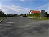
From the Pomurje motorway, take the exit Gančani and follow the road towards Moravske Toplice. After a few km of further driving, the road leads to a slightly larger crossroads in Bogojina. Here you continue straight on (left Moravske Toplice, right Lendava) and a slightly narrower road quickly leads you to the centre of the village. Continue driving through the village, following the signs for Plečnik's church. Just before the church you will come to a small triangular crossroads where you turn left towards the cemetery (straight ahead Plečnikova cerkev). After a short further drive you will come to the cemetery, in front of which you will park in a nicely landscaped parking lot.
Path description:
From the cemetery parking lot, continue along the asphalted road, which climbs gently along the right-hand side of the cemetery. After a short climb, you will come to a small crossroads, where you continue along the left marked road (to the right of St. Urban). The road then loses its asphalt coating and leads us only slightly further to the next crossroads. This time we continue to the right (direction "Štefanov pohod") and continue our ascent along a rather bad road, which leads us past vineyards to a hamlet of individual houses (mainly brick houses). Here we can already see the lookout tower in front of us, which is only a few 10 steps of easy walking away.
Pictures:
 1
1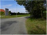 2
2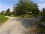 3
3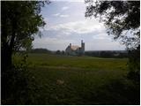 4
4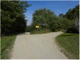 5
5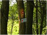 6
6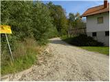 7
7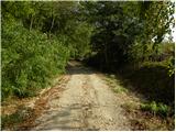 8
8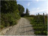 9
9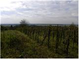 10
10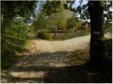 11
11 12
12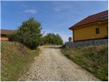 13
13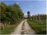 14
14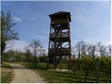 15
15 16
16
Discussion about the trail Bogojina - Vršič above Bogojina