Bohinjska Bela - Planina za Jamo
Starting point: Bohinjska Bela (550 m)
| Lat/Lon: | 46,333°N 14,0584°E |
| |
Time of walking: 1 h 30 min
Difficulty: easy marked way
Altitude difference: 455 m
Altitude difference po putu: 455 m
Map: TNP 1:50.000
Recommended equipment (summer):
Recommended equipment (winter):
Views: 6.280
 | 2 people like this post |
Access to the starting point:
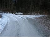
From the motorway Ljubljana - Jesenice take the exit Lesce and follow the road towards Bled and on to Bohinjska Bistrica. 1km after Bled, you will reach a crossroads where you turn right towards Bohinjska Bela. Continue through the village to the railway station, near which the road to Galetovec branches off to the right. Follow this road to the crossroads, where you will see mountain signs and a small parking lot next to them.
Path description:
From the parking lot, continue along the road on the left in the direction of Galetovec. Shortly after a long right turn, a poorly marked cart track turns off to the left. Continue the ascent along cart track, which climbs quite steeply in places. The path then crosses a worse forest road, and then rejoins the road we left. Follow the road to the left, which soon leads to a right-hand bend, in the middle of which the ascent continues on foot. The path crosses the forest road a few more times, then leads us over the pasture fence to mountain pasture for the Cave.
Pictures:
 1
1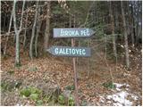 2
2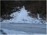 3
3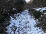 4
4 5
5 6
6 7
7 8
8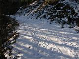 9
9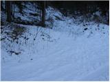 10
10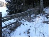 11
11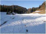 12
12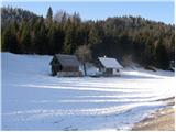 13
13
Discussion about the trail Bohinjska Bela - Planina za Jamo