Bohinjsko sedlo - Lajnar (unmarked way)
Starting point: Bohinjsko sedlo (1277 m)
| Lat/Lon: | 46,2409°N 14,01°E |
| |
Name of path: unmarked way
Time of walking: 45 min
Difficulty: easy unmarked way
Altitude difference: 272 m
Altitude difference po putu: 272 m
Map: Škofjeloško in Cerkljansko hribovje 1:50.000
Recommended equipment (summer):
Recommended equipment (winter): ice axe, crampons
Views: 5.889
 | 4 people like this post |
Access to the starting point:
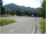
From the motorway Ljubljana - Jesenica take the exit Lesce and follow the road towards Bled and on to Bohinjska Bistrica. From Bohinjska Bistrica turn left towards Tolmin and Soriška mountain pasture. Follow this road to a large parking lot near the Soriška ski centre mountain pasture.
From Železniki go to Podbrdo or vice versa, but only as far as where the signs for Soriška planina direct you to the ascending road. Follow this road to the large parking lot at the foot of the Soriška ski slope mountain pasture.
Path description:
From the parking lot, we turn onto the macadam road, which leads us in 5 minutes in a slight ascent to the hut on Soriška mountain pasture.
From the hut, continue along the road, which turns left (the marked path goes straight alongside the cable car). Follow the relatively slippery road to the artificial lake, which is used to make artificial snow on the ski slope.
From the lake, continue slightly to the left, so that all the lifts are on the right. Continue along the side ski slope, which is recognisable as being quite narrow and also quite steep. This is also the unmarked trail. Follow this path to the ridge with the fence. Turn right here (Dravh on the left) and in a moderate ascent, without any major problems, reach the top in less than 10 minutes of further walking.
We can extend the trip to the following destinations: Dravh
Pictures:
 1
1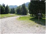 2
2 3
3 4
4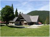 5
5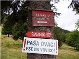 6
6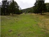 7
7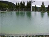 8
8 9
9 10
10 11
11 12
12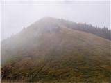 13
13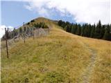 14
14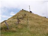 15
15 16
16 17
17
Discussion about the trail Bohinjsko sedlo - Lajnar (unmarked way)