border crossing Matjaševci - Wegkapelle Kölbereck
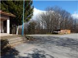
Starting point: border crossing Matjaševci (350 m)
| Lat/Lon: | 46,85746°N 16,0861°E |
| |
Time of walking: 25 min
Difficulty: easy marked way
Altitude difference: 5 m
Altitude difference po putu: 55 m
Map: Pomurje 1:40.000
Recommended equipment (summer):
Recommended equipment (winter):
Views: 178
 | 1 person likes this post |
Access to the starting point:
a) From the road Gorenji Petrovci - Kuzma, after the settlement Dolič, turn right towards Matjaševci. In Matjaševci turn left in the direction of Austria and Tromejnik - Wine Tourist Route Tromejnik (straight ahead Trdkova and Tromejnik - Forest Educational Trail Tromejnik) and drive to the border crossing Matjaševci, where you park.
b) Drive into the centre of Kuzma, where from the roundabout drive in the direction Tromejnika. At the following junctions, follow the signs for Tromejnik, and when you reach the border crossing Matjaševci, park in a suitable place.
Path description:
From the starting point, follow the road marked Tromejnik. At first you are still walking on the asphalt, but soon you will go straight onto the dirt road, which continues along the state border. The minor road, or marked cycle path, has a few junctions further on, and we follow the Slovenian or Austrian markings and border stones. After a while, there is a slightly steeper descent, where we leave the wider path after the border stone No 36 and continue slightly left on a traceable, but less beaten path, which continues directly along the state border. After three minutes of descending, at a crossroads, we reach an asphalt road, and we continue straight on (left Toka / Tauka, right Tromejnik) and after a few minutes of moderate ascent, passing a few more houses, we reach the chapel Wegkapelle Kölbereck, which is seen a few metres above the road, and reached by following the grassy cart track.
Pictures:
 1
1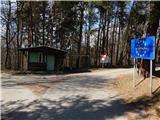 2
2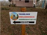 3
3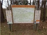 4
4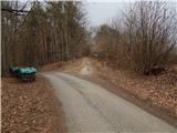 5
5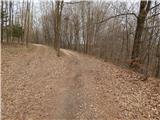 6
6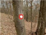 7
7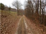 8
8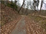 9
9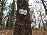 10
10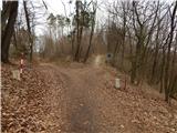 11
11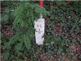 12
12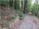 13
13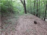 14
14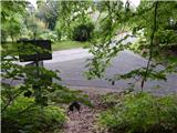 15
15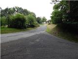 16
16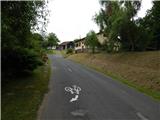 17
17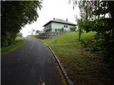 18
18 19
19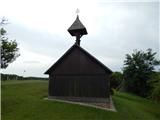 20
20 21
21
Discussion about the trail border crossing Matjaševci - Wegkapelle Kölbereck