Bottom station of cableway on Krvavec - Kopa (Partizanski vrh)
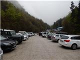
Starting point: Bottom station of cableway on Krvavec (602 m)
| Lat/Lon: | 46,2849°N 14,4968°E |
| |
Time of walking: 1 h 15 min
Difficulty: easy marked way, easy unmarked way
Altitude difference: 422 m
Altitude difference po putu: 430 m
Map: Kamniške in Savinjske Alpe 1:50.000
Recommended equipment (summer):
Recommended equipment (winter): ice axe, crampons
Views: 2.500
 | 1 person likes this post |
Access to the starting point:
a) From the motorway Ljubljana - Jesenice take the exit Vodice, then continue to the first semaphore crossing in Vodice, where you turn left towards Cerkelj na Gorenjskem and Brnik. When you reach the main roundabout on Spodnji Brnik, continue driving in the direction of Cerkeliai and the Krvavec ski resort. At the end of Cerklje na Gorenjskem, leave the main road, which continues towards Velesovo and Visoke, and turn slightly right onto the road towards the Krvavec ski resort. Park in the large parking lot at the bottom station of the Krvavec cable car.
b) From the motorway Jesenice - Ljubljana, take the exit Kranj - East, then continue to Brnik, Komenda and Mengeš. When you reach the main roundabout at Spodnji Brnik, continue driving towards Cerkeliai and the Krvavec ski resort. At the end of Cerklje na Gorenjskem, leave the main road, which continues towards Velesovo and Visoke, and turn slightly right onto the road towards the Krvavec ski resort. Park in the large parking lot at the bottom station of the Krvavec cable car.
Path description:
From the lower station of the round-cabin cable car at Krvavec, continue along the asphalt road towards Štefanja Gora, and walk along it to the first left turn, in the middle of which a marked path, initially even worse, branches off to the right towards Krvavec. The worse road, along which we continue our ascent, climbs up the right bank of the Rijeka River, and we go a little higher, at a marked crossroads, to the left in the direction of Davovec and the upper station of the cable car. There is a short steeper climb and then we reach cart track, which we follow to the left. The cart track gets worse and worse, and we continue along the forest path, which in parts follows the same route as the downhill track, so caution is advised. Higher up, a marked trail branches off to the right from the marked path towards the Davovec Memorial Park, and we continue to the left and after a few minutes of further climbing we reach an abandoned house and, behind it, ruins and an information board. Here, another path branches off to the right towards the aforementioned park, and we continue straight ahead along a wider and, later on, quite steep path, which we follow all the way to the Davovec saddle, where we reach the wide cart track.
When you reach cart track, continue to the left and in a few steps you will reach a marked crossroads, at which there is a sign and a nice bench.
Continue straight on in the direction of Kope (Kokra on the right), and then after a few steps, when one cart track turns slightly left and starts descending, and the other starts climbing, continue parallel to the upper track, which is joined by a passage higher up. After a short section where you follow cart track, then continue slightly right again, following the path as it climbs along a wooded ridge. There is a short climb, and then you reach the vegetated summit of Kopa.
The trail is marked up to the Davovec saddle, and from there on it is only marked.
Description and pictures refer to the situation in 2016 (April).

Pictures:
 1
1 2
2 3
3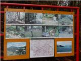 4
4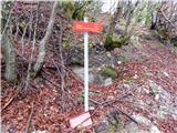 5
5 6
6 7
7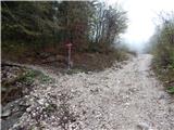 8
8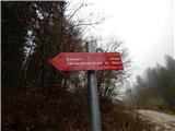 9
9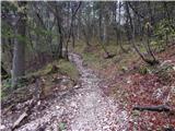 10
10 11
11 12
12 13
13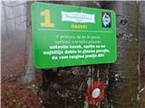 14
14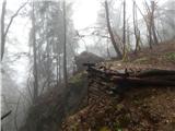 15
15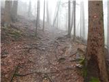 16
16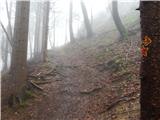 17
17 18
18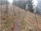 19
19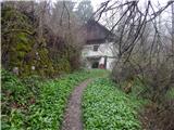 20
20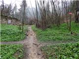 21
21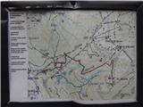 22
22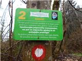 23
23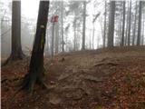 24
24 25
25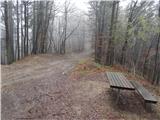 26
26 27
27 28
28 29
29 30
30 31
31 32
32
Discussion about the trail Bottom station of cableway on Krvavec - Kopa (Partizanski vrh)
|
| ijik3024. 04. 2016 |
Tretje izhodišče za točko Kopa(Partizanski vrh)je iz zahodne strani,gorske vasice Možjanca nad Tupalčami pri Preddvoru.Uro in pol zmerne hoje večina po slemenu in grebenu teh gozdov.Da nebi šli direktno na vrh Kopo se lahko pri označenem kažipotu odcepimo na levo Kokrško planino in še na malo manjši vrh Skutman 911m,kjer so v okolici dobri razgledi v dolino Kokro.Spet nadaljujemo po malo manj uhojeni stezi in se priključimo na glavno (zahodnem grebenu Kope.Do vrha imamo še kakih 15min.
|
|
|