Breginj - Muzec - Musc (Mali Muzec)
Starting point: Breginj (550 m)
| Lat/Lon: | 46,262°N 13,4259°E |
| |
Time of walking: 2 h 55 min
Difficulty: partly demanding marked way
Altitude difference: 1062 m
Altitude difference po putu: 1070 m
Map: Julijske Alpe - zahodni del 1:50.000
Recommended equipment (summer):
Recommended equipment (winter): ice axe, crampons
Views: 20.177
 | 3 people like this post |
Access to the starting point:
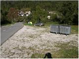
First, drive to the Kobarid centre, then continue to the Robič border crossing. Near the village of Staro selo, leave the main road leading to the Robič border crossing and turn right towards Breginj. Follow the main ascending road to Breginj, where you park in the parking lot near the church.
Path description:
From the parking lot, continue past the church (just go around it on the right) and continue up the asphalted road towards Stol and Muzco. The road first climbs through the village, and we follow it in the familiar direction at the junctions. Higher up, the road loses its asphalt coating and leads us past an old mill to a marked crossroads, where we continue slightly to the right (to the left, the Church of Our Lady of the Snows). The road, which continues to climb moderately, soon leads us to a marked crossroads, where the marked footpath to Musc branches off to the left.
Take the above-mentioned path, which continues to climb moderately through the forest. Next, the path leads to a small spring (a spring with drinking water), then turns slightly to the left and starts to climb steeply. Higher up, the path is laid and leads us to a small crossroads, where we continue to the right (straight Plazi). The way forward again begins to climb steeply through the forest, and then leads us to a sharp and crumbly ridge. Over this ridge leads an exposed path, which leads in a few minutes into the lane of a forest. Once out of the forest, the path leads to grassy slopes where, within a few minutes' further walking, you reach a marked crossroads.
Continue left (slightly right Klatnica - drinking water spring) along the increasingly steep mountain path. The path goes higher up to a very steep and scenic side ridge, which you then climb for some time. Higher up, you reach a small unmarked crossroads, where you continue along a less steep path on the left (the right extremely steep path leads directly to Muzec). The left path then climbs crosswise and leads us past a small pothole to the main ridge of Muzce. Here we continue to the right (left bivouac under Muzec 2 minutes) and along the scenic ridge path we reach the top of Muzec in 10 minutes of further walking.

Pictures:
 1
1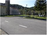 2
2 3
3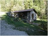 4
4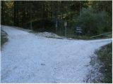 5
5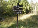 6
6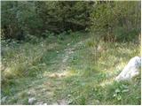 7
7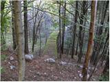 8
8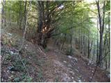 9
9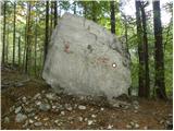 10
10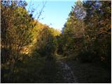 11
11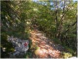 12
12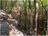 13
13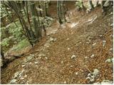 14
14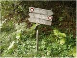 15
15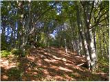 16
16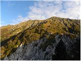 17
17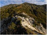 18
18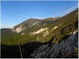 19
19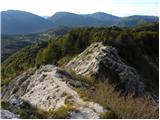 20
20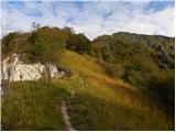 21
21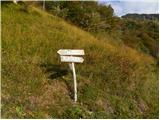 22
22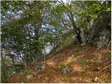 23
23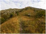 24
24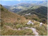 25
25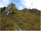 26
26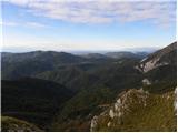 27
27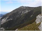 28
28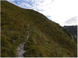 29
29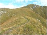 30
30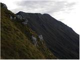 31
31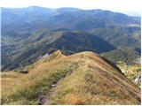 32
32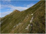 33
33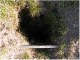 34
34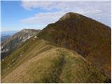 35
35 36
36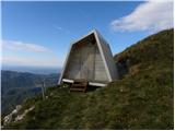 37
37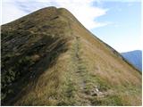 38
38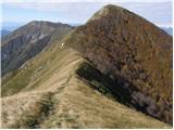 39
39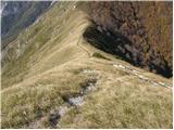 40
40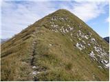 41
41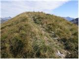 42
42 43
43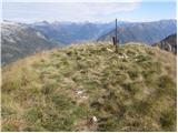 44
44
Discussion about the trail Breginj - Muzec - Musc (Mali Muzec)
|
| fred25. 05. 2009 |
pot je lahka in dobro označena po planinski klasifikaciji (ni zajl in plezanja)drugače pa je naporna posebno v poletnem času ko je treba iti na to turo v zelo zgodnjem jutranjem času kajti ko se sonce upre v hrbet zadnjih 400 višinskih metrov se vsa lahkotnost konča
|
|
|
|
| lubadar7. 01. 2023 13:22:25 |
Na krušljivem grebenu slika 18 in 20 se na enem mestu pot podira in je potrebna velika pazljivost, da se ne zdrsne.
|
|
|
|
| zaspanka29. 09. 2023 10:50:57 |
Zbiratelje žigov obveščam, da na vrhu žal ni žiga, tudi skrinjice ni. Ostal je samo pokrov in vrečka v kateri se nahajata 2 kemična svinčnika in premočena nekoč vpisna knjižica. 
|
|
|