Breginj - Stol (Julian Alps) (via Muzec)
Starting point: Breginj (550 m)
| Lat/Lon: | 46,262°N 13,4259°E |
| |
Name of path: via Muzec
Time of walking: 4 h 45 min
Difficulty: partly demanding marked way
Altitude difference: 1123 m
Altitude difference po putu: 1300 m
Map: Julijske Alpe - zahodni del 1:50.000
Recommended equipment (summer):
Recommended equipment (winter): ice axe, crampons
Views: 18.551
 | 3 people like this post |
Access to the starting point:
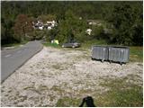
First, drive to the Kobarid centre, then continue to the Robič border crossing. Near the village of Staro selo, leave the main road leading to the Robič border crossing and turn right towards Breginj. Follow the main ascending road to Breginj, where you park in the parking lot near the church.
Path description:
From the parking lot, continue past the church (just go around it on the right) and continue up the asphalted road towards Stol and Muzco. The road first climbs through the village, and we follow it in the familiar direction at the crossroads. Higher up, the road loses its asphalt coating and leads us past an old mill to a marked crossroads, where we continue slightly to the right (to the left, the Church of Our Lady of the Snows). The road, which continues to climb moderately, soon leads us to a marked crossroads, where the marked footpath to Musc branches off to the left.
Take the above-mentioned path, which continues to climb moderately through the forest. Next, the path leads to a small spring (a spring with drinking water), then turns slightly to the left and starts to climb steeply. Higher up, the path is laid and leads us to a small crossroads, where we continue to the right (straight Plazi). The way forward again begins to climb steeply through the forest, and then leads us to a sharp and crumbly ridge. Over this ridge leads an exposed path, which in a few minutes leads into the lane of the forest. Once out of the forest, the path leads to grassy slopes where, within a few minutes' further walking, you reach a marked crossroads.
Continue left (slightly right Klatnica - drinking water spring) along the increasingly steep mountain path. The path goes higher up to a very steep and scenic side ridge, which you then climb for some time. Higher up, you reach a small unmarked crossroads, where you continue along a less steep path on the left (the right extremely steep path leads directly to Muzec). The left path then climbs crosswise and leads us past a small pothole to the main ridge of Muzce. Here we continue to the right (left bivouac under Muzec 2 minutes) and along the scenic ridge path we reach the top of Muzec in 10 minutes of further walking.
From Muzco, continue along the marked mountain trail, which begins to descend steeply to the east. The path, which is particularly dangerous to slip on in wet conditions, soon becomes steep and then continues along a very scenic ridge. The path then crosses lane of bushes and then descends steeply for a short distance, over a partly rocky slope. The descent ends at a small saddle, and the path briefly switches to the north side of the ridge, where it passes through lane of bushes. Further on, the path starts to climb steeply and after a few minutes of further walking leads to the indistinct summit of Ribežni (1518 m).
The way forward continues, partly along the dwarf pines ridge, which offers beautiful views on all sides. Higher up, the path leads us to the next undistinguished peak (Puntarčič), from which we have a beautiful view of the Kobarid Stol.
There is a short descent and we are joined on the right by the path from St Marjeta (we will return to the valley later on the above-mentioned path). Continue straight on towards Stol on the path which climbs steeply at first and then for a short time. Follow this further scenic route to the top of Stol, which is reached after 15 minutes of further walking.

Pictures:
 1
1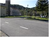 2
2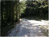 3
3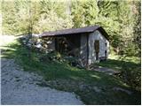 4
4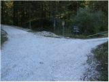 5
5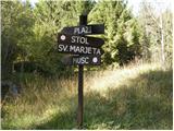 6
6 7
7 8
8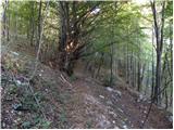 9
9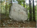 10
10 11
11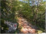 12
12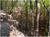 13
13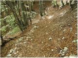 14
14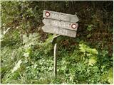 15
15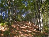 16
16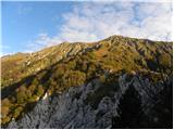 17
17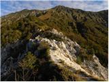 18
18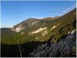 19
19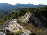 20
20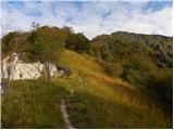 21
21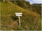 22
22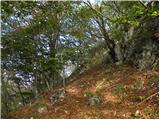 23
23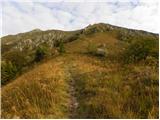 24
24 25
25 26
26 27
27 28
28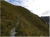 29
29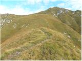 30
30 31
31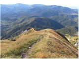 32
32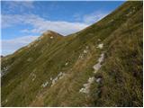 33
33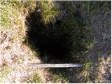 34
34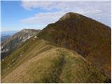 35
35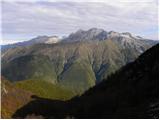 36
36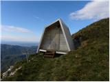 37
37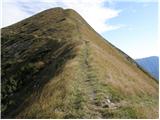 38
38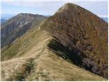 39
39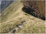 40
40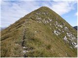 41
41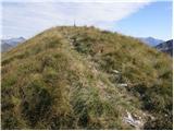 42
42 43
43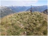 44
44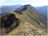 45
45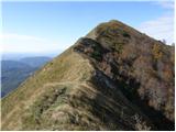 46
46 47
47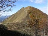 48
48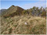 49
49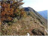 50
50 51
51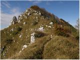 52
52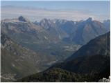 53
53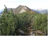 54
54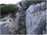 55
55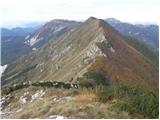 56
56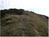 57
57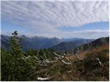 58
58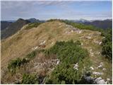 59
59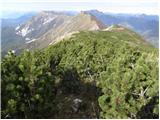 60
60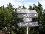 61
61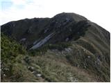 62
62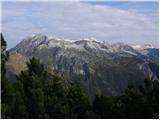 63
63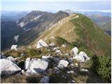 64
64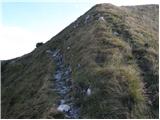 65
65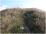 66
66 67
67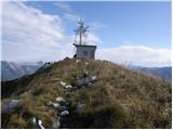 68
68 69
69
Discussion about the trail Breginj - Stol (Julian Alps) (via Muzec)
|
| cebelca6. 04. 2011 |
Je kdo pred kratkim prehodil tole pot in bi vedel povedat kaj več o stanju poti?
|
|
|
|
| IgorZlodej8. 04. 2011 |
Hodil nisem, sem pa zviška gledal tja čez. Južna pobočja so v celoti kopna, tudi greben, na kakem mestu se še lahko najde kakšna flikca snega, več pa ga je na severni strani. Vsekakor priporočam. lp
|
|
|
|
| AnaR18. 07. 2016 |
Ta vikend smo sli v obratni smeri Srol-Muzec. Zelim opozoriti, da je ta pod dokaj neurejena in neprijetna- trava je visoka in tako zakriva luknje v tleh. Ce se odpravite tolw turo,bodite res previdni in pozorno glejte kje hodite ... pa srecno pot  !
|
|
|
|
| PUHIPUHI19. 07. 2017 |
Zanima me ali je kdo zadnje dni hodil po grebenu Muzec Stol? Visoka trava? Shojena pot?
|
|
|
|
| ločanka22. 04. 2019 |
V petek sva hodila po tej poti, samo v obratni smeri. Najprej na Stol, nato pa po grebenu na vrh V. Muzca (Gabrovec) in nato po tu opisani strmi poti v dolino. Najlepši razgled zame prav na vrhu V.Muzca, zato se je nujno potrebno povzpeti tudi nanj  .
|
|
|
|
| Enka22. 04. 2019 |
Ločanka, katera smer pa se ti zdi boljša? Vajina ali ta iz opisa?
|
|
|
|
| ločanka22. 04. 2019 |
Skoraj bi si upala trditi, daj je bila najina smer boljša varianta. Če bi šla še enkrat prvič, bi storila enako  . Če bom pa šla še kdaj , bi pa poizkusila še kaj drugega, morda drugo izhodišče ali pa kakšen drug del grebena, ali pa kaj v kombinaciji s prenočevanjem v bivaku. Tam na sedlu se mi je zdelo prav zelo prijetno  .
|
|
|
|
| ločanka22. 04. 2019 |
Enka, a si pogledala tudi moj opis na trenutnih razmerah?
|
|
|
|
| Enka24. 04. 2019 |
Ločanka, seveda sem, najprej  . To turco imamo tudi mi ogledano, zato sem izkoristila priložnost, da vprašam. Ker takole s kavča mi zgleda vajina sestopna pot z grebena nekoliko strmejša od pristopne.
|
|
|
|
| ločanka25. 04. 2019 |
Saj je tudi bila 
|
|
|