Brezje - Bazilika Marije Pomagaj na Brezjah (Rožnovenska pot)
Starting point: Brezje (486 m)
| Lat/Lon: | 46,3284°N 14,2307°E |
| |
Name of path: Rožnovenska pot
Time of walking: 3 h 30 min
Difficulty: easy marked way
Altitude difference: 0 m
Altitude difference po putu: 225 m
Map: Karavanke - osrednji del 1:50.000
Recommended equipment (summer):
Recommended equipment (winter):
Views: 2.510
 | 2 people like this post |
Access to the starting point:
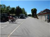
Leave the Gorenjska motorway at the Brezje exit, then follow the signs for the Basilica of Our Lady of Help of Christians in Brezje. Park in the large parking lot in front of the basilica.
Path description:
From the Basilica of Our Lady of Help of Christians in Brezje, continue along the road towards Peračica. Through the settlement, follow the signs for Brezje and the Rožnovensko trail, and at the end of the settlement, the road starts to descend steeply to the bridge over the Peračica stream. On the other side of the bridge there is a short climb, then leave the road leading to the Peračica settlement and continue right towards the Rožnovenska trail. Walk along the road for about 10 minutes and then the signs for Kovor direct you to the right, to the path that continues along the right bank of the Strašnik stream. A little further on, we cross the stream via a footbridge, and then start climbing through the forest, still following the signs for Kovor and the Rožnovensko trail at the crossroads. Higher up, the path is laid and leads us out of the forest, from where we have a beautiful view of the surrounding mountains. A little further on, you reach the village Hudo, where at the chapel you continue to the left in the direction of Brezje and Husica. Follow the asphalt road to the farm Matiček in village Brezje pri Tržiču, where you are about halfway.
At the farm, turn left towards Popovo and Vadiče, and at the next crossroads turn right towards Vadičy. The road starts to descend more visibly and we get a nice view of Julian Alps with Triglav. Lower down, you reach the village of Vadiče, and a little further on, Leše, where you go left at the crossroads (Paloviče on the right). A little further on, the asphalt ends, and then, with frequent beautiful views, we reach the village of Peračica, where the Brezjanska cesta mirau (Brezjan Peace Trail) joins us from the right.
Continue straight ahead, and at the end of the settlement you will reach a crossroads where you will join the part of the trail where you have already walked. From here it is just a return journey to the starting point and the end of the route at the Basilica of Our Lady of Help of Christians in Brezje.
The Rosary Trail is 12. 2 km long.
Description and pictures refer to the situation in 2017 (May).

Pictures:
 1
1 2
2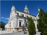 3
3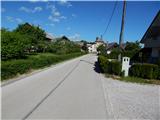 4
4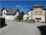 5
5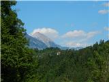 6
6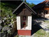 7
7 8
8 9
9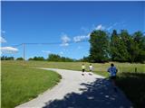 10
10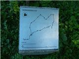 11
11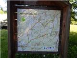 12
12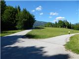 13
13 14
14 15
15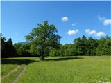 16
16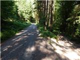 17
17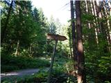 18
18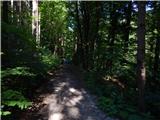 19
19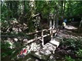 20
20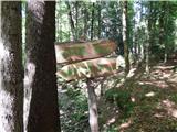 21
21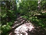 22
22 23
23 24
24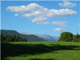 25
25 26
26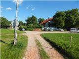 27
27 28
28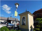 29
29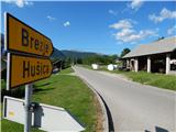 30
30 31
31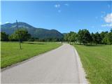 32
32 33
33 34
34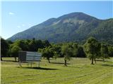 35
35 36
36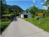 37
37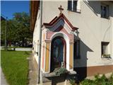 38
38 39
39 40
40 41
41 42
42 43
43 44
44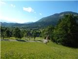 45
45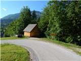 46
46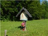 47
47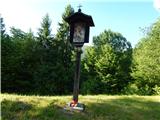 48
48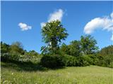 49
49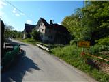 50
50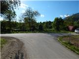 51
51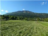 52
52 53
53 54
54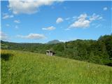 55
55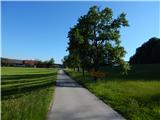 56
56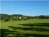 57
57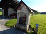 58
58 59
59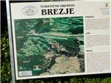 60
60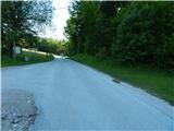 61
61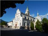 62
62
Discussion about the trail Brezje - Bazilika Marije Pomagaj na Brezjah (Rožnovenska pot)