Brezno - Sveti Jurij (Remšnik) (by Brezniški potok)
Starting point: Brezno (317 m)
| Lat/Lon: | 46,59567°N 15,31783°E |
| |
Name of path: by Brezniški potok
Time of walking: 1 h 35 min
Difficulty: easy unmarked way, easy marked way
Altitude difference: 368 m
Altitude difference po putu: 368 m
Map: Pohorje 1:50.000
Recommended equipment (summer):
Recommended equipment (winter): ice axe, crampons
Views: 148
 | 1 person likes this post |
Access to the starting point:
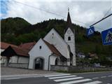
From the road Maribor - Dravograd, drive to the village of Brezno, where you park in the village. The best place to park is by the cemetery near the parish church of St. Mary of the Assumption.
Path description:
From the parking lot, walk to the road that continues north of the church and then leads along the Breznik stream. Follow the Breznik brook for about 1 hour, then arrive at a marked crossroads, where you turn left in the route Remšnik (straight ahead Brezni Vrh and Kapla).
Continue along the road, which initially leads you along Kelner's Graben, but the road retreats higher up from the graben to the slopes, over which you cross-climb. Higher up, markings from the road direct us left into the forest, through which we climb steeply, and follow the less well-trodden path in the direction of the markings. Leave the forest at a higher altitude and climb across the meadow to cart track, which you follow to the nearby St George's Church at Remšnik.
Description and pictures refer to April 2022.
Pictures:
 1
1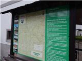 2
2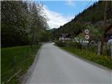 3
3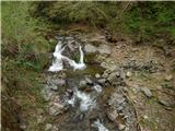 4
4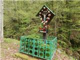 5
5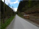 6
6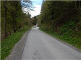 7
7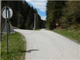 8
8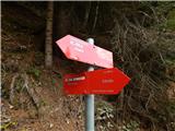 9
9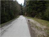 10
10 11
11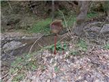 12
12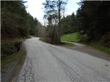 13
13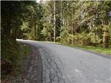 14
14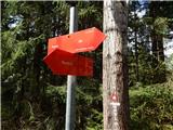 15
15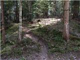 16
16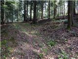 17
17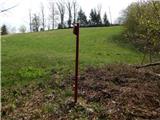 18
18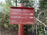 19
19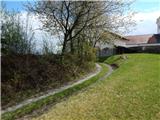 20
20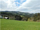 21
21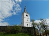 22
22
Discussion about the trail Brezno - Sveti Jurij (Remšnik) (by Brezniški potok)