Brezovica - Markova glava (razgledna stena)
Starting point: Brezovica (538 m)
| Lat/Lon: | 45,65512°N 15,12371°E |
| |
Time of walking: 30 min
Difficulty: easy unmarked way
Altitude difference: 184 m
Altitude difference po putu: 200 m
Map: Dolenjska - Gorjanci, Kočevski Rog 1:50.000 ali Semič 1:25.000
Recommended equipment (summer):
Recommended equipment (winter):
Views: 3.610
 | 2 people like this post |
Access to the starting point:
a) From direction Podturn pri Dolenjskih Toplicah drive towards Črnomelj, just below the top of the Brezovica Pass on the left you will see a turn-off for the nearby quarry. Take this exit and park in a suitable place immediately along the road.
b) From the route of Črnomelj, drive towards Podturno at Dolenjske Toplice and as soon as you pass the Brezovica Pass, you will see the exit for the nearby quarry on the right. Take this exit and park in a suitable place immediately along the road.
Path description:
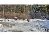
From the parking lot, take the forest road on the right (opposite from the route of the quarry). Walk along the road for about 200 m and turn left at the electricity pylon onto the footpath. The path climbs steeply for about 5 minutes, but after a left turn the steepness eases and you climb over the slope in two longer, winding serpentines. The path then turns inland and, when you reach the forest track logging trail, you ascend it briefly. At the top of the climb, logging trail becomes a footpath, and here we are at the highest point of the route. Now there is a 5-minute descent to the lookout wall. Just before the wall, when we see the cross, the marked path from Črmošnjice joins us from the right.
The trail is easy to follow in both summer and winter.
Pictures:
 1
1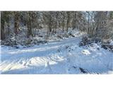 2
2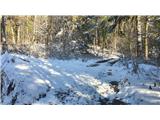 3
3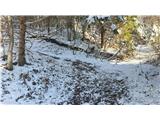 4
4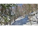 5
5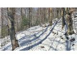 6
6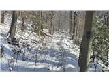 7
7 8
8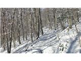 9
9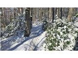 10
10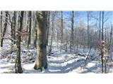 11
11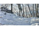 12
12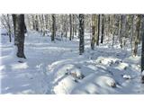 13
13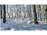 14
14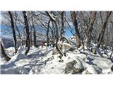 15
15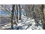 16
16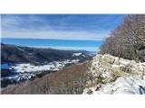 17
17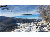 18
18
Discussion about the trail Brezovica - Markova glava (razgledna stena)