Brinje - Borovje (via rovt Vrse and saddle)
Starting point: Brinje (1040 m)
| Lat/Lon: | 46,4749°N 13,9566°E |
| |
Name of path: via rovt Vrse and saddle
Time of walking: 1 h 25 min
Difficulty: partly demanding unmarked way
Altitude difference: 436 m
Altitude difference po putu: 445 m
Map: Kranjska Gora 1:30.000
Recommended equipment (summer):
Recommended equipment (winter): ice axe, crampons
Views: 7.101
 | 2 people like this post |
Access to the starting point:
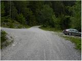
Leave the Gorenjska motorway at exit Jesenice - West (Hrušica) and continue to Kranjska Gora. After about 5 km drive from the town, when we have left the motorway, the signs for Dovje direct us to the right. Drive into the above-mentioned town, through which follow the signs for Kepa and Dovško Baba. Shortly above Dovje, the asphalt ends, and the road leads us only about 100 m further to a marked crossroads, where the signs for Kepa direct us to a sharp left (straight Dovška Baba). Continue driving for some time, "overlooking" all the smaller crossroads. Higher up, you will come to a slightly larger junction where the road to Vrse rovt branches off to the left, and the road to Erjavčev rovt continues straight ahead (signs by the road to Kepa). Park at the parking lot by the junction, but you can also continue driving along the road to the left for a while.
Path description:
From the parking lot, take the road to the left, which starts to climb moderately, then completely lays down and crosses the slopes to the left. The road, which occasionally offers beautiful views of Julian Alps, leads after about 15 to 20 minutes to a place where you will see a small cairn on the right hand side, where a path branches off and leads to Borovje (Borovje on the ridge).
Continue straight ahead and follow the road for a few minutes, then just about 100 m above a sharp right turn, you will see a wide cart track heading off the road to the right. Take the aforementioned cart track, which is also the route of an arrow on a nearby tree. The way ahead leads us quickly out of the forest, and we, along the edge of the forest, climb up to the huts on the Vrse rovt.
Here we continue straight ahead, i. e. on the left-hand side of the two huts, where we see a slightly less well-trodden path above the meadow, which changes to cart track at a higher altitude, and then climbs through the initially sparse forest. Cart track soon ends, and we continue our ascent, initially along a torrential gully, but higher up the path turns into a gully, which is not so distinct anymore. After the aforementioned gully, in a few minutes, we climb to a saddle between Planica on the left and Borovje on the right.
At the saddle called Šija 1, continue right (sharp left Planica, left Mittagskogel over Kurjeke, straight down Erjavčev rovt on a trackless track (very difficult)) and initially ascend cross-country to the right, then the path passes onto a ridge where it starts to climb steeply. Higher up, the track, from which we get a transient view towards Kepa and Frauenkogel, lays down and turns right only slightly higher up, where it switches to steep slopes. Cross the slopes and then join the 'ridge' path.
Continue left here and cross briefly to the right. After a short crossing, you leave the forest and enter a rockier world, over which you climb over a slightly exposed slope to the cross at Borovje.

Pictures:
 1
1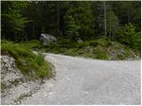 2
2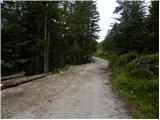 3
3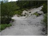 4
4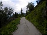 5
5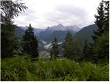 6
6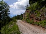 7
7 8
8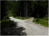 9
9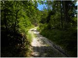 10
10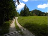 11
11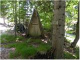 12
12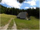 13
13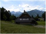 14
14 15
15 16
16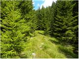 17
17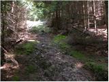 18
18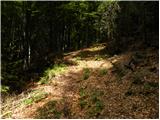 19
19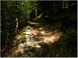 20
20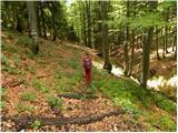 21
21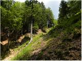 22
22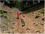 23
23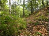 24
24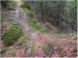 25
25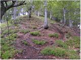 26
26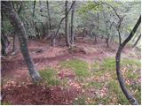 27
27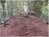 28
28 29
29 30
30 31
31 32
32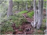 33
33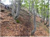 34
34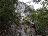 35
35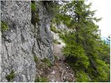 36
36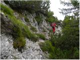 37
37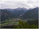 38
38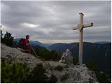 39
39 40
40
Discussion about the trail Brinje - Borovje (via rovt Vrse and saddle)
|
| heinz1. 08. 2011 |
Zgleda, da je g. Hartman za na vrh priskrbel nov križ.., on je namreč tisti gostoljubni mož, ki navadno skrbi za Borovje. Vedno rad povabi (enkrat me je že pogostil) v svoj razkošen vikend na Vrsah.
Upam, da mi kdo ne zameri, če prva domneva slučajno ne drži..
Sicer pa sta tako Borovje, kot tudi nekaj metrov višja soseda Planica zaradi enkratnih razgledov vsekakor vredna obiska.
|
|
|
|
| Darxta7. 10. 2013 |
Poti, čeprav je nemarkirana, ni težko slediti, pa tudi tale opis je zelo dober. Edino pri rovtu je potrebno biti pozoren - pot gre mimo malega lesenega korita na levi. Strinjam se z delno zahtevno kategorizacijo, pa čeprav govorimo "samo" o par desetih metrih poti pod vrhom. Razgled - odličen!  Kot bonus pa se je v vpisni knjigi (oz. bolj improviziranem zvezku) razvila zabavna debata o upravičenosti križa (kot simbola krščanstva) na vrhu. Priporočam, da pridete na vrh s termovko čaja (oz. mrzlo pijačo v poletnem času), si vzamete čas ter preberete komentarje ob enem lepših razgledov v tem koncu 
|
|
|