Brinje - Planica (via Vrse)
Starting point: Brinje (1040 m)
| Lat/Lon: | 46,4749°N 13,9566°E |
| |
Name of path: via Vrse
Time of walking: 1 h 45 min
Difficulty: partly demanding unmarked way
Altitude difference: 468 m
Altitude difference po putu: 500 m
Map: Kranjska Gora 1:30.000
Recommended equipment (summer):
Recommended equipment (winter): ice axe, crampons
Views: 7.857
 | 5 people like this post |
Access to the starting point:
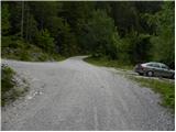
Leave the Gorenjska motorway at exit Jesenice - West (Hrušica) and continue to Kranjska Gora. After about 5 km drive from the town, when we have left the motorway, the signs for Dovje direct us to the right. Drive into the above-mentioned town, through which follow the signs for Kepa and Dovško Baba. Shortly above Dovje, the asphalt ends, and the road leads us only about 100 m further to a marked crossroads, where the signs for Kepa direct us to a sharp left (straight Dovška Baba). Continue driving for some time, "overloking" all the smaller crossroads. Higher up, you will come to a slightly larger junction where the road to Vrse rovt branches off to the left, and the road to Erjavčev rovt continues straight ahead (signs by the road to Kepa). Park at the parking lot by the junction, but you can also continue driving along the road to the left for a while.
Path description:
From the parking lot, take the road to the left, which starts to climb moderately, then completely lays down and crosses the slopes to the left. The road, which occasionally offers beautiful views of Julian Alps, leads after about 15 to 20 minutes to a place where you will see a small cairn on the right hand side, where a path branches off and leads to Borovje (Borovje on the ridge).
Continue straight ahead and follow the road for a few minutes, then just about 100 m above a sharp right turn, you will see a wide cart track heading off the road to the right. Take the aforementioned cart track, which is also the route of an arrow on a nearby tree. The way ahead leads us quickly out of the forest, and we, along the edge of the forest, climb up to the huts on the Vrse rovt.
Here we continue straight ahead, i. e. on the left-hand side of the two huts, where we see a slightly less well-trodden path above the meadow, which changes to cart track at a higher altitude, and then climbs through the initially sparse forest. Cart track soon ends, and we continue our ascent, initially along a torrential gully, but higher up the path turns into a gully, which is not so distinct anymore. After the aforementioned gully, in a few minutes we climb to a saddle between Planica on the left and Borovjem on the right.
When you reach the saddle, continue sharp left up (left Mittagskogel over Kurejeke, straight down Erjavčev rovt on the trackless (very difficult), right Borovje) on the path that begins to climb up the side ridge. Climb up the ridge for a short time, then the path turns slightly to the left and leads to the main ridge of Planica. Here we continue to the left and continue our ascent along and along the ridge, from which at first we only rarely have views towards Kepa and the surrounding peaks. A little higher up, the track flattens out and passes to the left side of the ridge, where it occasionally crosses a couple of viewing slopes. Higher up, the path returns to the ridge, which narrows and becomes exposed in places. After crossing an exposed ridge, the path returns gently into the forest and then crosses another gently exposed ravine in a gentle descent. There is a short steep climb and the increasingly scenic route leads to the top of Planica.

Pictures:
 1
1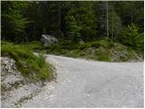 2
2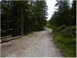 3
3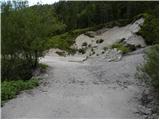 4
4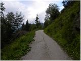 5
5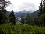 6
6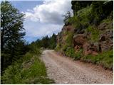 7
7 8
8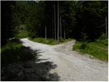 9
9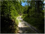 10
10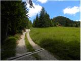 11
11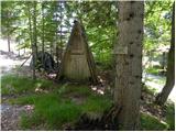 12
12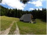 13
13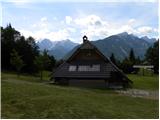 14
14 15
15 16
16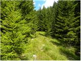 17
17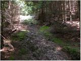 18
18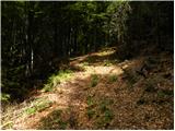 19
19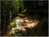 20
20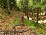 21
21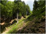 22
22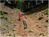 23
23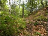 24
24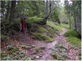 25
25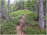 26
26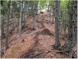 27
27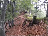 28
28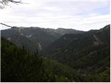 29
29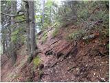 30
30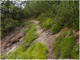 31
31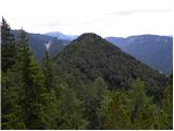 32
32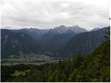 33
33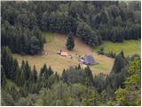 34
34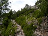 35
35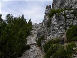 36
36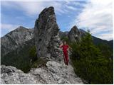 37
37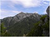 38
38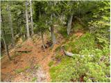 39
39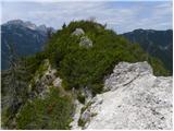 40
40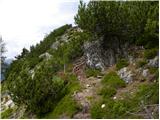 41
41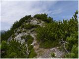 42
42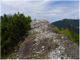 43
43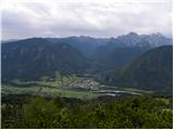 44
44
Discussion about the trail Brinje - Planica (via Vrse)
|
| krošelj15. 04. 2007 |
Lepši razgled kot z Borovja.
Priporočam obisk obeh vrhov (Borovje in
Planica) naenkrat.
Če je pot kopna in suha ni težav, kljub temu pod vrhovoma previdno. 
|
|
|
|
| Guest16. 04. 2007 |
Mislim da so z Borovja prekrasni razgledi ,prelepo romanrično potepanje .  
|
|
|
|
| Guest24. 05. 2007 |
Lepa samotna pot z zelo lepim razgledom. Na eno stran opazuješ planince na Kepi, na drugi strani Julijske Alpe, spodaj pa vidiš avtomobile, ki peljejo po cesti.
|
|
|
|
| Biser gora15. 03. 2008 |
Tudi mene sta Planica in Borovje presenetila z lepim razgledom. Človek, za hrib, ki se nahaja izven glavne verige Karavank, ne pričakuje takega razgleda, a ga vseeno dobi. Imenitno 
|
|
|
|
| grega_p27. 11. 2009 |
Ravno pod vrhom le pazite na korak in na smiselno orientacijo, saj je pot precej razpršena. V vsakem primeru boste prišli na najvišjo točko, vendar ne skozi rušje v megli, kot jaz danes. Od razgleda pa nažalost nič. 
|
|
|
|
| heinz27. 11. 2009 |
Je smiselno s seboj vzeti psa?
Pred časom sva že bila na Borovjah..
Hvala za mnenje!
|
|
|
|
| Tadej27. 11. 2009 |
Na poti je nekaj krajših strmih mest, kjer bi lahko imela nekaj težav. Sicer pa pot ni pretirano težavna.
|
|
|
|
| grega_p27. 11. 2009 |
Res je, vendar pa mislim Heinz (po slikah sodeč), da ima tvoj koker španjel že kar pošten gorniški življenjepis..
|
|
|
|
| Darxta7. 10. 2013 |
Jaz bi pa še izpostavil, da je treba biti malce bolj pozoren pri sestopu nazaj na sedlo, saj če slediš grebenu, končaš na poti proti Kepi čez Kurejeke - tako kot jaz ta vikend  Potrebno si je zapomniti, kje si s stranskega stopil na glavni greben, ter ob povratku slediti tej poti.
|
|
|