Čadovlje pri Tržiču - Kušpergarjev turn (Kušpergarjevi turni)
Starting point: Čadovlje pri Tržiču (580 m)
| Lat/Lon: | 46,3795°N 14,3248°E |
| |
Time of walking: 45 min
Difficulty: partly demanding unmarked way
Altitude difference: 170 m
Altitude difference po putu: 200 m
Map: Karavanke - osrednji del 1:50.000
Recommended equipment (summer): helmet
Recommended equipment (winter): helmet, ice axe, crampons
Views: 2.560
 | 1 person likes this post |
Access to the starting point:
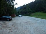
First we drive to Tržič, then we continue our drive towards Dovžana Gorge. When Tržič ends, you will quickly reach the settlement Čadovlje pri Tržiču, and a little further on, a large marked parking area on the left side of the road.
Path description:
From the parking lot, where there are information boards and toilets, continue towards the forest trail, where the path first leads along an asphalt road. While walking on the asphalt, the path takes you past a chapel and then to a road tunnel at the narrowest part of the Dovžanove gorge.
Here, before the tunnel, take a sharp right and continue your ascent along the forest nature trail. A little higher up, you reach cart track and the path leads you past a few more signs on the forest trail. At an unmarked fork in the tracks, continue left (the right track crosses a torrent a little further on), and then, a few 10 steps further on, we get a nice view of Kušpergar's Turns. Here, a worse track branches off to the right (this crossroads is also not marked), after which the ascent continues. Further on, during the ascent, we see some markings, then at the next crossroads we continue to the left (marked). The way ahead leads us under the cliffs, and the track starts to disappear. Continue crosswise to the left, keeping to the foot of the cliffs. Around a small bend, you will then see the partisan technique of the Kokrško detachment, which you will quickly reach.
From the partisan technique, we continue in roughly the same direction, with a less traceable path leading us slightly below the foot of the cliffs, and a little further on, we approach them again. There is a steep ascent, where we see some old markings, but then these end and a fainter path climbs steeply across to the left. When you reach the forest back at a higher level, you can climb a few steps to a small viewpoint, otherwise continue crossing. Cross the steep slopes, following a fainter track, to reach a small saddle where the path splits.
Continue left, steeply uphill (straight ahead, crossing steep slopes, sometimes sheltered, leading to the Kušpergar farm) and start climbing towards one of the Kunšpergar towers. The steepness of the path quickly eases, and the top with a bench and a signing-in box is a 10-step walk along a relatively narrow and exposed ridge.
Description and pictures refer to the situation in 2017 (July).

Pictures:
 1
1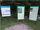 2
2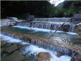 3
3 4
4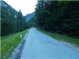 5
5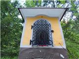 6
6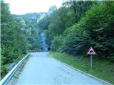 7
7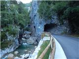 8
8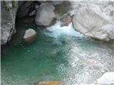 9
9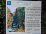 10
10 11
11 12
12 13
13 14
14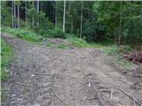 15
15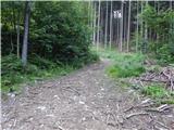 16
16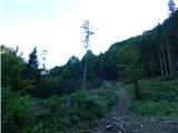 17
17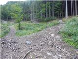 18
18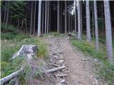 19
19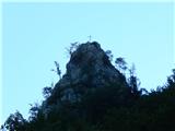 20
20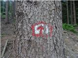 21
21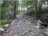 22
22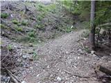 23
23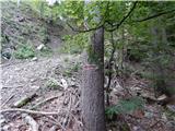 24
24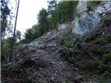 25
25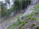 26
26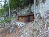 27
27 28
28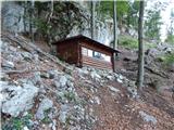 29
29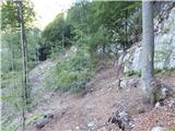 30
30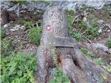 31
31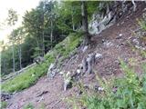 32
32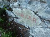 33
33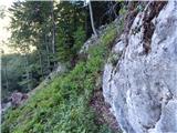 34
34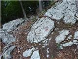 35
35 36
36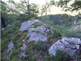 37
37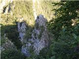 38
38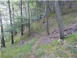 39
39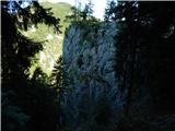 40
40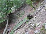 41
41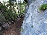 42
42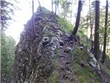 43
43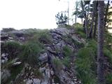 44
44 45
45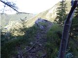 46
46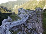 47
47
Discussion about the trail Čadovlje pri Tržiču - Kušpergarjev turn (Kušpergarjevi turni)
|
| Loni9. 08. 2017 |
Po domače kar Piramide, teden nazaj smo z razgledišča na drugi strani reke opazovali plezalce.
|
|
|
|
| pika18. 11. 2023 19:30:41 |
Da malo posodobim objavo. Pot je še vedno sledljiva po gornjem opisu, zadnje prečenje dokaj zahtevno. Na sedelcu levo do vrha, pot naprej nismo raziskovali.
Zanimiv podaljšek krajšega izleta s čudovitim razgledom na sotesko.
|
|
|