Čadovlje pri Tržiču - RIS Dolina (Dovžanova soteska) (harder path)
Starting point: Čadovlje pri Tržiču (580 m)
| Lat/Lon: | 46,3795°N 14,3248°E |
| |
Name of path: harder path
Time of walking: 40 min
Difficulty: difficult marked way
Altitude difference: 140 m
Altitude difference po putu: 185 m
Map: Karavanke - osrednji del 1:50.000
Recommended equipment (summer): helmet
Recommended equipment (winter): helmet, ice axe, crampons
Views: 4.480
 | 2 people like this post |
Access to the starting point:
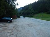
First we drive to Tržič, then we continue our drive towards Dovžana Gorge. When Tržič ends, you will quickly reach the settlement Čadovlje pri Tržiču, and a little further on, a large marked parking area on the left side of the road.
Path description:
From the starting point, follow the main road back to the village, then turn right towards the viewpoint. The way forward leads over the bridge over the Tržiška Bistrica, and then the path turns right into the forest at Jamenšnik's homestead and Jamenšnik's pasture. Through the forest, follow the signs for the scenic or geological trail. The trail continues along slightly steeper slopes and then descends to a marked crossroads.
From the crossroads, continue straight ahead in the direction of the difficult Bencet path and the lookout point (easier path on the right). There is a relatively steep climb up to the lookout point, followed by a gradual descent, first along a fenced path, then along a protected path, where you descend steeply, vertically downwards in one part, with the help of ropes and crampons. When the descent ends, walk for a short time completely along the riverbed of the Tržiška Bistrica, then through the small Bornov tunnel to a marked crossroads where an easier path joins from the right.
Continue straight ahead on the wide path, which offers a nice view of the Kušpergar's Turns. The way forward takes us past a few farmsteads and then, at a small crossroads, we continue along the right-hand road, returning to the asphalt road. When you reach the asphalt road, continue left, and then a few minutes of moderate climbing will take you to a crossroads in the immediate vicinity of RIS Dolina. Go right here and after some 10 steps you will reach RIS Dolina, located in the building of the former branch primary school.
Description and pictures refer to the situation in 2017 (August).

Pictures:
 1
1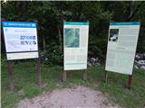 2
2 3
3 4
4 5
5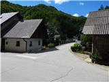 6
6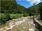 7
7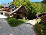 8
8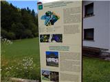 9
9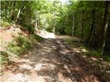 10
10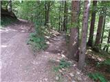 11
11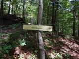 12
12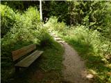 13
13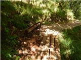 14
14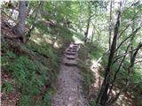 15
15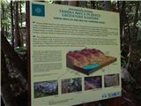 16
16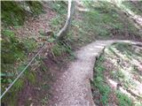 17
17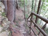 18
18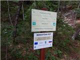 19
19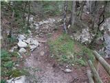 20
20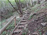 21
21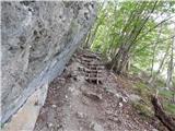 22
22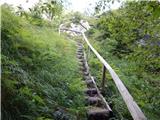 23
23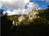 24
24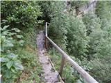 25
25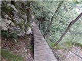 26
26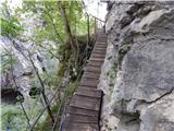 27
27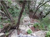 28
28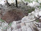 29
29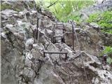 30
30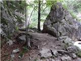 31
31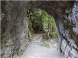 32
32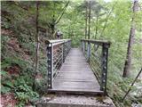 33
33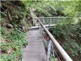 34
34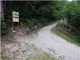 35
35 36
36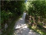 37
37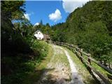 38
38 39
39 40
40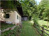 41
41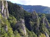 42
42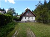 43
43 44
44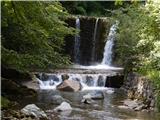 45
45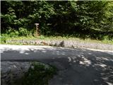 46
46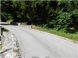 47
47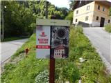 48
48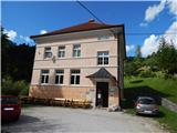 49
49
Discussion about the trail Čadovlje pri Tržiču - RIS Dolina (Dovžanova soteska) (harder path)