Cave del Mole - Koštrunove špice (via Forcella Mose)
Starting point: Cave del Mole (1035 m)
| Lat/Lon: | 46,4023°N 13,5105°E |
| |
Name of path: via Forcella Mose
Time of walking: 4 h
Difficulty: difficult marked way
Altitude difference: 1467 m
Altitude difference po putu: 1500 m
Map: Julijske Alpe - zahodni del 1:50.000
Recommended equipment (summer): helmet
Recommended equipment (winter): helmet, ice axe, crampons
Views: 9.169
 | 3 people like this post |
Access to the starting point:
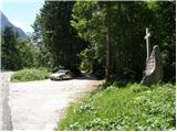
From Kranjska Gora, take the Rateče border crossing to Trbiz/Tarvisio. In Trbiz, turn left towards Bovec and follow the road to the crossroads near Lake Rabeljsko. Here, turn right in the direction of the Nevea Pass/Sella Nevea. Follow this road, which is mostly ascending, to where a macadam road forks off to the right. At the turn-off there is a monument with a cross and a signpost on a tree with the inscription "Corsi". Follow the dirt road for a few more bends, then park in the roadside parking lot shortly before the barrier.
From Bovec, drive to the Predel border crossing, from which you descend to the Italian side. Just after Lake Rabelj, you will reach a crossroads, where you turn left towards Nevejeski Prevala/Sella Nevea. Continue as described above.
Path description:
From the parking lot, continue along the macadam road, which starts to climb in the keys. The road passes through a forest, so there is little view. Only occasionally do we get a view to the south and south-east. The road then turns left and begins to climb steeply northwards. A steep paved road then leads out of the forest to Viška planina (1530m). Near the bottom station of the cargo cableway, you will see signs directing you right into the forest along the 'German path' (sentiero dei tedeschi). At first the path descends a little, then turns right and crosses a few torrents. The path then starts to climb through the forest and later through the dwarf pines. Increasingly, we also get beautiful views, especially towards Viška planina below us and towards Rombon and Črnelská špci. There are also a few cliffs on the way, but the path is not to difficult in any part. More caution is needed, especially when there are snowbanks on the route. Soon we see the Corsi hut ahead and when we come out of dwarf pines we follow the grassy slope to the hut for only a few metres.
From the hut continue northwards, where you start to climb on partly grassy and partly rocky terrain. Soon you reach the first crossroads, where you turn left onto route 627, and right onto route 625, which leads to the Krnic notch (Italian: Forcella del Vallone) and onwards to the Gorizia bivouac. After a short climb, you come to a crossroads where you go left again (direction Jof Fuart), and to the right the 627 trail leads towards the Trbica stubble (Forcella di Riofreddo). The trail turns slightly to the left here and climbs for a while on mostly grassy terrain, and then leads to a crossroads where you leave the trail that leads towards Viš. The path to Viš turns right steeply into the rocks, and we continue straight on, even descending a little at first. We then climb towards Škrbina zadnje Špranje, which we can see in front of us all the time. At the stub where we join the Anita Goitan trail, we also have a wonderful view towards Montage.
From the stub, continue left west along the Anita Goitan trail. The trail becomes more challenging and right from the start the fixed safety gear are helpful. The climb up a relatively narrow path on a grassy slope is followed, and the view becomes more and more beautiful. Along the way, you will also see a number of fortifications dating back to the First World War. The path turns right at a small, undistinguished stub and continues along the ridge. When the marked path starts to descend gently, you will reach an unmarked crossroads. Leave the marked path here and continue right along the ridge. Soon you will see the Koštrunove špice summit with military tunnels and steps leading to the summit. The ridge trail descends steeply at first, followed by a steep climb up the stairs to the military tunnel just below the summit. The path to the top runs slightly to the right of the entrance to the tunnel and the first few metres are a bit of a scramble, followed by a short climb on rocky terrain to the top.

Pictures:
 1
1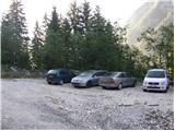 2
2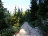 3
3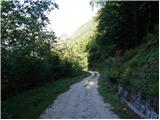 4
4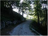 5
5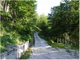 6
6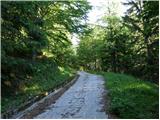 7
7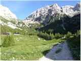 8
8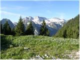 9
9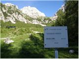 10
10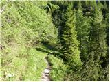 11
11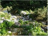 12
12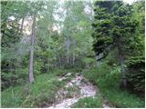 13
13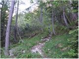 14
14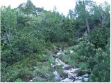 15
15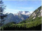 16
16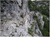 17
17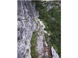 18
18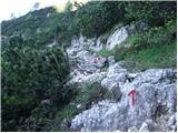 19
19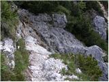 20
20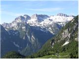 21
21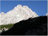 22
22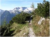 23
23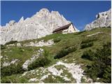 24
24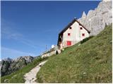 25
25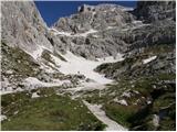 26
26 27
27 28
28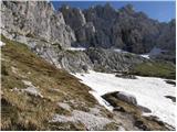 29
29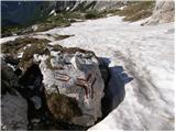 30
30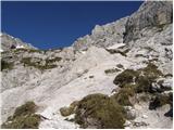 31
31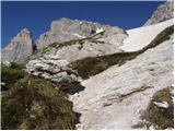 32
32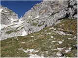 33
33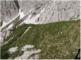 34
34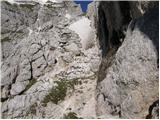 35
35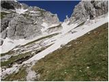 36
36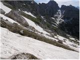 37
37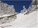 38
38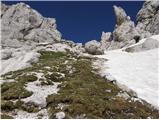 39
39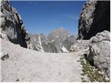 40
40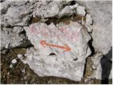 41
41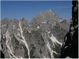 42
42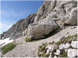 43
43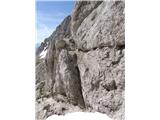 44
44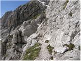 45
45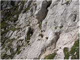 46
46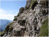 47
47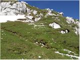 48
48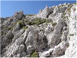 49
49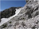 50
50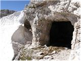 51
51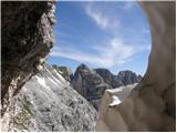 52
52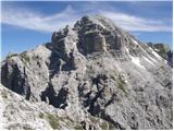 53
53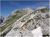 54
54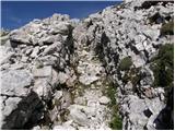 55
55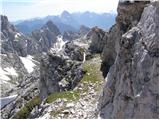 56
56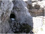 57
57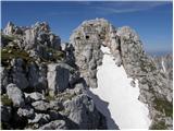 58
58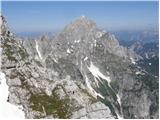 59
59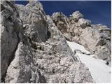 60
60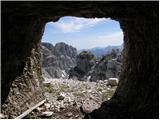 61
61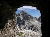 62
62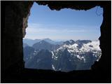 63
63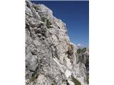 64
64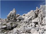 65
65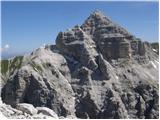 66
66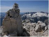 67
67
Discussion about the trail Cave del Mole - Koštrunove špice (via Forcella Mose)
|
| bbugari14. 01. 2018 |
Od Škrbine zadnje Špranje NE nadaljujemo levo proti zahodu (po poti Anita Goitan), temveč desno proti severovzhodu (po poti Anita Goitan). 
|
|
|
|
| mirank4. 01. 2018 |
Nekdo je zamešal levo in desno (v JLA so rekli seno-slama  )
|
|
|
|
| bbugari14. 01. 2018 |
Aaaaaa, zamešal sem Prednjo in Zadnjo Špranjo... 
|
|
|
|
| skiro12327. 09. 2021 09:34:38 |
Pristop po grebenu do sedla pod zadnjim delom stopnic ni najbolj idealen, saj je spust v sedelce/škrbino zelo zahteven. Bolj je smiselno, da se čim dlje držimo poti Anite Goitan in na delu, ki pripelje tik pod zadnje sedlce (5 minut do vrha) kjer pot Anita Goitan zavije navzdol, krenemo naravnost navzgor do sedelca in nato po stopnicah do vrha.
Označba poti "zahtevna označena pot" po moje ni primerna, saj gre za "zelo zahtevno (slabše) označeno pot", zaradi zadnjega dela. Do sedlca ni najbolj enostavno priti, pa tudi plezanje mimo rova 1 minuto pred vrhom ni za vsakogar. V premislek.
|
|
|
|
| J.P.16. 07. 2023 19:39:37 |
Snežišč na tej poti ni. Spust v sedelce je kar zahteven detajl čeprav zelo kratek. Po prvem koraku spusta se usmerimo bolj na levo kjer se lažje spustimo kot, da bi šli direktno čez. Mimo rova je detajl kjer potrebujemo obe roki zato se pridružujem skiroju glede zahtevnosti poti. Grebenska je posebna, zelo razgibana, polna vojaških poti in čudovitih razgledov. Balzam za dušo ob lepem vremenu.
|
|
|