Cave del Mole - Viš/Jof Fuart (Anita Goitan)
Starting point: Cave del Mole (1035 m)
| Lat/Lon: | 46,4023°N 13,5105°E |
| |
Name of path: Anita Goitan
Time of walking: 5 h 30 min
Difficulty: very difficult marked way
Altitude difference: 1631 m
Altitude difference po putu: 1800 m
Map: Julijske Alpe - zahodni del 1:50.000
Recommended equipment (summer): helmet, self belay set
Recommended equipment (winter): helmet, self belay set, ice axe, crampons
Views: 39.942
 | 3 people like this post |
Access to the starting point:
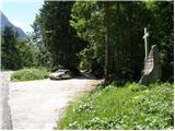
From Kranjska Gora, take the Rateče border crossing to Trbiz/Tarvisio. In Trbiz, turn left towards Bovec and follow the road to the crossroads near Lake Rabeljsko. Here, turn right in the direction of the Nevea Pass/Sella Nevea. Follow this road, which is mostly ascending, to where a macadam road forks off to the right. At the turn-off there is a monument with a cross and a signpost on a tree with the inscription "Corsi". Follow the dirt road for a few more bends, then park in the roadside parking lot shortly before the barrier.
From Bovec, drive to the Predel border crossing, from which you descend to the Italian side. Just after Lake Rabelj, you will reach a crossroads, where you turn left towards Nevejeski Prevala/Sella Nevea. Continue as described above.
Path description:
From the parking lot, continue along the macadam road, which starts to climb in the keys. The road passes through a forest, so there is little view. Only occasionally do we get a view to the south and south-east. The road then turns left and begins to climb steeply northwards. A steep paved road then leads out of the forest to Viška planina (1530m). Near the bottom station of the cargo cableway, you will see signs directing you right into the forest along the 'German path' (sentiero dei tedeschi). At first the path descends a little, then turns right and crosses a few torrents. The path then starts to climb through the woods and later through the dwarf pines. Increasingly, we also get beautiful views, especially towards Viška planina below us and towards Rombon and Črnelská špci. There are also a few cliffs on the way, but the path is not too difficult in any part. More caution is needed, especially when there are snowbanks on the route. Soon we see the Corsi hut ahead and when we come out of dwarf pines we follow the grassy slope to the hut for only a few metres.
From the hut continue northwards, where you start to climb on partly grassy and partly rocky terrain. The trail then leads to a crossroads, where you turn left onto trail 627, and right onto trail 625, which leads towards the Krnicka Stump (Italian: Forcella del Vallone) and onwards towards the Gorizia bivouac. After a short climb, you reach a crossroads again, where you continue right on the 627, and the usual route to Viš leads off to the left. The trail then follows grassy terrain and crosses the slopes below the Little Spit and the Wild Goat in a gentle ascent. When you reach a steep ravine leading directly to the Trbiško Škrbinica, the trail turns slightly right and soon starts to climb steeply upwards to the left. Soon we reach a crossroads where the path to the right branches off towards the Pellarini hut. Here we continue up to the left and the well-marked path leads us to the Trbicka notch (Forcella di Riofreddo) where the Anita Goitan trail begins. There is also a crossroads at the notch, but both paths leading down the ravines are closed and extremely dangerous (marked with a sign "NO!").
From the stump, continue along the south side of Divje koza and start climbing steeply. The path then leads to a ledge that crosses the precipitous slopes to the west. The shelf becomes narrower and narrower as it goes on, and in a short part it even runs out. Here, with the help of a rope, we cross the wall above a deep precipice. Further along the shelf, the path leads us to the western side of Divje Koza and crosses a few short ravines before climbing slightly steeper towards the notch between Malo Spica and Divje Koza.
At the notch where there is a crossroads you can continue to the north side and cross the slope below Malo spica. However, as there is often a snowfield in this area, you can also continue left from the notch on the south side of Mala spica. This route is more difficult, but if there is still snow on the north side it is much safer. If you continue on the south side, you first climb steeply up along the steel cable until you reach a short grassy slope below the top of Mala Spica, where the path turns slightly to the right. There is an almost vertical descent down a narrow couloir with the help of a rope and a couple of steel cables towards the notch between Mala spica and Turno. This is also the most challenging point on the Anita Goitan route.
At the notch where the path from the north side joins from the right, continue left along the south side of Turno. Here you climb steeply a few times, even with the help of a few scrambles, up to a grassy slope where the path becomes less steep. Then cross the slopes again on ledges to the west. Finally, cross the Gams' Mother wall on the precipitous ledges and then join the normal route to Viš.
After a short climb, you reach a crossroads again where you continue right up towards the summit of Viš, with the Anita Goitan route on the left. A moderately steep climb follows on rocky and somewhat cobbly terrain. Just below the summit, the northeastern Gola Nordest trail joins from the right. From here it is just a short climb to a very scenic summit.
You can descend via the normal route to Viš past the Corsi hut or continue on the Anita Goitan route past Koštrunove špice to Škrbina prednje Špranje where the Anita Goitan route ends. From there, descend back to the starting point via Viška planina.

Pictures:
 1
1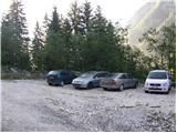 2
2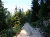 3
3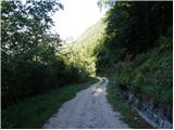 4
4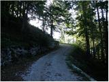 5
5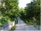 6
6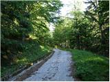 7
7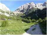 8
8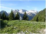 9
9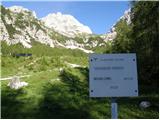 10
10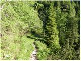 11
11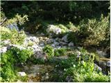 12
12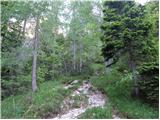 13
13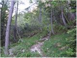 14
14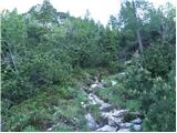 15
15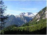 16
16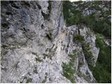 17
17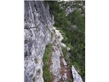 18
18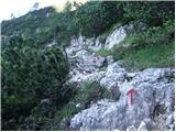 19
19 20
20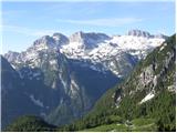 21
21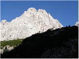 22
22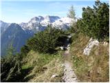 23
23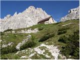 24
24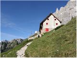 25
25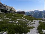 26
26 27
27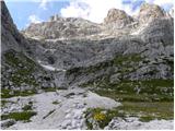 28
28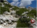 29
29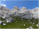 30
30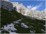 31
31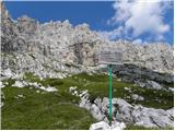 32
32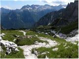 33
33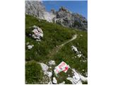 34
34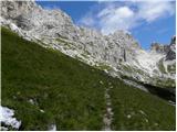 35
35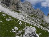 36
36 37
37 38
38 39
39 40
40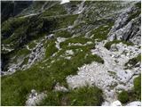 41
41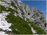 42
42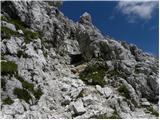 43
43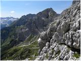 44
44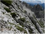 45
45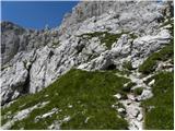 46
46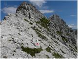 47
47 48
48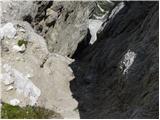 49
49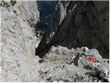 50
50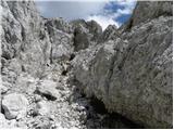 51
51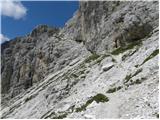 52
52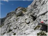 53
53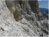 54
54 55
55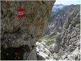 56
56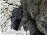 57
57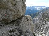 58
58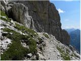 59
59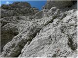 60
60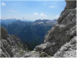 61
61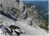 62
62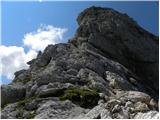 63
63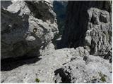 64
64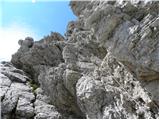 65
65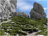 66
66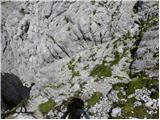 67
67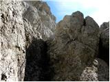 68
68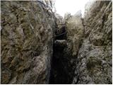 69
69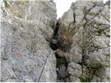 70
70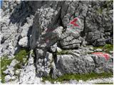 71
71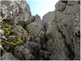 72
72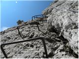 73
73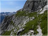 74
74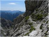 75
75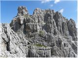 76
76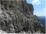 77
77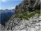 78
78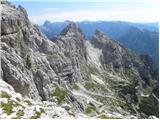 79
79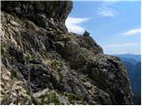 80
80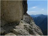 81
81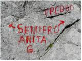 82
82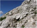 83
83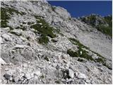 84
84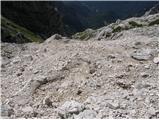 85
85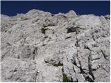 86
86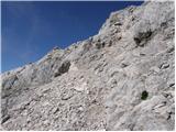 87
87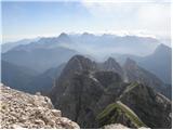 88
88 89
89 90
90 91
91 92
92
Discussion about the trail Cave del Mole - Viš/Jof Fuart (Anita Goitan)
|
| jac22. 08. 2010 |
Me zanima ali za Anito Goitan rabim obvezno komplet za samovarovanje.
|
|
|
|
| Gorazd G22. 08. 2010 |
Vsaj na nekaterih zavarovanih in izpostavljenih prečnicah je uporaba samovarovalnega kompleta zelo priporočjiva.
|
|
|
|
| jac22. 08. 2010 |
Ok. Za katere prečnice si mislil?
|
|
|
|
| Gorazd G22. 08. 2010 |
Ena je pod Divjo kozo, druga pod Malo špico (južna pot), pa pod Gamsovo materjo in še kakšna bi se našla, ampak verjetno kompleta ne boš dajal gor in dol, temveč bo vseskozi tam, kjer mora biti. Seveda gre tudi brez, a tega odgovoren gornik ne počne. Pa na čelado ne pozabi!
|
|
|
|
| MarkoKomar3. 08. 2013 |
Zivijo! Ali ima kdo novejse podatke o razmerah na poti Anite Goitan. V naprej hvala! LP Marko
|
|
|
|
| IgorZlodej3. 08. 2013 |
Novejši podatki, le kaj bi to pomenilo, nauči se vprašati kaj te zanima.
|
|
|
|
| veoniq3. 08. 2013 |
Je smer vzpona primerna tudi za sestop, ali se priporoča pot nadaljevati preko Gamsove matere, Divje koze do Trbiške škrbince in nato dol? So na poti Anita Goitan snežišča?
|
|
|
|
| IgorZlodej3. 08. 2013 |
Nekaterim ustreza v eno, drugim v drugo smer, nekateri pa s tem nimamo težav. Saj pot A. Goitan dejansko poteka po južnih pobočjih Gmasove matere, Male špice, Divje koze, upam, da ti je potek poti poznan, ker sicer ti tudi podatek glede snega ne bo veliko koristil, ga pa ni 
|
|
|
|
| cat enchanter13. 08. 2014 |
Pot je prehodna brez zimske opreme, varovala pa so v brezhibnem stanju. Jih je pa nekoliko manj, kot smo jih vajeni na slovenskih zavarovanih poteh. Najbolj nadležna je začetna in predvsem končna hoja po betonu, ki zajema kar cca 200 višinskih metrov. Drugače pa lepa tura, sploh lep je sentiero tedeschi, kjer se nahaja tudi nekaj potočkov. 
|
|
|
|
| Tikej23. 09. 2015 |
Bil včeraj, jeklenice so obnovljene,skala kar kompaktna....razgledi fantastični je pa dolga in kar naporna tura.
|
|
|
|
| malimiha19. 07. 2016 |
Zdravo, zanima me v kakšnem stanju je omejena pot in ali je še kaj snega. Hvala in lp
|
|
|
|
| zeti19. 07. 2016 |
Bili smo tu v soboto, povsem brez snega, nekaj markacij je malo bolj bledih, tudi kakšna tabla ne bi bila odveč. Sem bil prvič v teh koncih in je res noro lepo  lp
|
|
|
|
| lazo122. 07. 2016 |
Prosim a kdo ve koliko je cena spanja s iskaznico u Rifugio Corsi?
|
|
|
|
| barbara.hribi8. 08. 2016 |
Včaraj bila gor po poti A. Goitan, veliko ljudi je bilo na vrhu, ker je bil lep dan. Označbe za pot na Viš so res bolj skromne. Od koče Corsi res nadaljujemo proti severu, kjer že po nekaj metrih pridemo do prvega razpotja, kjer moramo desno (levo gre pot za Sello neveo in lažja pot na Viš). Pot 627 tam sploh še ni označena, ampak sledimo 625. Kasneje je označeno 625-7 in šele kasneje (kot v opisu zgoraj A.G.)
Vsekakor je pot A. Goitan res zanimiva, je pa bolj za izkušene..
|
|
|
|
| MI&DA22. 08. 2016 |
Verjetno nekoliko pozno, a bo morda koristilo še komu...
Cena nočitve v koči Corsi (skupna soba z 20 ležišči-II etaža)je bila 10,- eur po osebi. Planinske izkaznice niso zahtevali.
Po poti A.G. sva šla 14.08. - čudovit sončen dan.
|
|
|
|
| falcon4. 04. 2017 |
Prekrasen vzpon. Mislim v poletnem času.
|
|
|
|
| miratan1. 07. 2019 |
Pozdravljeni,
a je bil kdo na Višu te dni po Aniti Goitan? Zanimajo me zimske razmere. Sestopili bi po običajni poti. Hvala, lp.
|
|
|
|
| ŠpRo291. 07. 2019 |
Tudi mene to zanima. Hvala.
|
|
|
|
| velkavrh2. 07. 2019 |
V soboto smo šli mimo vstopa v varovano pot -Anita Goitan,ki je nad kočo Corsi, ko smo sestopali s Krniške škrbine . Od spodaj ni bilo videti nobenega snega nikjer. Žal je koča zaprta-oni so vedno vedeli o stanju te poti.Tudi z vrha škrbine snega ni bilo videti. Sneg je samo spodaj -jeziki.
|
|
|
|
| SilvestrO18. 07. 2019 |
Na poti Anite Goitan (16.7.2019) ni nobenega snega, tudi vsa varovala so dobra, skratka bp.
|
|
|
|
| veja513. 04. 2020 |
S katero potjo v Sloveniji se lahko primerja Anita Goitan?
Lep pozdrav. Venčeslav.
|
|
|
|
| JORDAN13. 04. 2020 |
Težko bi v Sloveniji našel primerjavo ampak moja primerjava je sledeča.Po Turskem žlebu na Tursko goro in skozi Kotliče proti Kamniškemu sedlu.
|
|
|
|
| veja513. 04. 2020 |
Jordan, hvala za informacije. Sedaj mi je bolj jasno. Skozi Turski žleb na Tursko goro sem večkrat šel. Pa tudi drugi del poti na Kotliče in naprej čez Boštanjco mi je znan. Zelo lepa in razgibana pot.
Pozdrav. Venčeslav.
|
|
|
|
| miranm11. 09. 2023 20:47:18 |
Pozdravljeni, Rad bi odgovor: Pot Anita Goitan je uradno zaprta, kaj sledi v primeru reševanja na tej poti in ali je s strani italijanske planinske zveze tudi kazen, če si na poti , ki je zaprta (baje cca.700€). Hvala za informacije 
|
|
|
|
| 2061alessio12. 09. 2023 09:39:46 |
kar jaz vem ni nobena kazen ( od koga ta info od 700€ ?), morebitno bi racun postavljen v slucaju reševanja GRS /Soccorso Alpino SAMO ce poteka na uradni zaprti poti; znesek bi bil verjetno nakazan/postavljen na cas potekanja reševanja ( ne vem koliko € na minuto helikopterja in enota reševalcov); drugace reševanje je do sedaj še brezplacno ce si clan CAI-PZS-OAV-DAV itd. v glavno kakor sem že enkrat objavil na eni temi ce je planinska pot uradno zaprta to pomeni da ni vec pot ampak postane alpinisticna smer na lastno odgovornost, v slucaju reševanja na uradni zaprti poti te verjetno GRS/Soccorso Alpino zaracuna stroške tudi ce si clan.
|
|
|
|
| Jakacius12. 09. 2023 12:34:40 |
Ampak informacijo o zaprti poti dobiš le na internetu. Ravno včeraj sem šel na Viš po poti Anita Goitan in tam ni nikjer nobenega obvestila o zaprtju. Mimogrede, varovala so v dobrem stanju, mnoge jeklenice povsem nove. Edino markacije so bolj tako-tako.
|
|
|
|
| 2061alessio13. 09. 2023 19:49:42 |
res je , v glavnem dobiš na www.cai-fvg.it link "sentieri" ali " ferrate" ali na PZS (zaprte poti v FJK ali nekaj podobnega ), ce je pot markirana z številko bi moral PD namestiti pozorne table ( jaz to naredim v slucaju na poti v breme CAI Tarvisio, se ne "dotikam" na poti v breme Trsta, Videm , Gorica ker jih kar imajo nekaj v naši Kanalski dolini), ce je pa "via ferrata" bi morali to namestiti gorski vodniki ( specializirana enota ker ima cež to delo/ popravilo), sedaj ker je koca Corsi zaprta in ni vec oskrbnika ker je pri temu sodeloval situacija je na žal  tista ker si videl.
|
|
|
|
| Zlatiprinašalec1. 07. 2024 10:06:34 |
Pozdravljeni, Ali kdo ve, kako je s snegom po poti? Hvala 
|
|
|
|
| Jernej96810. 07. 2025 22:11:19 |
Po opisani poti sem šel 2.7.2025. Gor sem šel mimo Viške planine, koče Corsi in po panoramski zavarovani poti Anite Goitan. Povratek po normalni poti nazaj do izhodišča pri spomeniku ob začetku ceste na Viško planino. Na poti ni nobenih posebnosti. Malo špico sem obvozil po južni strani. Ko sem po žlebu sestopil v škrbino, sem se sprehodil še nazaj po severnem obvozu in videl, da snega ni več. Kdor bi se torej rad izognil strmemu žlebu, lahko uporabi nezahtevno severno varianto. Od Viške planine do koče Corsi mi je družbo delal prijazen par iz Ljubljane. Mi trije smo bili tudi edini, ki smo bili ta prekrasen dan na vrhu.
|
|
|
|
| LISAC11. 07. 2025 08:23:42 |
Jernej968 koliko casa okvirno cca. ste porabili za vašo pot? Hvala in lep dan
|
|
|
|
| dprapr11. 07. 2025 13:23:21 |
Mala špica je krasen vrh. Se splača tudi povzpeti nanj. Kratko in strmo je.
|
|
|
|
| LISAC12. 07. 2025 11:55:36 |
dprapr je za vzpon na Malo špica nujna uporaba vrvne tehnike ali gre šodrovsko? Hvala.
|
|
|
|
| dprapr12. 07. 2025 12:53:57 |
Gre tudi brez, vendar je priporočljiv en spust z vrha.
|
|
|
|
| LISAC12. 07. 2025 17:26:09 |
dprapr hvala. Raziskujem ker so mi to še nepoznani konci ki obetajo.
|
|
|
|
| turbo12. 07. 2025 17:37:07 |
|
|
|
|
| LISAC12. 07. 2025 18:29:28 |
turbo hvala.  Moram preučiti kako smiselno začeti šodrovsko.
|
|
|
|
| turbo12. 07. 2025 19:53:12 |
|
|
|