Cave del Predil - Šober / Monte Sciober Grande
Starting point: Cave del Predil (900 m)
| Lat/Lon: | 46,4439°N 13,5732°E |
| |
Time of walking: 2 h 45 min
Difficulty: easy marked way
Altitude difference: 945 m
Altitude difference po putu: 960 m
Map: Julijske Alpe - zahodni del 1:50.000
Recommended equipment (summer):
Recommended equipment (winter): ice axe, crampons
Views: 12.446
 | 1 person likes this post |
Access to the starting point:
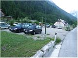
a) Cross the Rateče border crossing into Trbiž / Tarvisio, then continue in the direction of Bovec. At the very beginning of Rabelj / Cave del Predil, you will see signs on the left side of the road pointing in the direction of the "La Portella" saddle. Park a little further on in the gravel parking lot.
b) Via Border crossing Predel, we leave for Itali, heading in the direction of Trbiž / Tarvisio, but only as far as Rabelj / Cave del Predil, where at the end of the settlement we will see a gravel parking area and a few steps further on the start of the trail leading to Vraska Stub / La Portella.
Path description:
From the parking lot, first walk to the route signs and then take the footpath towards Vraška notch / La Portella (route 511). The path first climbs across a meadow and then into the forest, where it ascends alongside a torrential stream. The stream is then slightly to the left, and the path turns slightly to the right, where it crosses a slightly larger clearing. The path climbs steeply and then turns to the right, where it becomes completely flat. Crossing to the right, the path crosses a few ravines before climbing steeper and steeper.
After about an hour and a half's walk from the starting point, the steepness suddenly eases and the path leads us into a slightly flatter world at the foot of the steep cliffs of Vršič (1919 m), Grintavec (1949 m) and Monte Guarda (1865 m). The path from which we also open up some views towards the Viš group (higher up, also to Kanin), then climbs again a little more steeply and, after a further climb, leads us to the Vraško notch, where there is a marked crossroads.
At the saddle, from where we have a wonderful view towards Mangart and Jalovec, we continue to the left (right saddle Čez Stože 15 minutes - view of Loška Steno) along an extremely scenic ridge trail, which continues in a gently sloping ascent, on a slope surrounded by dwarf pines. After about 30 minutes of walking along this ridge path, you will see the main peak in front of you, on which stands the smaller cairn. We are only a short descent from the summit to the saddle between the two peaks and a crossing to the other side of the summit, where we also reach an unmarked crossroads. At the crossroads, turn right, steeply uphill and in a few 10 steps of steep walking reach the summit (slip hazard).
Rabelj - Vraška notch 2:10, Vraška notch - Šober 0:35.
Description and pictures refer to the situation in 2009 (June).

Pictures:
 1
1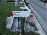 2
2 3
3 4
4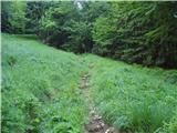 5
5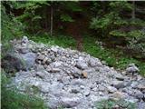 6
6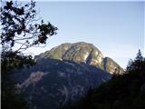 7
7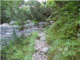 8
8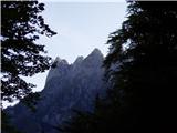 9
9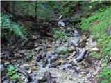 10
10 11
11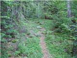 12
12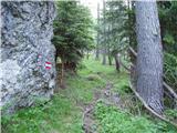 13
13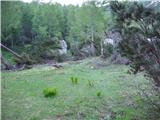 14
14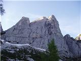 15
15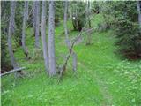 16
16 17
17 18
18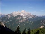 19
19 20
20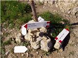 21
21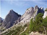 22
22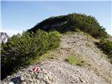 23
23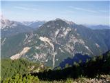 24
24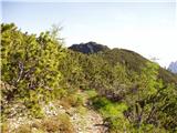 25
25 26
26 27
27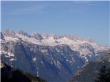 28
28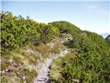 29
29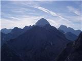 30
30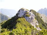 31
31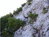 32
32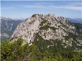 33
33 34
34
Discussion about the trail Cave del Predil - Šober / Monte Sciober Grande