Čepinci (cemetery Čepinci) - Gorički breg
Starting point: Čepinci (cemetery Čepinci) (318 m)
| Lat/Lon: | 46,85703°N 16,21855°E |
| |
Time of walking: 45 min
Difficulty: easy unmarked way
Altitude difference: 44 m
Altitude difference po putu: 75 m
Map: Pomurje 1:40.000
Recommended equipment (summer):
Recommended equipment (winter):
Views: 265
 | 1 person likes this post |
Access to the starting point:
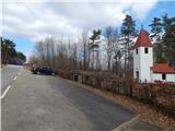
From the road Murska Sobota - Hodoš, in Šalovci, in front of the Ina petrol station, turn left in the direction of Čepinci and Markovci. Continue through Markovce to Čepinci, from where you follow the signs for Hungary. When you reach the parking area next to a small cemetery with a larger chapel next to it, park.
Path description:
From the parking lot, continue climbing along the asphalt road, which quickly climbs to a scenic ridge, and then the path leads past individual houses. There are a few short ascents and descents, and just before the border crossing, go left to the Granicar Museum.
After the museum building, where there are some information boards and memorials, we continue past a few more houses, then the asphalt ends and the path leads us along the Slovenian-Hungarian border, where we see some signs for the dolaj pa bregaj hiking trail. This trail soon turns right to the Hungarian side, and we continue along the dirt road, which leads us past a cross with Jesus and Mary. A little further on from the cross, before the road starts to descend towards the next houses, we take a slight left at cart track, which we follow to the nearby waterworks. At the water tower, cart track ends, and we follow the path through the lane of a forest to the transmitters on Gorički Bank.
The description and pictures refer to the situation in March and April 2021.

Pictures:
 1
1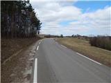 2
2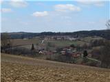 3
3 4
4 5
5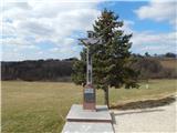 6
6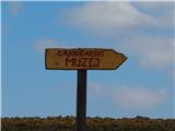 7
7 8
8 9
9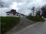 10
10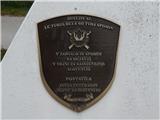 11
11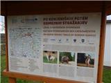 12
12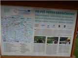 13
13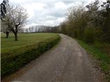 14
14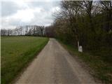 15
15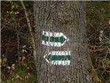 16
16 17
17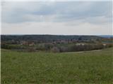 18
18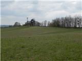 19
19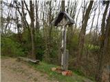 20
20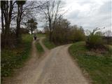 21
21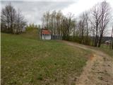 22
22 23
23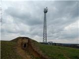 24
24
Discussion about the trail Čepinci (cemetery Čepinci) - Gorički breg