Concentration camp - Loibler Baba/Košutica (hunting path)
Starting point: Concentration camp (1000 m)
| Lat/Lon: | 46,4334°N 14,2707°E |
| |
Name of path: hunting path
Time of walking: 2 h 40 min
Difficulty: easy unmarked way, partly demanding marked way
Altitude difference: 968 m
Altitude difference po putu: 968 m
Map: Karavanke - osrednji del 1:50.000
Recommended equipment (summer):
Recommended equipment (winter): ice axe, crampons
Views: 31.666
 | 4 people like this post |
Access to the starting point:
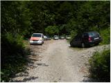
From the motorway Ljubljana - Jesenice, at the Podtabor fork, continue in the direction of Ljubelj and Tržič. Continue along the first expressway and then the regional road in the direction of Ljubelj. At the last left turn on the Slovenian side, which is about 500 m after the concentration camp, turn right onto the macadam road, which you follow for another 100 m to a slightly larger macadam parking lot.
Path description:
From the parking lot, continue along the worse macadam road, which ends after a few minutes at a nearby torrent. Here, the signs for mountain pasture Korošica direct us to the right to a well-maintained old border or hunting trail. The ascent continues in numerous serpentines along a path that climbs relatively steeply through the forest. Higher up, you reach a lookout point, and the trail turns left at this point and then climbs moderately to steeply for some time. Higher up, we reach cart track, and we follow it for only a few 10 m, then leave it at a small crossroads and continue straight ahead. The path immediately returns to the forest, and we continue to climb along a pleasant forest path, which leads us a little further to a small crossroads, where a less well-trodden path branches off to the left, and we continue to the hard right. The path then lays down and leads us out of the forest onto the grazing slopes. The way forward continues to cross the slopes to the right and leads us slightly further to a marked crossroads.
Proceed sharp left (right mountain pasture Korošica 10 minutes) in the direction of Huts na Ljubelju. The path continues for a short time crossing the slopes to the left, then climbs moderately and leads us in a few minutes of further walking to the border ridge, where we join the path from the Cottage na Ljubelju on the left. Continue to the right in the direction Loibler Baba and follow the gradually steeper and more scenic ridge. The relatively steep path crosses a few short steep and, especially in wet conditions, slippery slopes higher up. Higher up, the ridge retreats slightly to the left, where it leads to a short, very steep section. The path then returns to the ridge, where it climbs steeply for a while, then lays down and continues to lead us along the sometimes narrower ridge. Follow this increasingly scenic route, which is also briefly precipitous a few metres below the summit (the length of the precipitous part is about 3 m), all the way to the top, which is reached after a further 10 steps of walking.

Pictures:
 1
1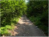 2
2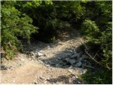 3
3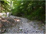 4
4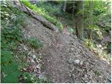 5
5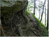 6
6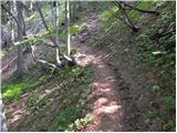 7
7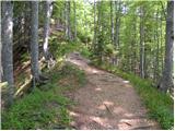 8
8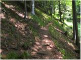 9
9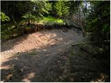 10
10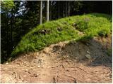 11
11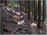 12
12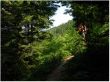 13
13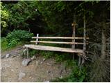 14
14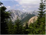 15
15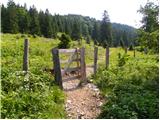 16
16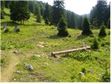 17
17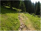 18
18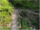 19
19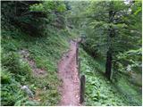 20
20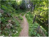 21
21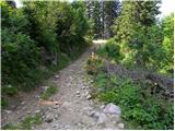 22
22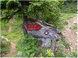 23
23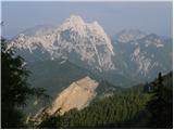 24
24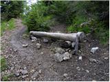 25
25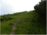 26
26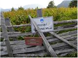 27
27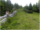 28
28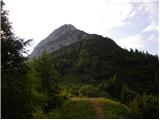 29
29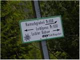 30
30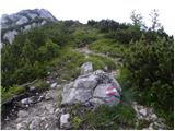 31
31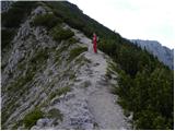 32
32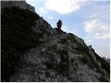 33
33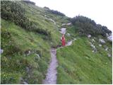 34
34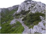 35
35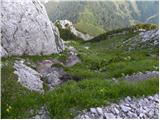 36
36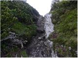 37
37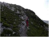 38
38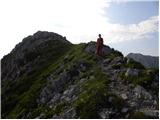 39
39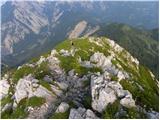 40
40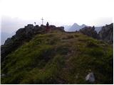 41
41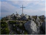 42
42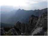 43
43
Discussion about the trail Concentration camp - Loibler Baba/Košutica (hunting path)
|
| Janiel7428. 08. 2012 |
Tole sem dal danes čez, čeprav namenjen na Jezersko, ki je pa bilo zaprto s strani Kranja! Označeno, da je obvoz prek Ljubelja (haha), kar me je pripeljalo do tam. Od tod pa po nasvetu domačina tudi na vrh Košutice. Zelo fajn hribček. Danes so bili razgledi na vse strani, celo do Grossglocknerja.
|
|
|
|
| urbancek28. 08. 2012 |
Tudi lepo. Sicer se pa do Jezerskega čisto normalno pripelješ (edino tam kjer gradijo je semafor, drugače pa bp)... Sem bil danes v tistem koncu. Veš, dostikrat oznake ostanejo, čeprav ne veljajo več... Tud ina promet.si si poglej, ni nobenega obvestila, da bi bila zaprta cesta...  Lp!
|
|
|
|
| Janiel7429. 08. 2012 |
Jaz sem se peljal po cesti iz Kranja proti Jezerskem in je bila zaprta. Popolnoma zaprta. Nevem morda le 8-14. Ni se dalo čez. Tam okrog Zg. Fužin.. Hkrati pa pisalo, da je obvoz prek Ljubelja. Nevem...avti so se obračali.
|
|
|
|
| Laščan25. 06. 2014 |
Poznavalce prosim za podatek, koliko je hoje od odcepa za "Kočo na Ljubelju" (sl.23.), pa do planine Korošica? Hvala in lp!
|
|
|
|
| misace13. 04. 2017 |
V torek 11.4.2017 v čist prijetno skoraj suho dopoldne. Samo tiha gospa s kužkom znana s Palca in Zelenjaka dol ko jaz po lovski gor. Glede na stare gazi v spodnjem delu "gore" kjer snega še za vzorec bolj redko obiskana. Nazaj prot Staremu Ljubelju, zajle kot ponavadi, lestev stoji, greben vedno ožji, avstrijska stran še vedno blatna, koča pa zaprta (nabava ?).
|
|
|
|
| skalar5014. 04. 2017 |
koča tačas zaprta ob ponedeljkih in torkih
|
|
|
|
| Zdenkob19. 07. 2020 |
Pred nekaj dnevi, točneje 14.7., sem šel po tej poti na Košutico. Težav z orientacijo ni bilo nobenih, ker so navodila zelo dobra. Nazaj sem se vračal po grebenu in nato po avstrijskih strani mimo koče na starem Ljubeljskem prelazu. Koča je ob ponedeljkih in torkih še vedno zaprta.
|
|
|
|
| ljubitelj gora19. 07. 2020 |
Kadar grem po tej poti pri sliki 17 zavijem gor proti grebenu. Lahko brezpotje do grebenske pohodne poti.
|
|
|
|
| magroman16. 06. 2023 19:47:32 |
Danes lep izlet po lovski na Košutico.Vrnila sva se po grebenski do koče na Ljubelju.Lepi razgledi, lepa potka po gozdi. 
|
|
|
|
| ljubitelj gora12. 10. 2023 22:43:52 |
Mal nad sliko 6, ko se odpre razgled se pojavi stezica v desno. Pehodil jo danes in je kar zahtevna, ozka in nevarna za zdrs, sploh ko bo listje in mokro. Na poseki izgubil sled, najprej po kolovozu in nato gor v breg, na strm greben, prišel ven 5 min.pred planino.
|
|
|