Starting point: Črešnjice (512 m)
| Lat/Lon: | 46,3261°N 15,3492°E |
| |
Time of walking: 1 h 25 min
Difficulty: easy marked way
Altitude difference: 500 m
Altitude difference po putu: 500 m
Map:
Recommended equipment (summer):
Recommended equipment (winter):
Views: 11.495
 | 2 people like this post |
Access to the starting point:
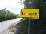
a) From the motorway Ljubljana - Maribor take the exit Celje and follow the road towards Vojnik. From Vojnik continue on the main road towards Slovenske Konjice, but only to the point where the road to the village of Črešnjice branches off to the right. Follow this road until you reach the village. There are a few safe parking places in the centre of the village.
b) From the motorway Maribor - Ljubljana, take the exit Tepanje and follow the road towards Draža vas and Žičy. In Žiča turn right in the direction of Špitalič, Žička kartuzija, Sojek and drive to Črešnjice (municipality Vojnik). In the centre of the village there are a few places for safe parking.
Path description:
From the centre of Črešnjice, follow the asphalt road along the cemetery and the pilgrimage church of Our Lady of the Rosary, where the mountain trail from Frankolovo joins from the left. Continue straight on higher up, where the path follows the grassy cart track for a few metres, which quickly turns into a forest. It alternates with a more or less wide forest path and practically the whole route is uphill, in the safe shelter of the forest. Directly below the summit is a jokey sign warning of the altitude of 1000 metres. A few more steps and the summit with the lookout tower is conquered.
Pictures:
 1
1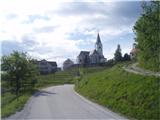 2
2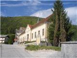 3
3 4
4 5
5 6
6 7
7 8
8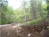 9
9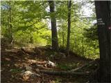 10
10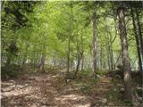 11
11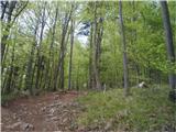 12
12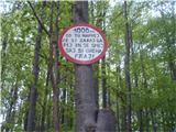 13
13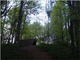 14
14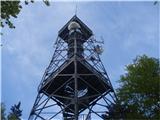 15
15
Discussion about the trail Črešnjice - Stolpnik
|
| jvali30. 07. 2017 |
Večkrat je moj cilj. Idilična vasica Črešnjice, in lepa tura, ki se primerno vzpenja in poskrbi za srčni utrip. Danes me je spremljal le vetrič in vonj ciklam.
|
|
|
|
| grega_p3. 03. 2021 |
Zame najlepši razglednik na Štajerskem!
|
|
|
|
| rinča29. 01. 2024 14:04:39 |
Danes sem šla po tej poti na Stolpnik. Pot in vse naokoli po gozdu je prerito z motorji. Težko si predstavljam, kakšen hrup so to zganjali glede na sledi, ki so ostale na zemlji in snegu. V toplejših mesecih so aktualni še kolesarji. Je treba biti kar previden, da pravi čas odskočiš.
Ne razumem, zakaj se ob pot ne postavi vsaj znakov za preoved vožnje s kolesi in motorji. Dela se namreč škoda na poteh in vznemirja in ogroža se ljudi in živali.
|
|
|