Črni Kal - Zavetišče gorske straže na Jelencih
Starting point: Črni Kal (1103 m)
| Lat/Lon: | 46,1724°N 14,1243°E |
| |
Time of walking: 1 h
Difficulty: easy marked way
Altitude difference: 82 m
Altitude difference po putu: 200 m
Map: Škofjeloško in Cerkljansko hribovje 1:50.000
Recommended equipment (summer):
Recommended equipment (winter):
Views: 6.779
 | 2 people like this post |
Access to the starting point:
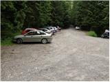
From Škofja Loka, drive towards Gorenjska vas. A little before Gorenjska vasja, after the bus stop, turn right into Poljane. From there, follow the road after the Javorje signs. Turn left here and follow the signs towards Blegoš (well marked). When you reach the crossroads of several roads, you are at Črni Kal, where you park in the parking lot.
Path description:
From the parking lot, turn onto the road, above which is a sign saying "from here on, walk". Just by the sign, the markings for Blegoš direct us to the right onto a wide footpath, which takes a few steps up to a forest road. Follow the road to the right, and we walk along it for some time. After about half an hour's walk, a footpath branches off to the left to Koča na Blegošu, and we continue along the road, following it to a junction of several roads. At this junction we see signs for the Shelter at Jelenk, which direct us to a wide path that starts to descend through the forest. At the point where the path to the right branches off towards the village of Laze, we continue slightly left and then, after a few minutes of descending, we arrive at the Mountain Guard Shelter at Jelenice.
Pictures:
 1
1 2
2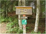 3
3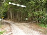 4
4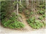 5
5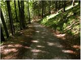 6
6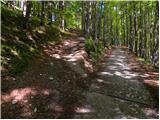 7
7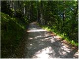 8
8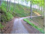 9
9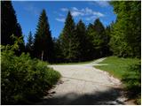 10
10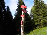 11
11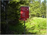 12
12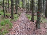 13
13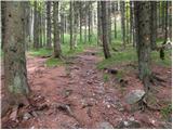 14
14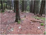 15
15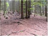 16
16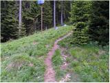 17
17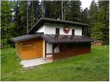 18
18
Discussion about the trail Črni Kal - Zavetišče gorske straže na Jelencih