Crossroad above B station - Prestreljeniško okno
Starting point: Crossroad above B station (1100 m)
| Lat/Lon: | 46,34362°N 13,49851°E |
| |
Time of walking: 4 h 30 min
Difficulty: difficult marked way
Altitude difference: 1291 m
Altitude difference po putu: 1291 m
Map: Julijske Alpe - zahodni del 1:50.000
Recommended equipment (summer): helmet
Recommended equipment (winter): helmet, ice axe, crampons
Views: 3.110
 | 2 people like this post |
Access to the starting point:
Drive into the centre of Bovec, where from the crossroads by the main square continue along the ascending road, which starts to climb past the post office towards the nearby church. Go around the church on the left and then arrive in Kaninsko vas. Bovec then ends, and the road continues westwards for some time. At a small fork, leave the main asphalt road leading to the village Plužna and continue along the road slightly to the right (after the crossroads marked for the Gozdec road). After the nearby farmhouse, the road splits again, and this time we take the road slightly to the left (slightly to the right Zavrzelno and the starting point of the route to Rombon). We continue to climb on the macadam road, which leads us higher up to the B station of the cable car to Kanin. At the B station, the road turns sharp left, and then, after about 1 km of further driving, a cross-country climb brings us to the next crossroads. At this junction, turn sharp right towards mountain pasture Cirque (to the left Gozdec). The road then leads to a junction where the road to stations C and D branches off to the left uphill. Park near this junction.
Path description:
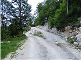
Take the road leading to the C and D stations of the circular cable car. The road leads through the forest in the initial part and then climbs for some time in long switchbacks. From here onwards, the road is relatively wide and runs slightly to the left (west) of the cable car. As we climb up the keys, we occasionally cross an old, much narrower and steeper road, and higher up, we also start to get some nice views of the Soča valley. As you come out of the forest, the path becomes more and more scenic and soon you reach a bench located by the road. The road then gets a little closer to the cable car and soon leads to the C station.
From the C station, continue along the road, which is also part of the ski slope called Skripi. The road then climbs up the right (east) side of the cableway. When you get to the Skripi chairlift, the road becomes a bit worse and starts to climb a bit steeper. There is also a lot of debris on the steeper road as it continues. This road then leads to the D station of the circular cable car.
At Station D, continue slightly left to the north-west. Initially, you walk on relatively level ground, which is still part of the ski slope. The path here leads us past some information boards and then signs direct us to the path towards Visoki Kanin and the Window in Prestreljenik. The trail briefly runs on rocky terrain and then, in a slight ascent, crosses the scree and leads us to a crossroads.
Straight ahead the path leads to Visoki Kanin, and we head right up towards the Window in Prestreljenik. From the crossroads, the path climbs steeply up the scree and becomes slightly more difficult in the last part. The slope becomes steeper and there is a short steep climb with the help of a rope. Here, an even more difficult path (ferrata) joins from the right, and then it is only a few steps walk to the window.
Descend either by the ascent route or by the ferrata, which joins a few metres before the window. If you go down the ferrata, you will also need a self-belaying kit.

Pictures:
 1
1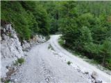 2
2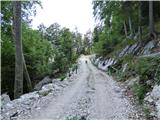 3
3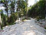 4
4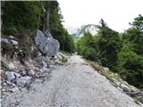 5
5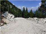 6
6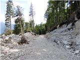 7
7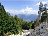 8
8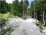 9
9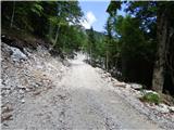 10
10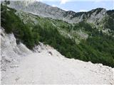 11
11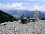 12
12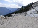 13
13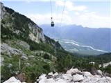 14
14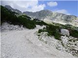 15
15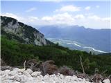 16
16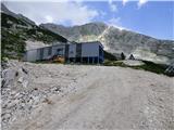 17
17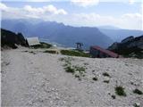 18
18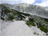 19
19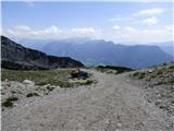 20
20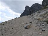 21
21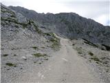 22
22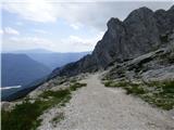 23
23 24
24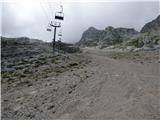 25
25 26
26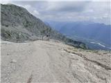 27
27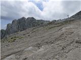 28
28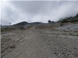 29
29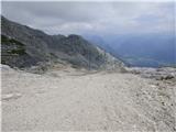 30
30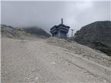 31
31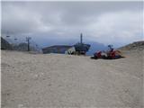 32
32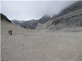 33
33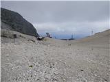 34
34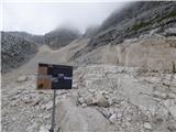 35
35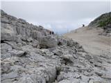 36
36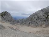 37
37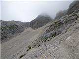 38
38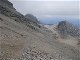 39
39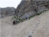 40
40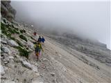 41
41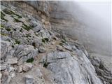 42
42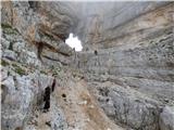 43
43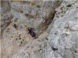 44
44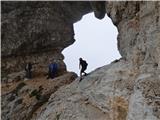 45
45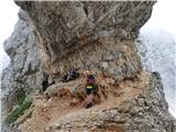 46
46 47
47 48
48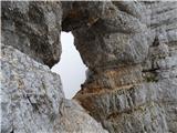 49
49
Discussion about the trail Crossroad above B station - Prestreljeniško okno