Cvetlin - Ravna Gora (on climbing path of Velika Pećina)
Starting point: Cvetlin (255 m)
Name of path: on climbing path of Velika Pećina
Time of walking: 1 h 20 min
Difficulty: very difficult marked way
Altitude difference: 439 m
Altitude difference po putu: 450 m
Map:
Recommended equipment (summer): helmet, self belay set
Recommended equipment (winter): helmet, self belay set, ice axe, crampons
Views: 9.465
 | 1 person likes this post |
Access to the starting point:
If you cross the border between Slovenia and Croatia at the Varnica crossing (near Leskovec), Cvetlin is the first place in Croatia.
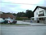
If you arrive in Croatia from somewhere else, take the road to Trakoščan and then continue driving in the direction of Donja Višnjice. Follow the road to Cvetlin, where you park near the Cvetlin cafeteria.
Path description:
From the cafeteria or the nearby school, which is located a little further north, follow the tarmac uphill. The path climbs moderately at first and then gently flattens out. There are a few steep serpentines and the path leads to a parking area under the Švec farm (you can also drive here, but there is only room for 4 vehicles). The path to here is not marked, but it is easy to follow as you are walking on an asphalt road the whole time.
From here, the path to Kotarščak and Pusti duh continues westwards.
At the Švec farm (house numbers 165 and 167), the easier path continues, climbing gently, and we walk down to the nearby walled spring. The path continues along the edge of a cornfield and then enters the forest. Here the path gradually becomes more difficult and leads us into a partly rocky world. Here you climb up rocks surrounded by bushes and at the top of this section you reach the start of the climbing section. The route continues along a protected overhanging rock cliff (there are few steps and wedges during the ascent), above which the route dips slightly and continues along a steep slope which is dangerous for slipping. The path then becomes a little less steep as it passes, and then starts climbing very steeply again. Higher up, the steel cables reappear along the path, and the path turns right above them and leads us to a cross, from where we get a nice view.
From the cross, continue north along the gently sloping path, which joins the easier path, which splits into two parts again a little further on.
Continue slightly to the right (straight ahead to Velika vrata) along the steeper path, which is then laid out in front of the Pusti duh lodge.
From the house, follow the road first downhill and past the crossroads for Kotarščak and the crossroads for Cimerplac. The path then ascends to the Pusti Duh church, from which it is only a minute's walk to the top with the lookout tower.
Filić's house is about 5 minutes' walk along the road from the summit.

Pictures:
 1
1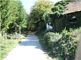 2
2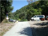 3
3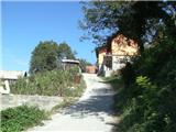 4
4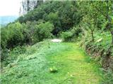 5
5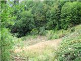 6
6 7
7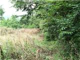 8
8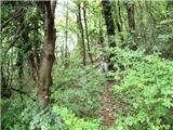 9
9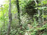 10
10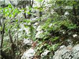 11
11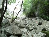 12
12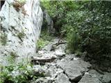 13
13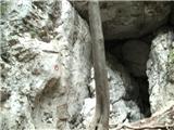 14
14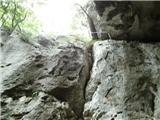 15
15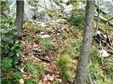 16
16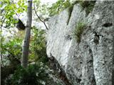 17
17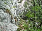 18
18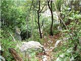 19
19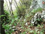 20
20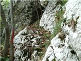 21
21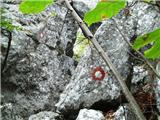 22
22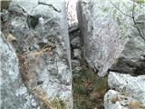 23
23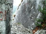 24
24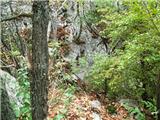 25
25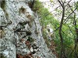 26
26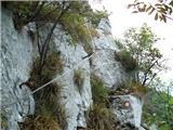 27
27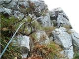 28
28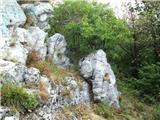 29
29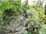 30
30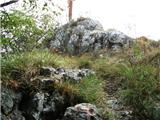 31
31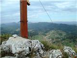 32
32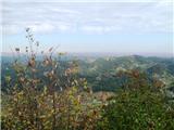 33
33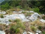 34
34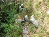 35
35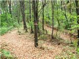 36
36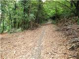 37
37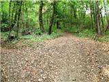 38
38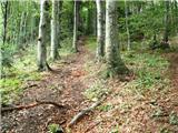 39
39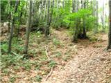 40
40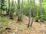 41
41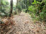 42
42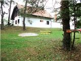 43
43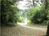 44
44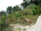 45
45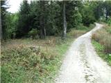 46
46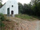 47
47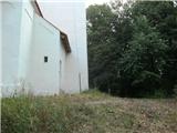 48
48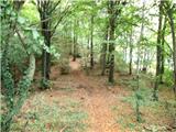 49
49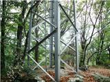 50
50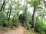 51
51
Discussion about the trail Cvetlin - Ravna Gora (on climbing path of Velika Pećina)
|
| jprim29. 12. 2013 |
V pomoč nama je bil tale opis poti, ampak ob stavku sledite njivi koruze pa sem se nasmejala  , tako da ta del bi bilo treba malo popravit, od stolpa pa sva nadaljevala do drugega doma, pa seveda pozabila, da potzrebujema kune. Pa lep pozdrav 
|
|
|
|
| 3athlonetz18. 11. 2018 |
Opis poti je premalo dosleden. Namreč, pri zadnji hiši mora planinec zaviti levo in ne iti naravnost, kajti potem stopaš po lažji poti. Dobesedno je treba iti čez dvorišče mimo psa na ketni, kateremu se ne moreš izogniti, da ti ne podari odtis tac na hlače. Lastnik prav tako ni najbolj vesel nenapovedanih obiskov. Zato priporočam pot, ki zavije že pred parkiriščem levo. Na koncu ceste nato treba slediti skalam. Vhod v plezalni del poti pa je z desne strani največje skalne gmote na spodnji strani. Ena možnost še je, da v glavnem križišču v Cvetlinu zaviješ levo in nato po nekaj sto metrih nekje na desni strani poiščeš cesto, ki vodi k bližini pl. poti. Klini so pa v dobrem stanju. Lp
|
|
|
|
| Marx5. 11. 2025 17:05:50 |
Parkirišča na sliki 3 (levo z štiri mesta) več ni ker ga je odnesel plaz.
|
|
|