Starting point: D station (2202 m)
| Lat/Lon: | 46,3326°N 13,5384°E |
| |
Time of walking: 2 h 45 min
Difficulty: very difficult marked way
Altitude difference: 369 m
Altitude difference po putu: 600 m
Map: Julijske Alpe - zahodni del 1:50.000
Recommended equipment (summer): helmet
Recommended equipment (winter): helmet, ice axe, crampons
Views: 17.683
 | 3 people like this post |
Access to the starting point:
From Kranjska Gora, drive over the Vršič or Predel pass to Bovec, where you park at the lower station of the circular cable car to Kanin (the cable car is located near the petrol station). Then buy a ticket and take the cable car to station D.
From the Primorska side, first drive into the valley of the Soča River and then pass through Tolmin and Kobarid to Bovec. Continue as described above.
Path description:
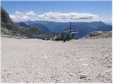
From the D station, head left towards Visoki Kanin, Peter Skalar's home and the window in Prestreljenik (Prestreljenik and Rombon on the right). After a few minutes' walk, the path to Peter Skalar's home on Kanin branches off to the left. Continue straight on the path, which after a short climb leads to the next crossroads. Continue in the route Visoki Kanin (Prestreljenik window on the right). The path climbs slightly steeper here and we are helped by a few small rocks. The path then leads us to an undistinguished saddle below Hudi Vršič (2474m), which is also the crossroads of the route. Continue to the right and the path to the left leads to the home of Peter Skalar. The trail then crosses the slopes on the south side of the border ridge for some time. A slightly steeper climb follows on rocky terrain towards the ridge, where a beautiful view opens up towards Jôf di Montasio and Viš. The path along the slightly exposed ridge then runs westwards and we are helped by some fixed safety gear. There is a short descent with the help of fixed safety gear towards Kaninska škrbina and then a climb back up towards the ridge. Just below the summit, a slightly more difficult route joins from the Italian side on the right. It is then just a short climb up to the summit along a ridge with a view.
From the top of Visoki Kanin, descend a little on a slightly exposed ridge. The ridge then turns slightly to the left and there is a short climb along the ridge to the summit. In the last part of the route some extra caution is needed as the path along the ridge from Visoki Kanin onwards is not guarded.

Pictures:
 1
1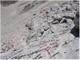 2
2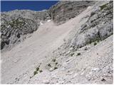 3
3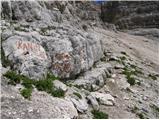 4
4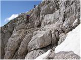 5
5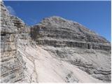 6
6 7
7 8
8 9
9 10
10 11
11 12
12 13
13 14
14 15
15 16
16 17
17 18
18 19
19 20
20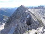 21
21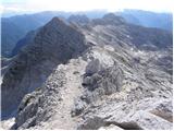 22
22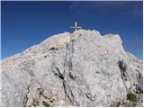 23
23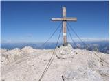 24
24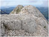 25
25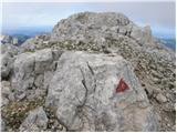 26
26 27
27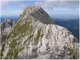 28
28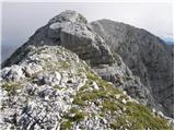 29
29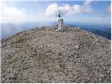 30
30
Discussion about the trail D station - Mali Kanin
|
| katty29. 09. 2011 |
Za vse, ki bi radi v tem vikendu šli na Mali in Veliki Kanin in Rombon  , in bi pri vsakem vzponu uporabili žičnico, sporočam, da v sklopu poletne sezone tokrat žičnica obratuje zadnjič  . Oba dneva, soboto in nedeljo, gre prvič ob 8ih navzgor (potem se to ponavlja na vsako uro), zadnjič pa gre dol ob 16ih. To so najnovejše informacije. Lp
|
|
|
|
| katty29. 09. 2011 |
Ja, sem tud jz dobila od miri-ja link, na katerem tko piše. Pa sem pol kar mail poslala, pa so mi tko odgovoril. Lahko ga posredujem v celoti, če bo kakšna želja.
Za prevoz se bom natančneje mogoče še danes dogovorila, sicer se pa jutr čujemo, kar preko ZS.
|
|
|
|
| Matjaz_655. 08. 2018 |
še nekaj mojih fotk ... sicer še z nadaljevanjem po ta visoki rosojanski poti do škrbine malo naprej od pod kaninom 
|
|
|