Starting point: Debela glava (1200 m)
| Lat/Lon: | 46,2485°N 13,8895°E |
| |
Time of walking: 2 h 25 min
Difficulty: easy pathless terrain
Altitude difference: 767 m
Altitude difference po putu: 800 m
Map: TNP 1:50.000
Recommended equipment (summer):
Recommended equipment (winter): ice axe, crampons
Views: 8.827
 | 1 person likes this post |
Access to the starting point:
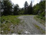
From the Ljubljana - Jesenice motorway, take the Lesce exit and follow the road towards Bled and on to Bohinjska Bistrica and Lake Bohinj. After Laški Rovt you will reach a small crossroads where the road to the left branches off and leads to the starting points of the route to Rodica, mountain pasture Suho, Šijo, Vogel. . . and the Laški Rovt camping area. The dirt road immediately turns into a forest and first climbs past the above-mentioned camping area and then climbs relatively steeply for a few kilometres. After a little less than 6. 5 km of macadam, you will come to a slightly larger crossroads where the road branches off to the right towards mountain pasture Storeča raven (the starting point of the route to Vogel). Continue straight on here and after about 50 m of further driving you will come to a left turn where the starting point of the route towards mountain pasture Suha, Rodica and Šija is located. From here, continue along the road leading to the Kobla ski resort for about 1 km, then at the crossroads continue along the upper right road for about 1800 m, or until you see a small cairn on the right and the start of the hunting trail to mountain pasture Poljana (the start of the trail is about 200 m before the end of the road). You can park a little earlier at a suitable place along the road.
From the main road to the starting point is about 9. 3 km of macadam.
Path description:
From where we parked, we first walk to the smaller cairn, where the hunting trail starts, leading to mountain pasture Poljana. As soon as you leave the road, the path goes into the forest and turns left. The trail continues to climb moderately through the forest, mostly crossing the slopes to the left. Higher up, the path gently descends and then climbs steeply through sparse lane of bushes, from where a fine view opens up to the north and north-east. Above the steep part, the path lays down and turns slightly to the right, where it begins to descend towards where the path joins the path past the hunting lodge. Continue straight on here and in 2 minutes of gentle ascent you reach mountain pasture Poljane.
From the shepherd's hut, continue along the right (western) edge of mountain pasture, but only as far as where a path branches off slightly to the right, going into dwarf pines. The clearly visible path then climbs more steeply and, after about 15 minutes of climbing, leads to a less visible crossroads.
Continue left along a significantly less well-defined track, which is still traceable. From the track, which is getting worse, a passage soon opens up towards a hollow, which ends on the other side with a scree slope. After a short descent through tall grasses surrounded by dwarf pines (the passages are beautiful), we come to the foot of an uninviting scree slope. However, the "path" to Raskovec will lead us along this very scree (it is also possible to go right and then along the base of the small Raskovec, but this "path" is often impassable due to dwarf pines), which is full of large rocks in the lower part, which are not the most stable (caution). The slightly higher rocks are replaced by steep grasses, which quickly turn into a cobbly scree on which to climb. About 50 metres before the direct ascent to the summit is stopped by a wall, a beautiful passage (manic) opens up to the right. Then cross the mostly rocky slope at the foot of the north face of Raskovec. Next, a beautifully passable but slightly steeper passage opens up to an undistinguished saddle between Maly and Veliki Raskovec (if we have chosen the right-hand option in the basin below, the two paths merge here). From the saddle onwards, the route is easier in terms of orientation. From the saddle, continue left along and along the initially indistinct Raskovec ridge, which becomes more visible with each step and a little precipitous higher up. Follow this relatively steep ridge all the way to the summit.
You can descend the south-west ridge, which will lead you in just over 5 minutes to the marked Črna prst - Rodica trail. If you chose to descend via one of these two peaks, you will have to walk along a dirt road to the starting point in the lower part (see map).
Starting point - Poljana 55 minutes, Poljana - Raskovec 1:30.

Pictures:
 1
1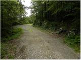 2
2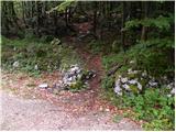 3
3 4
4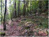 5
5 6
6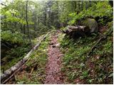 7
7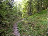 8
8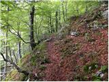 9
9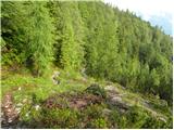 10
10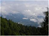 11
11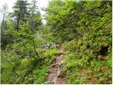 12
12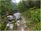 13
13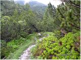 14
14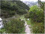 15
15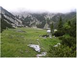 16
16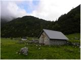 17
17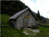 18
18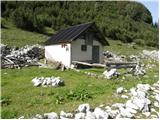 19
19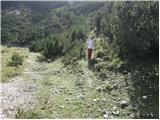 20
20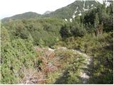 21
21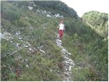 22
22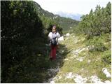 23
23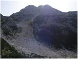 24
24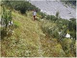 25
25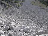 26
26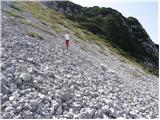 27
27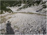 28
28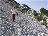 29
29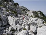 30
30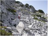 31
31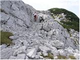 32
32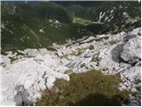 33
33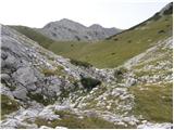 34
34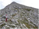 35
35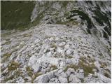 36
36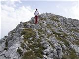 37
37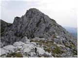 38
38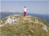 39
39
Discussion about the trail Debela glava - Raskovec
|
| Tadej13. 09. 2008 |
S planine Poljana do vrha Raskovca se, da priti brez, da se enkrat samkrat zaplezaš v rušje. Nad planino je rušje požagano, višje pa se mu izogneš po melišču.
Če nameravate opraviti krožno turo, priporočam opisano pot za sestop, saj je vzpon po melišču kar naporen.
|
|
|