Dekani - Tinjan (on descent route of circular path)
Starting point: Dekani (63 m)
| Lat/Lon: | 45,5492°N 13,8126°E |
| |
Name of path: on descent route of circular path
Time of walking: 1 h 30 min
Difficulty: easy marked way
Altitude difference: 311 m
Altitude difference po putu: 350 m
Map: Primorje in Kras 1:50.000
Recommended equipment (summer):
Recommended equipment (winter):
Views: 3.910
 | 1 person likes this post |
Access to the starting point:
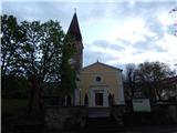
Leave the motorway Ljubljana - Koper at exit Dekani, then follow the signs for the settlement. Drive along the old road for a while and then head towards the centre of Dekani, where you park in the parking lot near the parish church of the Assumption of the Virgin Mary.
Path description:
In the centre of Dekani, near the Mercator shop, you can see the information board of the Dekani - Tinjan - Dekani circular route. Continue past the shop, turning slightly left at the crossroads (right ascending the circular route), then follow the signs at the crossroads, which are in the form of two lines, one blue and the other red. Go up past the vineyard, then take the cart track slightly left, on the path towards the waterfall. After a minute or so of easy walking, you reach the waterfall, which dries up on dry days.
Go around the upper side of the waterfall, then cross the Struga stream over a bridge. After a few minutes of climbing through the forest, we reach a macadam road, which we follow to the left (the right ascent route of the circular route and Goli hrib), and we continue along it to a small pass, where there is a hill and a crossroads.
From the crossroads go left (right hunting shelter Kolombar 1 minute) and quickly arrive in the village of Kolombar. In the middle of the village, on a steel cable, we see the Tinjan markers pointing to the left, and we go right on the return route of the circular path. We continue along the gently sloping cart track, which turns into a forest after an orchard, and when cart track turns to the right, we go straight on the marked path. A little further on, the path passes into a more compacted forest, where it gradually starts to descend crosswise, crossing several torrents in the process. The descent soon ends and we reach cart track, which we start to climb. At a few crossroads we follow the signs, and we climb up the lookout, from where we get a nice view towards Črnji Kalo and the surrounding hills. Cart track widens into a macadam road higher up, which leads us past a sign where the Church of St Magdalene used to stand, and the village of Škofljica nearby. A few steps further on, the road from Ospa joins us from the right, and we continue straight ahead. At the next crossroads, go straight ahead again, passing a waterworks on the right. A slightly steeper climb up the cart track then reaches a viewpoint from which we have a beautiful view towards Ospu, Osapska Stena, Socerb and the surrounding hills. Here the trail turns left and passes a small cemetery to climb to the top of Tinjana.
Dekani - waterfall 15 minutes, waterfall - hunting shelter 25 minutes, hunting shelter - Tinjan 50 minutes.
Description and pictures refer to the situation in 2018 (April).

We can extend the trip to the following destinations: Ankaran
Pictures:
 1
1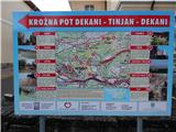 2
2 3
3 4
4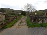 5
5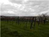 6
6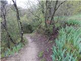 7
7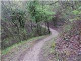 8
8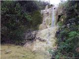 9
9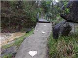 10
10 11
11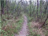 12
12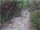 13
13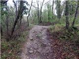 14
14 15
15 16
16 17
17 18
18 19
19 20
20 21
21 22
22 23
23 24
24 25
25 26
26 27
27 28
28 29
29 30
30 31
31 32
32 33
33 34
34 35
35 36
36 37
37 38
38 39
39 40
40 41
41 42
42
Discussion about the trail Dekani - Tinjan (on descent route of circular path)