Deutcher Peter / Dajčpeter - Ferlacher Horn / Grlovec
Starting point: Deutcher Peter / Dajčpeter (700 m)
| Lat/Lon: | 46,4785°N 14,2559°E |
| |
Time of walking: 3 h
Difficulty: easy marked way
Altitude difference: 1140 m
Altitude difference po putu: 1140 m
Map: Karavanke - osrednji del 1:50.000
Recommended equipment (summer):
Recommended equipment (winter): ice axe, crampons
Views: 11.199
 | 1 person likes this post |
Access to the starting point:
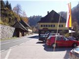
Cross the Ljubelj border crossing and drive towards Klagenfurt. After the first tunnel, after 100m, you will see the Dajčpeter / Deutcher Peter guesthouse on your left and a large parking lot behind it, where you park.
Path description:
From the parking lot follow the road up to the signs for Ferlacher Horn / Ferlacher Horn. Continue along cart track, which climbs up along the stream. The cart track then becomes a footpath which climbs along the stream for a while before turning left and climbing steeply. The path, which climbs quite steeply, crosses a forest road at a slightly higher level. Continue along the path, which is slightly less visible in places but well marked. The path then leads to a forest road, which you follow for a few minutes to a point where a footpath branches off up to the left. The way forward initially climbs steeply, then the steepness eases and the path leads us to an overgrown meadow behind which we step onto the road.
Continue left and then immediately right at the crossroads. Continue along the path, which climbs steeply parallel to the road all the way to the crossroads. Shortly after the crossroads, the path crosses a clearing and then starts climbing steeply again. The path then leads us past the memorial to a lookout point with a view to the north. The path then climbs through a coniferous forest and after a while returns to the ridge. The path then passes under the ridge, which is rarely climbed. Care is needed where the path approaches the ridge to avoid slipping into the abyss. The forest then becomes thinner and thinner and soon you see the cross at the top. A few minutes of scenic walking on the unforested top slope of the mountain follow.

Pictures:
 1
1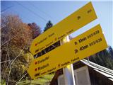 2
2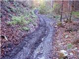 3
3 4
4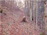 5
5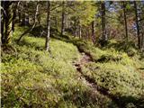 6
6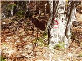 7
7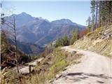 8
8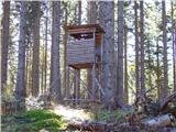 9
9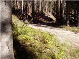 10
10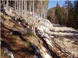 11
11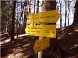 12
12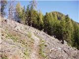 13
13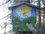 14
14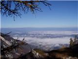 15
15 16
16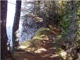 17
17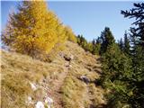 18
18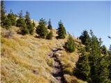 19
19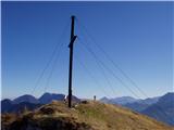 20
20
Discussion about the trail Deutcher Peter / Dajčpeter - Ferlacher Horn / Grlovec
|
| klm11. 12. 2010 |
Po karavanških vrhovih je več tovrstnih spominskih obeležij. Kolegi jagri so res pravi prijatelji: skupaj se ga napijejo, medtem se eden od njih na skrivaj spravi na gostiteljevo ženo, ta (gostitelj) pa ga v zahvalo na skupniski jagi ustreli. Kasneje pa se je opravičeval, da ga je zamenjal s srnjadjo. Zgodba je aktualna v bistvu "deja vu" 
|
|
|
|
| darh23. 08. 2012 |
V nedeljo smo se lotili vzpona na Grlovec po tej poti s krajšim ovinkom prek zanimivega sedla Eselsattel. Z orientacijo večinoma nismo imeli težav, le pri križišču gozdnih cest, ki je omenjeno v besedilu (sliki 10 in 11), se sprva nismo povsem znašli. Tik ob križišču je namreč pot cesto zgolj prečkala in se nato najprej nadaljevala pod cesto, nato nekaj časa po njej, sredi poseke pa je končno zavila tudi nad njo. Podrobnejši opis naše poti s slikami najdete tule.
|
|
|
|
| VanSims23. 08. 2012 |
Pri Deutcher Petru dober pir!
|
|
|
|
| klavdipo12. 10. 2013 |
Sem opazila, da obstaja žig, ali se ga dobi na vrhu ali v gostišču? Hvala in lep pozdrav!
|
|
|
|
| Tadej12. 10. 2013 |
Lani je bil žig na vrhu, če je v gostišču tudi pa ne vem.
|
|
|
|
| Fulcrum8. 05. 2015 |
Danes sem prehodil opisano pot (št. 603) od Dojčpetra do vrha Grlovca v dobrih dveh urah in pol. Pot je odlično označena in z orientacijo nisem imel nobenih težav. Najbolj pazljiv je treba biti na začetku, saj pot poteka po cesti, ki vodi na Ljubelj in je precej prometna. Ko se pot približa grebenu ni nobene nevarnosti za zdrs, seveda če ostanete na poti. Obeležja ob poti (slika št. 14) nisem zasledil.
|
|
|