Deutsch Haseldorf - Königsberg
Starting point: Deutsch Haseldorf (342 m)
| Lat/Lon: | 46,78105°N 15,97581°E |
| |
Time of walking: 30 min
Difficulty: easy marked way
Altitude difference: 120 m
Altitude difference po putu: 125 m
Map:
Recommended equipment (summer):
Recommended equipment (winter): ice axe, crampons
Views: 103
 | 2 people like this post |
Access to the starting point:
We drive to Gornja Radgona and then cross the River Mura into Austria. In Radgona / Bad Radkersburg, take the exit from the roundabout in the centre of the town in the direction of Ig / Aigen and St. Anna pri Ig / St. Anna a. Aigen. Drive towards these places to Deutsch Haseldorf, where you park in a suitable parking space in the middle of the village.
Path description:
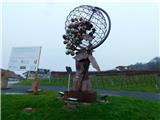
From the starting point and the crossroads in the middle of the village, follow the road westwards, along which you will see some yellow mountain direction signs. Deutsch Haseldorf ends quickly and we continue along the pavement to the end of the village, where there is a small crossroads. Continue straight on, passing a private playground, and when the main road turns left, cross it carefully and take the marked cart track, with signs for the Basaltspalte alongside. Cart track quickly leads into the forest and splits into two parts.
Continue on the slightly left cart track (slightly right to reach the neighbouring village), which starts to climb more visibly, and follow the signs at a few small crossroads. Higher up, you reach a minor forest road that starts in the village of Pichla b. Radkersburg.
Follow this road for some time through the forest, and when you reach a marked crossroads, turn right towards the signs for Grenzlanddenkmal and reach the summit within a minute's walk.
Description and pictures refer to December 2022.

Pictures:
 1
1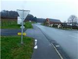 2
2 3
3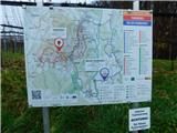 4
4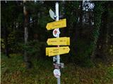 5
5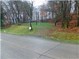 6
6 7
7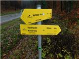 8
8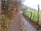 9
9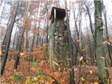 10
10 11
11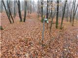 12
12 13
13 14
14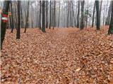 15
15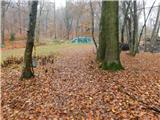 16
16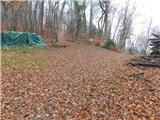 17
17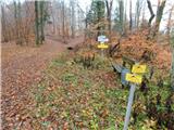 18
18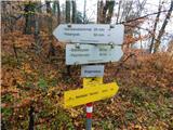 19
19 20
20 21
21 22
22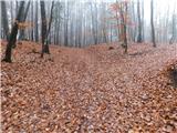 23
23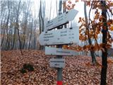 24
24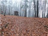 25
25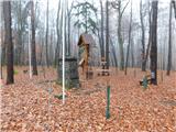 26
26
Discussion about the trail Deutsch Haseldorf - Königsberg