Dolena (Stojana vas) - Janški vrh
Starting point: Dolena (Stojana vas) (240 m)
| Lat/Lon: | 46,34012°N 15,80939°E |
| |
Time of walking: 50 min
Difficulty: easy marked way
Altitude difference: 177 m
Altitude difference po putu: 200 m
Map:
Recommended equipment (summer):
Recommended equipment (winter): ice axe, crampons
Views: 272
 | 1 person likes this post |
Access to the starting point:
a) Exit the Štajerska motorway at exit Slovenska Bistrica - north, then follow the road to Ptuj. Just before you reach the Podravje motorway, turn right towards Kidričevo, and continue straight through the village to Apache, where you exit the roundabout at the "left" exit towards Ptuj. Approximately 100 m further on, turn right onto a side road, which quickly leads to the centre of Apache, where you turn left at the crossroads by the chapel. Continue towards Lancova vas and before the sign for the beginning of the municipality of Videm, turn right and drive to the village of Trnovec, where you will go towards Bolečki vas. There is a short climb and then a descent to the Dravinja valley, where you cross the road Majšperk - Videm pri Ptuju. We cross the Dravinja and arrive in the village Dolena, and we drive to the hamlet of Stojana vas, where we see the red mountain direction signs, where the route described above begins. There are no parking places at the starting point, so we park at a suitable place nearby.
b) Leave the Podravje motorway at exit Lancova vas, then continue through the settlement Tržec, and from there follow the signs for Majšperk. Continue through Jurovci, Popovci and Zgornja Pristava to the crossroads where you turn left towards Dolena. Cross the Dravinja and you will arrive at Dolena, and we will drive to the hamlet of Stojana vas, where you will see the red mountain direction signs, where the route described above begins. There are no parking places at the starting point, so we park at a suitable place nearby.
Path description:
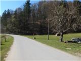
From the starting point, follow the path towards Janske Vrh, where it turns into a forest after a meadow and climbs cart track. Follow the cart track cross-country climb, where you follow the markings, and higher up, the markings direct you slightly to the left and you climb over a wooded slope to an indistinct ridge, where the forest thins out and the path turns to the right. The ascent passes some abandoned houses, and when you reach the tarmac road you pass some cottages. From this part of the road, we can see a nice view towards the Church of St John on Janski Vrch, and at a nearby crossroads, we go straight ahead and start climbing again. At the next crossroads, take a slight right and climb up the view slope, and when you reach the ridge at the marked crossroads, take a sharp right and climb up past a few more houses to St John's Church.
Description and pictures refer to April 2022.
Pictures:
 1
1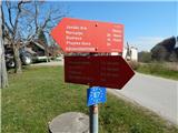 2
2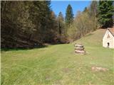 3
3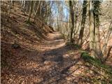 4
4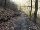 5
5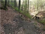 6
6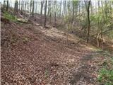 7
7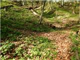 8
8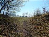 9
9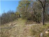 10
10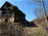 11
11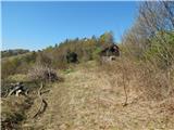 12
12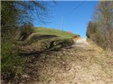 13
13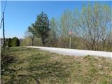 14
14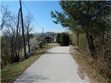 15
15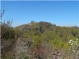 16
16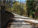 17
17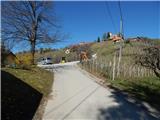 18
18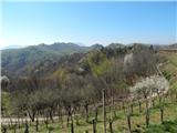 19
19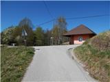 20
20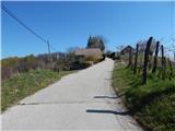 21
21 22
22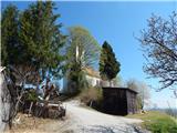 23
23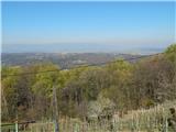 24
24
Discussion about the trail Dolena (Stojana vas) - Janški vrh