Dolenja vas (Kosmulj) - Ključ
Starting point: Dolenja vas (Kosmulj) (400 m)
| Lat/Lon: | 46,0579°N 14,3629°E |
| |
Time of walking: 1 h 10 min
Difficulty: easy marked way
Altitude difference: 223 m
Altitude difference po putu: 265 m
Map: Ljubljana - okolica 1:50.000
Recommended equipment (summer):
Recommended equipment (winter):
Views: 5.588
 | 1 person likes this post |
Access to the starting point:
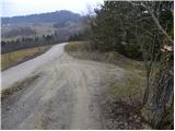
From the motorway Ljubljana - Koper take the exit Brezovica, then continue in the route Dobrova near Ljubljana. From the roundabout at Dobrova, continue towards Polhovo Gradec, and follow the road to Dvor, where just before the end of the village, turn left towards Dolenje vas. Continue across the Gradaščica River, and after a few 100 m you will reach the houses in Dolenja vas. Here we continue along the "main" road (the road to Babna Gora branches off to the left), which climbs steeply, crosses lane of forest, then lays down and leads us across a larger meadow to the homestead of Kosmulj. Here we will come to a small crossroads at which we can see the mountain direction signs for Ključ. Park in a suitable place at the crossroads, and if there is no space, ask the locals for a suitable parking space.
Path description:
From the starting point, follow the macadam road towards Ključ. The road ends behind the houses and we continue along the marked cart track, which goes into the forest. The cart track climbs for only a short time, as the markings then direct us slightly to the right onto a marked footpath, which initially climbs parallel to the track. The ascent continues along the marked footpath, which takes about 10 minutes of further walking to reach the summit.
From Bezenica continue on the marked path which begins to descend gently to the right. After a short descent, join the old cart track, which continues first ascending steeply and then moderately. Next, because of the many forks, follow the markings carefully, and after a few minutes' further walking the path leads to a small ridge, at the top of which you come to the grave of a young partisan who was killed.
The way forward descends slightly for a short time, then leads us to a crossroads where the path splits into two parts. You can continue along the left-hand path, or along the right-hand path, which is slightly steeper. After 10 minutes, the two paths merge and lead us to a marked crossroads below the top of the Key.
Continue straight ahead (to the left Dom na Ključu) and after 10 minutes of further walking, which is always through the forest, you will arrive at the top of Ključ.

Pictures:
 1
1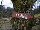 2
2 3
3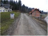 4
4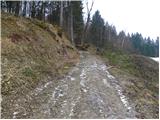 5
5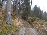 6
6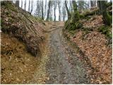 7
7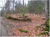 8
8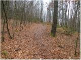 9
9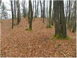 10
10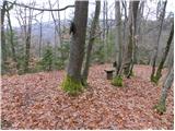 11
11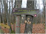 12
12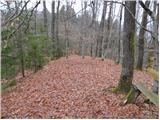 13
13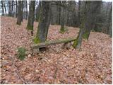 14
14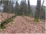 15
15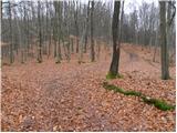 16
16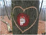 17
17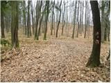 18
18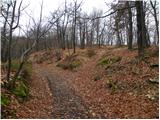 19
19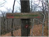 20
20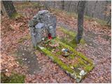 21
21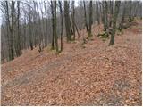 22
22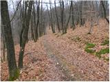 23
23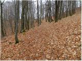 24
24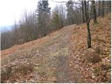 25
25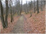 26
26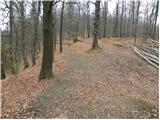 27
27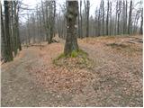 28
28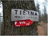 29
29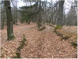 30
30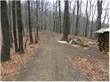 31
31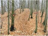 32
32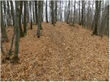 33
33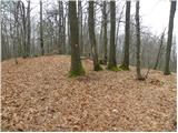 34
34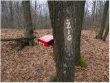 35
35
Discussion about the trail Dolenja vas (Kosmulj) - Ključ