Dolina Radeljskega potoka (Razdevšek) - Sveti Primož above Muta
Starting point: Dolina Radeljskega potoka (Razdevšek) (411 m)
| Lat/Lon: | 46,6287°N 15,2076°E |
| |
Time of walking: 2 h 20 min
Difficulty: easy marked way
Altitude difference: 395 m
Altitude difference po putu: 420 m
Map: Pohorje - izletniška karta 1:50.000
Recommended equipment (summer):
Recommended equipment (winter): ice axe, crampons
Views: 277
 | 1 person likes this post |
Access to the starting point:
From the road Dravograd - Maribor, in Radlje ob Dravi, from the crossroads by the Lidl shop, go towards the centre of the settlement and the Radeljski Pass. After the crossroads, go past the Hofer shop and then turn left towards Sv. Trije Kralji. A little further on, go right again in the direction of Sv. Treh Kraljev, then follow Samostanska Street, and at the crossroads keep to the road along the Radeljski brook. A little higher up, we reach a crossroads with a number of direction signs, and we take the road to the right in the direction of the hunting lodge. Continue along the valley of the Radlje Stream, and we follow it to the Razdevšek homestead. Park a little away from the homestead in a suitable place along the road.
Path description:
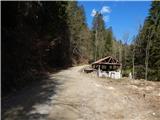
From the Razdevšek homestead, continue along the forest road, which ascends quickly to the place where the signs for St Primoža nad Muta and Podlipje direct us left, to cart track, which begins to climb along the torrential stream. Initially, the traverse climbs parallel to the stream, where you have to cross lane of fallen trees (March 2019), but higher up the steep cart track turns right, lays down and leaves the gorge. A few minutes' scramble ensues, and at a small fork take the upper left cart track, which quickly leads out of the woods onto a larger hayfield. Cross the hayfield and climb to an interesting hunting observation post, from which you will climb along the edge of the forest to Hunting cottage Radlje ob Dravi, which offers a fine view towards Pohorje.
Go around the hunting lodge on the left, then leave the road on the marked cart track, which ascends crosswise to the left. For some time we climb easily through the forest, then the forest ends and the path leads us to the Navšnik homestead, where we join the better-beaten path from Radelj ob Dravi.
Continue sharp right and start climbing cross-country on the macadam road, turning left at the nearby crossroads. There is a cross-country climb to the left, and while crossing, the road to the homestead Pušej branches off to the left. Continue straight ahead and when you reach the ridge, you will reach a marked crossroads.
Continue straight on towards Bricnik (sharp right Sv. Trije Kralji), at first with good views, then the road goes gently into the forest. When you reach the marked crossroads after the ecological island, follow the road slightly left towards St. Primož (Dobnik homestead on the left, Bricnik slightly left, St. Anton straight ahead, the right path ends in the forest) and continue along the road crossing the slopes to the left. At the crossroads follow the marked road, and after a while the path, which occasionally offers a fine view of Pohorje, leads to the Onuk - Glavar Shelter.
Continue straight on (right Bricnik) and continue walking along the road, which after about 10 minutes leads to the next crossroads, where you go straight on again (left down Muta, right up Bricnik).
After a few minutes of walking along a scenic asphalt road, you will arrive at the Church of St Primož and Felicijan.
Starting point - hunting lodge 0:40, hunting lodge - Zavetišče Onuk - Glavar 1:25, Zavetišče Onuk - Glavar - St. Primož 0:15.
Description and images refer to the situation in 2019 (March) and 2018 (October).

Pictures:
 1
1 2
2 3
3 4
4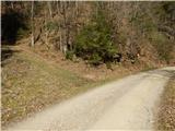 5
5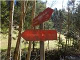 6
6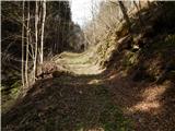 7
7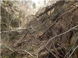 8
8 9
9 10
10 11
11 12
12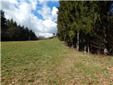 13
13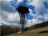 14
14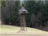 15
15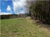 16
16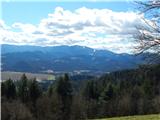 17
17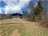 18
18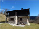 19
19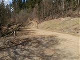 20
20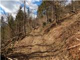 21
21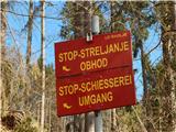 22
22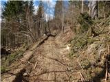 23
23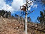 24
24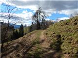 25
25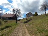 26
26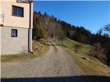 27
27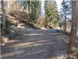 28
28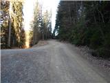 29
29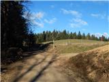 30
30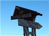 31
31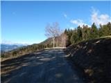 32
32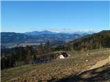 33
33 34
34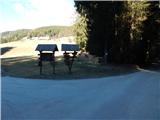 35
35 36
36 37
37 38
38 39
39 40
40 41
41 42
42 43
43 44
44 45
45 46
46 47
47 48
48 49
49 50
50 51
51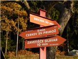 52
52 53
53 54
54 55
55 56
56 57
57 58
58 59
59
Discussion about the trail Dolina Radeljskega potoka (Razdevšek) - Sveti Primož above Muta