Dolinza Alm / Planina Dolnica - Sagranberg/Monte Sagran
Starting point: Dolinza Alm / Planina Dolnica (1400 m)
| Lat/Lon: | 46,5741°N 13,4818°E |
| |
Time of walking: 1 h 30 min
Difficulty: easy unmarked way
Altitude difference: 531 m
Altitude difference po putu: 531 m
Map: Tabacco 19
Recommended equipment (summer):
Recommended equipment (winter): ice axe, crampons
Views: 4.419
 | 1 person likes this post |
Access to the starting point:
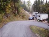
Access from Trbiz/Tarvisio: From Trbiz/Tarvisio, take the old road into Austria. After the village of Vrata/Thorl, the road turns left and crosses the railway with an underpass. Follow the road to the village of Bistrica/Feistritz, where in the centre of the village, at a sharp right turn, the road branches off towards the village of Blače/Vorderberg (continue straight ahead at the crossroads). At Blače/Vorderberg turn left towards the church and follow the road until the next crossroads where you turn right in the route mountain pasture Donice/Dolinza Alm. The asphalted road then takes you past the hut on the Kočiška planina/Koutschitz Alm and leads you just a little further on to the next crossroads, where you continue left along the road below. The road then descends, crosses a stream and then starts climbing again. Park in one of the small car parks on the roadside in front of the No All Traffic sign.
Access from Villach: Take the old road to Trbiz/Tarvisio and after the village of Megvarje/Maglern turn right under the railway. Follow the above description.
Access from Slovenia: Cross the Rateče border crossing to Trbiz/Tarvisio, then follow the above description.
Path description:
From the parking lot, continue along the road along which you parked. After about 15 minutes of walking, the path leads us to a mountain hut at mountain pasture. Continue along the road, which turns right just a few metres before the hut (in the route of arrival) and crosses a short lane of forest and a small torrential spring. Cross mountain pasture to a fork in the path, where you continue sharp left to a house that stands alone at this part of mountain pasture. The path then ascends gently in a transverse ascent and leads to a pasture fence. Cross the fence and continue through the wods. After a few minutes of walking through the wods, the path leads back to the forest road, but only cross it. After a few steps, the path crosses the road again and continues through the forest, where it crosses a small well. The path then crosses a grassy clearing and then goes back into the forest, where it climbs more steeply for a short time. It crosses a torrent and then slowly moves out of the forest onto wide grassy slopes surrounded by larch trees. The path ahead is a little harder to follow and turns to the left. There is a barely noticeable climb up to a grassy ridge where the path makes a sharp right turn. At this point, leave the marked path and climb over the grass to a broad ridge. Continue left on the path as it climbs towards the summit between the larch trees. After a few minutes, the moderately steep path leads to the main ridge of the mountain, where you turn right and, in a few steps, reach the summit.

Pictures:
 1
1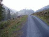 2
2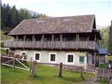 3
3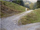 4
4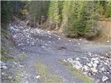 5
5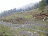 6
6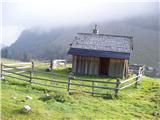 7
7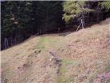 8
8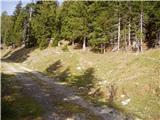 9
9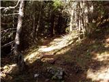 10
10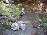 11
11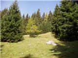 12
12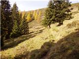 13
13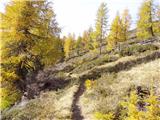 14
14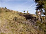 15
15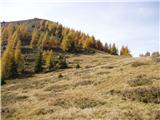 16
16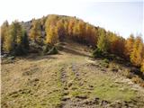 17
17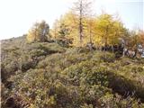 18
18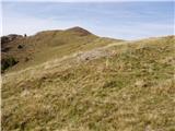 19
19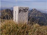 20
20
Discussion about the trail Dolinza Alm / Planina Dolnica - Sagranberg/Monte Sagran