Dom na Lazni - Poldanovec
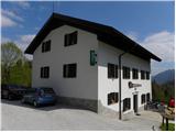
Starting point: Dom na Lazni (951 m)
| Lat/Lon: | 46,0387°N 13,8057°E |
| |
Time of walking: 2 h
Difficulty: partly demanding marked way
Altitude difference: 348 m
Altitude difference po putu: 450 m
Map: Goriška - izletniška karta 1:50.000
Recommended equipment (summer): helmet
Recommended equipment (winter): helmet, ice axe, crampons
Views: 14.833
 | 1 person likes this post |
Access to the starting point:
First, drive to Lokve (to get here from Nova Gorica, Most na Soči or Predmeja), then continue driving towards the village of Lazna. From Lokeve, the road first climbs and then begins to descend towards Lazna. Park in a suitable space next to the Dom na Lazna.
Path description:
From Dom na Lazni, follow the asphalted road down towards the PN00 monument. After a short descent, the road splits into two parts, and we continue along the right-hand road, which ends at the nearby homestead. Continue through the yard of the house, then cross the meadow where the path leads into the woods. From here on, the waymarks begin, and we follow the waymarked path in a moderate ascent to the nearby macadam road, which we follow to the right. The road continues to climb crosswise over a scenic slope, then turns right, where it descends gradually. There is a few minutes' ascent, then signs direct you left onto a less well-trodden, but well-traced path that begins to climb moderately through the forest. Higher up, the track turns slightly to the right and joins a forest road, which is reached just as it ends.
From the end of the road, walk across a grassy plain where an unmarked path branches off to the left to Stanov rob, which is a 5-minute walk away, and we continue straight ahead to a small pass.
From the pass, continue straight ahead on a path that begins to descend across steep slopes. The leaf-filled track is soon laid, and then, with a few short ascents and descents, it leads us over slopes that are sometimes very steep and dangerous for slipping. As the path passes under steep cliffs, there is also a high risk of falling rocks, and in several places you may also encounter a snowbank in late spring. Occasionally, the trail is also quite scenic (it opens up views of the Trebus valley, the Cerkljansko hills, the Lower Bohinj Mountains and, with a beautiful view, Triglav), which runs along the north-eastern slopes of Veliki Češevnik, then climbs moderately and, after a few minutes of further walking, leads us into a less steep world, where the slope abruptly lays down. A slight descent follows and the path leads us to a nearby road, which we follow in the same direction as we have been walking. After walking along the road for some 10 m, a sign on a tree "Poldanovec" directs us to the left to a marked footpath, which we quickly climb to a nearby ridge. Walk along the ridge for a few minutes and then join the stone cart track, which leads cross-climbing towards Poldanovec. A little below the summit, the cart track ends and we continue left and after 3 minutes of further walking we reach the summit, which is exposed and precipitous.

Pictures:
 1
1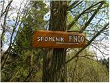 2
2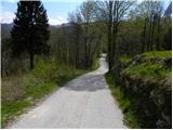 3
3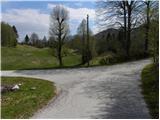 4
4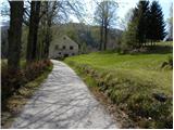 5
5 6
6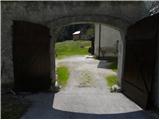 7
7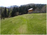 8
8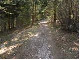 9
9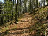 10
10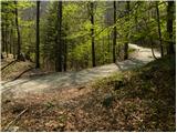 11
11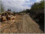 12
12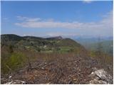 13
13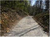 14
14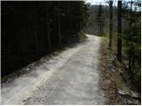 15
15 16
16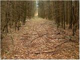 17
17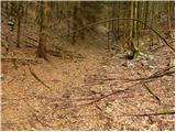 18
18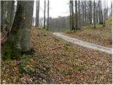 19
19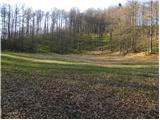 20
20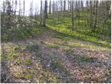 21
21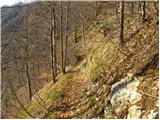 22
22 23
23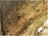 24
24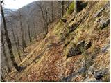 25
25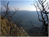 26
26 27
27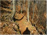 28
28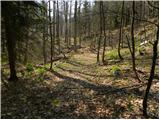 29
29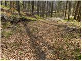 30
30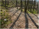 31
31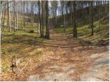 32
32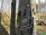 33
33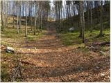 34
34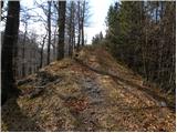 35
35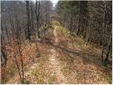 36
36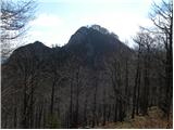 37
37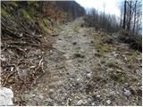 38
38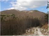 39
39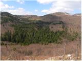 40
40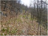 41
41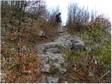 42
42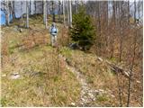 43
43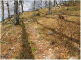 44
44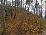 45
45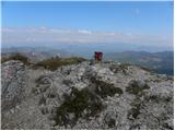 46
46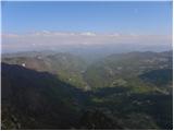 47
47
Discussion about the trail Dom na Lazni - Poldanovec
|
| Bam30. 06. 2015 |
Zakaj je opisana pot označena kot delno zahtevna?
|
|
|