Dom na Osankarici - Tiho jezero (Falski ribnik)
Starting point: Dom na Osankarici (1193 m)
| Lat/Lon: | 46,449°N 15,4196°E |
| |
Time of walking: 1 h 50 min
Difficulty: easy marked way
Altitude difference: 73 m
Altitude difference po putu: 399 m
Map: Pohorje 1:50.000
Recommended equipment (summer):
Recommended equipment (winter):
Views: 14.809
 | 1 person likes this post |
Access to the starting point:
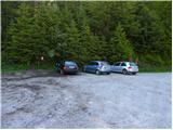
From the motorway, take the exit Slovenska Bistrica-south to the centre Slovenska Bistrica, where you turn left at the traffic lights by the church. Go straight ahead to the roundabout by the Impol factory, at the roundabout take the third exit - signpost Veliko Tinje. Follow signs for Veliko Tinje or Tri kralji, at Treh kralji continue along the road to Dom na Osankarici.
Path description:
In front of the lodge on the right, where there is also an information board, head slightly uphill through the forest. Then the path begins to descend gently to the monument commemorating the last battle of the Pohorje Battalion (*20 min). Just after the central monument, the path turns right - marked for Pesek and Ribniška koča - and in a few minutes leads to cart track, after which the signpost for Tri nařebje directs you left down to the stream (*10 min). Cross the stream and begin a gentle climb, passing the summit on the right, followed by a descent again to the next stream (*25 min). We go around the Jodl peak from the west side and arrive at Tri Žeblje, a typical world of Pohorje fraternities on a slight level (*20 min). The path from Šumik joins us from the right side, we continue straight on to the next crossroads of mountain paths (*15 min). A signpost for Klopni vrh directs us right down a path across the wetland, then we briefly rise again over the eastern slope of Kurje hill and then descend through a large clearing to a forest road that ends a little further on. A sign on a tree for Tiho jezero directs you left along the road, after a good 50 m turn left and in a few minutes the path leads you to the edge of Tiho jezero (*20 min).
Note: The description is taken from the description of the route "Dom na Osankarici - Koča na Klopnem vrhu (via Treh nařebjev)", where additional pictorial material is also available.

Pictures:
 1
1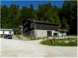 2
2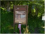 3
3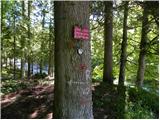 4
4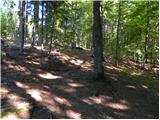 5
5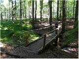 6
6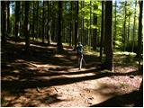 7
7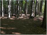 8
8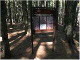 9
9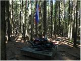 10
10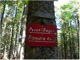 11
11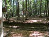 12
12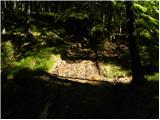 13
13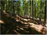 14
14 15
15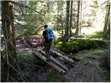 16
16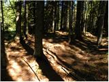 17
17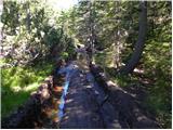 18
18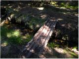 19
19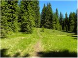 20
20 21
21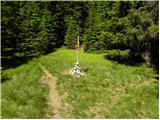 22
22 23
23 24
24 25
25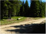 26
26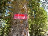 27
27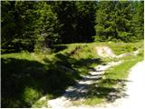 28
28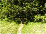 29
29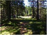 30
30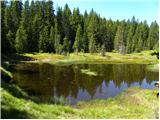 31
31
Discussion about the trail Dom na Osankarici - Tiho jezero (Falski ribnik)
|
| artur18. 11. 2010 |
Smo šli s kolegi pozimi iz Osankarice na Klopni vrh, pa smo se skoraj zgubili. Pozimi je lahko problem, če je več ko pol metra snega, ker se ne vidijo marakcije.
Toliuko iz moje izkušnje!
|
|
|