Dom Planincev v Logarski dolini - Rjavčki vrh (Planinšca)
Starting point: Dom Planincev v Logarski dolini (837 m)
| Lat/Lon: | 46,3836°N 14,6216°E |
| |
Time of walking: 2 h 55 min
Difficulty: partly demanding marked way, easy pathless terrain
Altitude difference: 1061 m
Altitude difference po putu: 1061 m
Map: Kamniške in Savinjske Alpe 1:50.000
Recommended equipment (summer): helmet
Recommended equipment (winter): helmet, ice axe, crampons
Views: 1.910
 | 2 people like this post |
Access to the starting point:
a) Via the Volovljek Pass (Kranjski Rak) or from Mozirje, drive to Luce, and from there continue towards the Logar Valley. A few kilometres after Solčava, you will reach a crossroads where you turn left towards Logarska dolina (toll). Continue along Logarska dolina, and we will drive to Dom planincev v Logarska dolina. Park in the parking lot on the left side of the road. The parking lot on the right side is for the guests of the Planincev Dom Planincev.
b) Via Border crossing Jezerski vrh (Jezerski vrh) drive into Austria, and there in the Bela Valley / Vellach turn right in the direction of Border crossing Pavličev vrh (Pavličevo sedlo) / Paulitchsattel. When you reach the Slovenian side, first descend to the valley, then turn right at the junction a little before Solčava towards the Logar valley (toll). Continue along the Logar valley, and we drive to the Home of the Mountaineers in the Logar valley. Park in the parking lot on the left side of the road. The parking lot on the right side is for the guests of the Planincev Dom Planincev.
c) We drive to Črna na Koroškem (to get here from Raven na Koroškem or from Šoštanj via the Spodnje Sleme pass) and then continue driving to Luče. Initially still an asphalt road, higher up it becomes macadam and leads to a crossroads of several roads at Spodnje Sleme Pass. Continue along the main road, which begins to descend crosswise towards the settlement of Podolševa. At the crossroads below, turn sharp left (Solčava Panorama Road to the right - you can also reach the starting point by this road, in which case join the road over the Pavličev Vrh Pass) in the direction of Solčava. When you reach Solčava, continue right at the junction where you join the main road. A few kilometres after Solčava you will come to a crossroads where you turn left in the direction of the Logarska dolina (toll). Continue along the Logarska dolina, and we will drive to the Home of the Mountaineers in the Logarska dolina. Park in the parking lot on the left side of the road. The parking lot on the right side is for the guests of the Planincev Dom Planincev.
Path description:
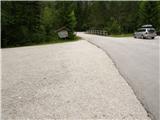
From the parking lot, continue along the main road, which leads us over the bridge, and after the bridge, signs for Klemenča Cave direct us left to the forest road, which we continue along the path, which leads us in a few minutes to the crossroads, where we continue to the right in the direction of Klemenča Cave. From the crossroads, walk along the road for only a short time, as you then continue left along the initially wide and gently sloping mountain path. A few steps further on, the path passes onto a slope and gradually starts to climb steeper and steeper. The steep path continues up the steep slope, then crosses a torrential ravine and, a little further on, a small stream. After the stream, the path becomes even steeper and climbs up a very steep slope, which is particularly dangerous for slipping in wet conditions. After less than an hour's walk from the starting point, you reach a bench by a small well and just a little further on to a crossroads, where you join the trail from the starting point at the crossroads.
Here the steepness eases, and we continue slightly up the wide path that soon leads us out of the forest. From here it is just a short climb up a grassy slope to Koča na Klemenči jami below Ojstrica.
From the hut at which the crossroads is marked, continue straight on in the direction of Ojstrica (Strelovec and Krofička on the left) along the path, which goes into the forest after a few 10 metres. Through the forest we climb moderately to steeply, and the path leads us higher under the rocky cliffs. The path soon gives way to the cliffs to the right and leads us to a crossroads, where we continue straight towards Škarje, and to the left the very difficult Kopinškova path to Ojstrica branches off. The path continues to cross the slopes to the west, then emerges from the forest and turns slightly to the left. Here it starts to climb a little steeper along the scree, then turns right and climbs towards the saddle below Rjavčki vrh (1898 m).
At the saddle (or even a little earlier), leave the marked path and continue ascending to the right on easier, pathless ground. After about 10 minutes of climbing on a partly grassy slope, we reach the dwarf pines vegetated Rjavčki vrh, which offers a beautiful view of the mountains above the Logarska dolina valley.
Starting point - Koča na Klemenči jami 1:05, Koča na Klemenči jami - Rjavčki vrh 1:50.

Pictures:
 1
1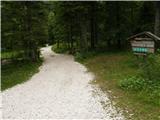 2
2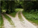 3
3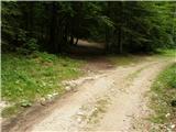 4
4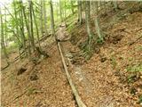 5
5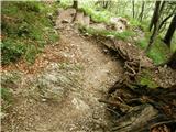 6
6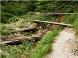 7
7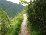 8
8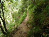 9
9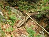 10
10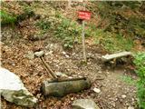 11
11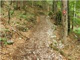 12
12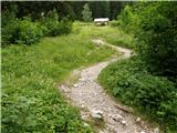 13
13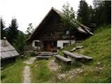 14
14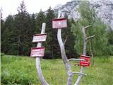 15
15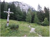 16
16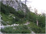 17
17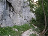 18
18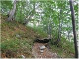 19
19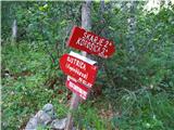 20
20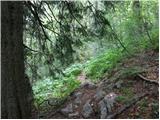 21
21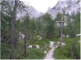 22
22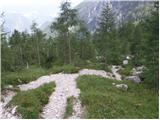 23
23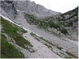 24
24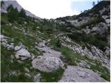 25
25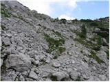 26
26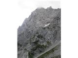 27
27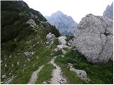 28
28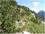 29
29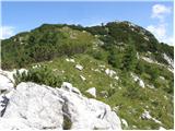 30
30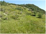 31
31 32
32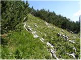 33
33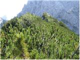 34
34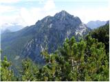 35
35
Discussion about the trail Dom Planincev v Logarski dolini - Rjavčki vrh (Planinšca)
|
| skiro1231. 08. 2024 18:24:30 |
Vrh je dovolj obljuden, da se je že izklesala precej lahko sledljiva stezica. Mogoče je kak del še malo manj viden, a hitro spet ugledaš stezo. Mogoče bi zadnji del lahko označili kot "neoznačena steza" namesto "(lahko) brezpotje".
Sicer pa lep razglednik, vreden obiska, sploh za tiste, ki ne bi delali več kot 1100 vm ali jim je pot na Krofičko preveč zahtevna.
|
|
|