Dom pod Storžičem - Mali Javornik
Starting point: Dom pod Storžičem (1123 m)
| Lat/Lon: | 46,3586°N 14,3906°E |
| |
Time of walking: 2 h 30 min
Difficulty: easy pathless terrain
Altitude difference: 562 m
Altitude difference po putu: 700 m
Map: Karavanke - osrednji del 1:50.000
Recommended equipment (summer):
Recommended equipment (winter): ice axe, crampons
Views: 5.953
 | 2 people like this post |
Access to the starting point:
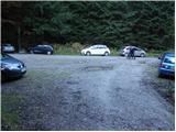
From the Ljubljana - Jesenice motorway, take the Ljubelj exit. Follow the road through Tržič and on the other side of Tržič turn right towards Lom pod Storžičem. Follow this road towards the signs for the Lodge under Storžič. Park in the parking lot a few metres in front of the mountain hut.
Path description:
From the parking lot in front of the lodge, take the road to the left in the direction of Javorniško sedlo and mountain pasture Javornik. After about 20 minutes' walk, the road turns into cart track. Here you can continue along the marked footpath, which is rather abandoned, or you can follow the cart track. I recommend walking along the cart track as it is easier to navigate, even though it is not marked. Follow Cart track, which climbs quite steeply, through the forest to Javorniško sedlo, where there is a crossroads.
Continue slightly left in the direction of Stegovnik and Močnikovo sedlo (sharp left mountain pasture Javornik, right Storžič) following cart track, which crosses the eastern slopes of the Ženiklovec headland. After a few minutes of cross-country walking, cart track joins another slightly wider cart track, where it continues straight (slightly right) moderately downhill. Cart track quickly flattens out and the path leads past a collapsing water trough to a grassy slope where you come across an orientation loop. At the signpost, which is often knocked down, leave cart track and continue left up the grassy slope. After a short climb, the path turns right and continues through a spruce forest. After a few minutes of further walking, the mountain path widens into cart track, which is then followed for some time (the markings in this part are sparse and faded). After a while, cart track changes again into a footpath, which leads us through the forest to the southern slopes of the Malá Javorník Mountains. At the point where the marked path leading to Mačensko sedlo becomes less visible (i. e. at the point where a nice passage opens up to our left), we leave the marked path and continue our ascent up the easier pathless world to the left (in the fog, orientation is very difficult).
Continue climbing along the undistinguished and only slightly overgrown ridge of Malá Javornik. After about 15 minutes of walking on pathless ground, you reach a little-visited and scenic summit.

Pictures:
 1
1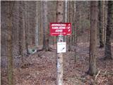 2
2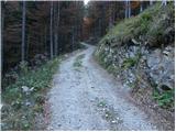 3
3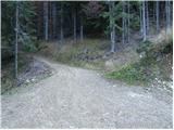 4
4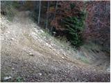 5
5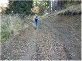 6
6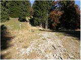 7
7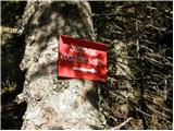 8
8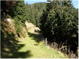 9
9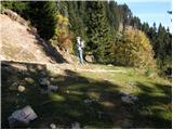 10
10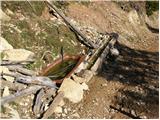 11
11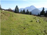 12
12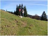 13
13 14
14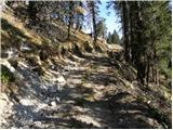 15
15 16
16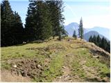 17
17 18
18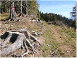 19
19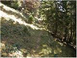 20
20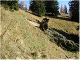 21
21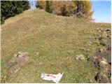 22
22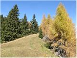 23
23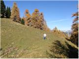 24
24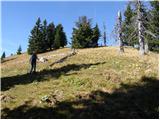 25
25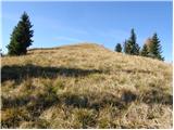 26
26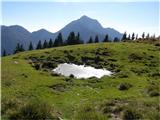 27
27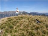 28
28
Discussion about the trail Dom pod Storžičem - Mali Javornik
|
| Janez Seliškar15. 06. 2024 18:53:30 |
Pot na Mali Javornik je prav vzorno markirana.
|
|
|