Dom pod Storžičem - Stegovnik (eastern way)
Starting point: Dom pod Storžičem (1123 m)
| Lat/Lon: | 46,3586°N 14,3906°E |
| |
Name of path: eastern way
Time of walking: 4 h
Difficulty: partly demanding marked way
Altitude difference: 569 m
Altitude difference po putu: 800 m
Map: Karavanke - osrednji del 1:50.000
Recommended equipment (summer): helmet
Recommended equipment (winter): helmet, ice axe, crampons
Views: 11.428
 | 1 person likes this post |
Access to the starting point:
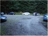
From the Ljubljana - Jesenice motorway, take the Ljubelj exit. Follow the road through Tržič and on the other side of Tržič turn right towards Lom pod Storžičem. Follow this road towards the signs for the Lodge under Storžič. Park in the parking lot a few metres in front of the mountain hut.
Path description:
From the parking lot in front of the lodge, take the road to the left in the direction of Javorniško sedlo and mountain pasture Javornik. After about 20 minutes' walk, the road turns into cart track. Here you can continue along the marked footpath, which is rather abandoned, or you can follow the cart track. I recommend walking along the cart track as it is easier to navigate, even though it is not marked. Follow Cart track, which climbs quite steeply, through the forest to Javorniško sedlo, where there is a crossroads.
Continue slightly left in the direction of Stegovnik and Močnikovo sedlo (sharp left mountain pasture Javornik, right Storžič) following cart track, which crosses the eastern slopes of the Ženiklovec headland. After a few minutes of cross-country walking, cart track joins another slightly wider cart track, where it continues straight (slightly right) moderately downhill. Cart track quickly flattens out and the path leads past a collapsing water trough to a grassy slope where you come across an orientation loop. At the signpost, which is often knocked down, leave cart track and continue left up the grassy slope. After a short climb, the path turns right and continues through a spruce forest. After a few minutes of further walking, the mountain path widens into cart track, which is then followed for some time (the markings in this part are sparse and faded). After a while, cart track changes again into a footpath, which leads us through the forest to the southern slopes of the Malá Javorník Mountains. The trail, which is occasionally quite scenic, quickly returns to the forest, where it switches from the southern slopes to the eastern ones. The path, which continues to descend gently for the most part, leads us over time to the pass between Mali Javornik and Stegovnik, where there is also a crossroads.
Continue left towards Stegovnik (straight ahead Mačensko sedlo) on a path that crosses lane tall grass. The path ahead begins to descend gently and leads us in a few minutes to a parallel path, which runs along the western slopes of Ženiklovec and Malá Javornik. Here we continue to the right (left mountain pasture Javornik) and the path leads us in a few steps to the window in Stegovnik. With the help of a rope ladder we climb up to the first window in the middle of which a passage opens to the left via a ladder downwards. The window then narrows (watch your head) and the path leads to the other side of the side ridge. On the other side of the window, the path starts to climb steeply and leads us to the Stegovnik ridge in the keys. There is a 10-minute walk along the scenic ridge. In the snow, the ridge is dangerous for slipping.
You can descend via the western route.

Pictures:
 1
1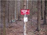 2
2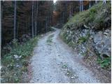 3
3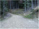 4
4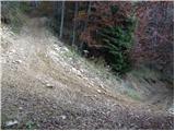 5
5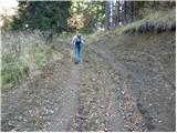 6
6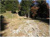 7
7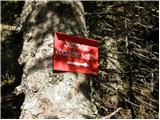 8
8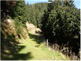 9
9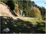 10
10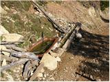 11
11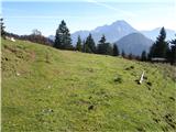 12
12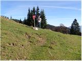 13
13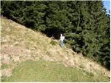 14
14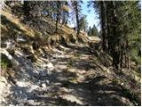 15
15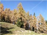 16
16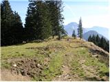 17
17 18
18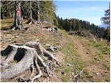 19
19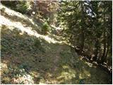 20
20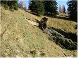 21
21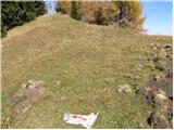 22
22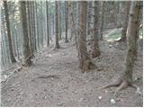 23
23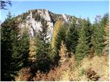 24
24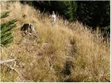 25
25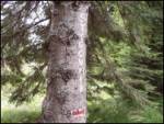 26
26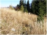 27
27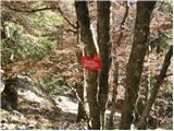 28
28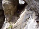 29
29 30
30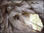 31
31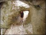 32
32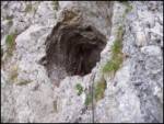 33
33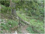 34
34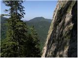 35
35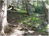 36
36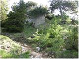 37
37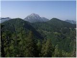 38
38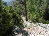 39
39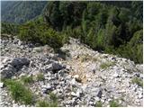 40
40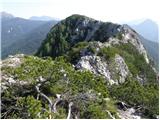 41
41 42
42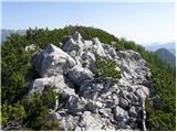 43
43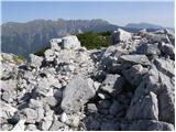 44
44
Discussion about the trail Dom pod Storžičem - Stegovnik (eastern way)
|
| asde14. 03. 2011 |
Zdravo,
v soboto, 12.03.2011 sva se odpravila na Stegovnik. Začetek poti Dom pod Storžičem, čez Javorniško sedlo, naprej pod M. Javornik.
Snega v senčnih legah do 30cm, drugod 5-10cm.
Sam Stegovnik je povsem kopen, vendar poti na vrh nisva našla, markacije so očitno na tleh, pokrite s snegom. Pot je sicer zelo težko sledljiva, malce kritike za PD Tržič in markaciste.
|
|
|
|
| Tinca52. 04. 2011 |
Na vzhodni in zahodni poti na Stegovnik je še nekaj snega v osojnih legah. Oznake je treba kar spremljati, da se ne ujameš v orientacijsko zanko  . Drugače pa razgledna, ne preveč zahtevna pot (višinska razlika).
|
|
|
|
| UB7711. 05. 2014 |
Pozdravljeni, če je kdo nedavno hodil tam, zanima me stanje oziroma prehodnost poti od Javorniškega sedla do Okna. No, za enega vem da je hodil, ker sva se srečala pod Malim Javornikom. 
|
|
|
|
| keti110. 07. 2018 |
Živjo, v nedeljo 8.7. sem bila na Stegovniku, vzpon od Dola pod Pl. Javornik po označeni poti po zahodnih pobočjih Javornikov skozi okno, pot v redu, oznake dobre. Sestopila sem na preval Pri lojtri, od tam pa v smeri Javorniškega prevala preko vzhodnih pobočij Stegovnika in Javornikov. Ta prečna pot je zelo problematična, čeprav je na kartah označena kot lahka markirana. Oznake so res kar dobre in pogoste, je pa pot očitno zelo malo obiskana, precej zaraščena, podrtih je čeznjo ogromno velikih dreves, kjer obvozi povsod niso možni ali varni, ker je pobočje strmo, večkrat je treba plezat čez podrte smreke skozi gosto in ostro vejevje, se plazit spodaj...skratka problematična pot. Tudi orientacijsko marsikje ne veš točno, kam, pa sem vajena tudi neoznačenega sveta in brezpotja. Mislim, da bi jo morali markacisti (najbrž PD Tržič?) očistiti ali pa zapreti oz. vsaj postaviti opozorilne table, da je zaradi podrtih dreves mestoma težko prehodna. Najbolj problematičen je del pod Stegovnikom, to je cca 1 uro hoje.
Lep pozdrav in srečno!
|
|
|
|
| djimuzl10. 07. 2018 |
Keti1, o ovirah na poti lahko javiš PZS - poskodbe.poti@pzs.si - ta bo obvestila ustrezno PD. Tudi kakšna fotografija ne škodi.
|
|
|
|
| VanSims4. 05. 2020 |
Pot je sedaj sicer očitno že očiščena saj večjih problemov s kakimi podrtimi drevesi ni bilo. Markirana pa je še vedno mestoma dokaj slabo. Vsaj v povratku se da nekako (z mslo detektiva) poloviti markacije. Tudi opis je pomankljiv ali pa že zastarel glede na razmere na terenu.
|
|
|
|
| alči2. 08. 2022 23:30:57 |
1. avgusta 22 je bila pot pod Stegovnikom (od Malega Javornika po označeni pot pod Stegovnikom) težko prehodna zaradi podrtih smrek, izruvanih s koreninami (na vzhodnem delu označene poti pod Stegovnikom).
Spregledal sem markacijo pod Malim Javornikom in se povzpel na vrh Malega Javorika (razgled 360 stopinj) ter po najbližji poti do vznožja Stegovnika. Od tam sem hodil predvsem nad melišči. Na markirano pot sem prišel na zadnji tretjini poti pod Stegovnikom. Na tem delu je res veliko izruvanih smrek, ki ležijo po poti, tudi na strmem terenu.
Stegovnik je vedno nepozaben.
Pot po grebenu Stegovnika je krasna, vedna vsega truda. Lep detajl je prehod skozi skalo ob spustu z gore v smeri planine Javornik. Pot do planine Javornik in naprej do Javorniškega sedla ni problematična, čeprav so markacije redke.
|
|
|