Dom pod Storžičem - Storžič (through southwest groove)
Starting point: Dom pod Storžičem (1123 m)
| Lat/Lon: | 46,3586°N 14,3906°E |
| |
Name of path: through southwest groove
Time of walking: 3 h 50 min
Difficulty: easy marked way
Altitude difference: 1009 m
Altitude difference po putu: 1090 m
Map: Karavanke - osrednji del 1:50.000
Recommended equipment (summer):
Recommended equipment (winter): ice axe, crampons
Views: 59.340
 | 1 person likes this post |
Access to the starting point:
From the Ljubljana - Jesenice motorway, take the Ljubelj exit (Tržič) and then continue towards Ljubelj. Just before the petrol station in Bistrica pri Tržiču, leave the main road and turn right towards Tržiča. Continue through Tržič in the direction of Dolžanove gorge, then turn right at the end of the town in the direction of Lom pod Storžičem and Grahovš. At the end of the village Grahovše the asphalt ends and we continue on the dirt road in the direction of Doma pod Storžičem. Follow the steeper dirt road in the upper part of the road to the parking lot near the Doma pod Storžičem.
Path description:
From the starting point near Dom pod Storžičem, continue along the road for a short distance (direction Storžič), and then follow the parallel mountain path that climbs gently along the edge of the meadow. At the upper part of the meadow you will reach a small wooden hut, where the path splits into two parts. We take the slightly right-hand path (left Storžič through Žrelo and over Škarjev rob), which continues along and along the relatively steep cart track. The path dips slightly higher up and turns right. It then climbs cross-climbing to the right for some time before reaching the edge of a steep ravine, over which it climbs cross-climbing to the nearby wide cart track, which is reached just at its end. Leave the cart track immediately and continue slightly left into the forest. Continue through the forest for some time, following the path which descends gently for some time, and then reach a small crossroads, from where you continue in the route Mala Poljana.
From the crossroads onwards, the path starts to climb again, crossing the slopes to the right all the time. At a higher altitude you reach cart track, which is a quick walk to the nearby Mala Poljane.
From Mala Poljana, from where the path from Zalogo and the path from Povelj join, continue left in the direction of Velika Poljana (slightly right Zavetišče v Gozdu, right Tolsti vrh). The path, which continues along cart track, quickly enters the woods and then ascends crosswise through the woods. After a few minutes' walk, you will reach a viewing slope from which you will have a beautiful view of the surrounding mountains. Just a little further on, cart track turns to the right and after a short climb leads us to the upper edge of Velika Poljana, from where we can descend in a minute or two to the Hut on Velika Poljana, otherwise we continue to the left in the direction of Storžiča.
The trail continues along the ridge of Psica (Psica is a kind of western headland of Storžiča), which occasionally retreats slightly to the right. After a climb of about half an hour from the crossroads at Velika Poljana, we arrive at the next marked crossroads, which is located below the top of Psica.
At this crossroads, a very difficult path continues to the left along the ridge of Psice, and we continue to the right towards the easier path to Storžič. From the crossroads onwards, the path descends and ascends again several times, leading us along the slopes of the Psice, from which we occasionally open up some views, otherwise the path for the first part of the crossing mostly passes through the forest. After a further 30 minutes' walk, we arrive at a crossroads where the crossing ends and we join the path leading to Storžič along the south-west gully. Follow the above-mentioned path up to the left (right down mountain pasture Javornik, Povlje, and you can also reach the hamlet of Laško and the village of Bašelj) and start climbing steeply along the path that leads you along the south-west gully of Storžič. After the above-mentioned gully, from which we can enjoy ever better views towards Gorenjska, we climb for a good hour, and then the path turns slightly to the right and leads us to the south-west ridge Storžiča, where we are joined on the right by an unmarked path leading along the above-mentioned ridge.
Continue along the ridge, the marked path then turns slightly to the right and soon we are joined by other paths from Dom pod StoržičemXX and Kališča. From here it is a short climb to the summit, which we can already see in front of us, with beautiful views.
Dom pod Storžič - Mala Poljana 1:00, Mala Poljana - Velika Poljana 15 minutes, Velika Poljana - Storžič 2:35.

Pictures:
 1
1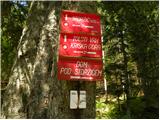 2
2 3
3 4
4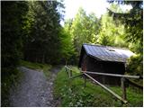 5
5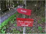 6
6 7
7 8
8 9
9 10
10 11
11 12
12 13
13 14
14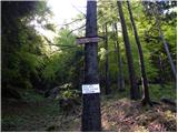 15
15 16
16 17
17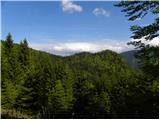 18
18 19
19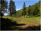 20
20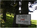 21
21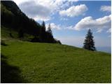 22
22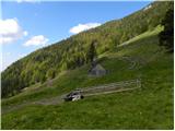 23
23 24
24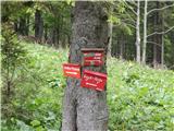 25
25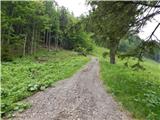 26
26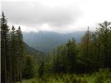 27
27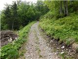 28
28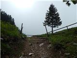 29
29 30
30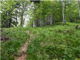 31
31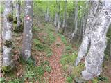 32
32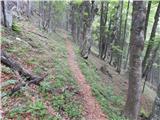 33
33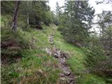 34
34 35
35 36
36 37
37 38
38 39
39 40
40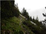 41
41 42
42 43
43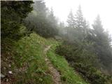 44
44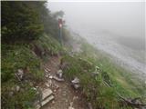 45
45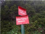 46
46 47
47 48
48 49
49 50
50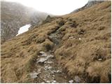 51
51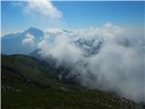 52
52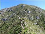 53
53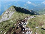 54
54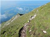 55
55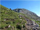 56
56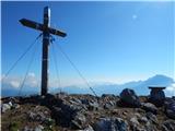 57
57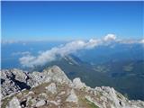 58
58 59
59
Discussion about the trail Dom pod Storžičem - Storžič (through southwest groove)
|
| seinfeld4. 11. 2017 |
Po tej poti sem sicer šel navzdol, rad bi le omenil, da je v drugi polovici precej strma. Nič kaj veliko manj kot pot na Grintovec čez streho.
So pa pogledi na pečine Psice čudoviti.
|
|
|
|
| Planinecizgg21. 05. 2020 |
Pozdravljeni,
mogoče kdo ve, če je tale pot že kopna?
Hvala in lep pozdrav.
|
|
|
|
| robi85626. 05. 2023 23:23:37 |
Pozdravljeni, ali kdo ve, če je pot že kopna?
|
|
|
|
| ppegan27. 05. 2023 20:06:13 |
Na poti je še vedno sneg.
|
|
|
|
| Razgledka29. 06. 2023 21:36:22 |
Ali je pot primerna za neizkušenega planinca/pohodnika in je brez večjih prepadov? Recimo za izlet v naslednjem tednu. Bi jo priporočali tudi za 9 letnika?
|
|
|
|
| sla30. 06. 2023 07:58:11 |
Pot je brez večjih prepadov.
Je pa sama pot po žlebu precej duhamorna. Kar strmo in drseče zaradi zdrajsanega terena.
Jaz tako majhnega otroka tu ne bi peljala, se mu bodo hribi zagabili.
|
|
|
|
| saqo17. 09. 2025 16:03:48 |
Pozdravljeni, je pot še vedno v redu prehodna? bil kdo?
|
|
|
|
| DVas18. 09. 2025 07:26:35 |
|
|
|
|
| saqo18. 09. 2025 12:51:40 |
|
|
|
|
| pantharej18. 09. 2025 17:41:21 |
Od vseh poti na Storžič je ta zaradi erozije najslabša. Ponekod polno drobirja ,drugje spolzko,za gor še gre, navzdol pa ne priporočam. Najbolje je iti po žrelu gor in čez škarjev rob dol.
|
|
|
|
| matej71218. 09. 2025 20:46:45 |
Najbolj poškodovanemu delu poti se lahko izognemo, če gremo iz Povelj na Veliko Poljano in po grebenu proti Psici, potem pa na razpotju desno in se poti skozi žleb priključimo višje.
|
|
|
|
| DVas19. 09. 2025 09:04:37 |
Kot je pantharej napisal. Gor sem šel čez Psico in nazaj čez žleb. Za gor bi še šlo, dol je blo pa mukotrpno.
|
|
|