Dom Trilobit - Planina Stamare (Za Kraševcem)
Starting point: Dom Trilobit (939 m)
| Lat/Lon: | 46,4579°N 14,1031°E |
| |
Name of path: Za Kraševcem
Time of walking: 1 h 15 min
Difficulty: easy unmarked way
Altitude difference: 461 m
Altitude difference po putu: 461 m
Map: Karavanke - osrednji del 1:50.000
Recommended equipment (summer):
Recommended equipment (winter): ice axe, crampons
Views: 9.446
 | 2 people like this post |
Access to the starting point:
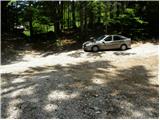
From the motorway Ljubljana - Jesenice take the exit Lipce and follow the road towards Jesenice. When you reach the semaphoreised junction where you join the old road, turn right in the direction of Žirovnice. Follow this road for only a short distance, as at the next slightly larger junction (traffic lights) continue left in the direction of Javorniški Rovt. The road then passes through an underpass (railway) and then turns left (right Koroška Bela). Follow the road, which starts to climb steeply higher, in the direction of Javorniški Rovt, but only until the crossroads, where a sharp left turn to the right (straight) leads to the Trilobit home and the Javornik spring (no buses). A little further on, the road leads to the above-mentioned home and the storage lake at the Javornik hydroelectric power station. Park in the unregulated parking lot behind the lake and the Trilobit home (parking in front of the home is not allowed).
Path description:
From the parking lot, take the cart track towards the nature and mining trail. Cart track immediately starts to climb quite steeply on the left side of the stream that you can hear near you. Soon the path leads to a wooden pole where a signpost for mountain pasture Stamare directs us to the right (straight mountain pasture Seča). Continue to the right and the dirt track leads you in a few minutes to the interesting spring of the Javornik stream.
The ascent continues along the cart track, which has a few minor forks, but if you follow the signs of the mining trail you will not have any major problems with orientation. Cart track then turns into a less visible footpath, which joins the wide cart track just a little higher up, which is followed to the left.
Follow the often rather muddy cart track past a large rock (boulder), which you should look out for. About 3 minutes' walk from the boulder, the track turns right, and we leave it just at this bend and continue straight ahead on a barely visible path that initially climbs through a rather sparse forest. The path, which is less and less visible, then leads us into a dense forest, where it starts to climb steeply upwards along small streams (orientation in this part is very difficult). Higher up, the path becomes easier to follow and, after a few minutes of further walking, leads us to a grazing fence. Continue "crossing" the fence and in a few further steps you reach the mountain pasture of Stamare (the shepherd's hut is located at the eastern end of mountain pasture).

Pictures:
 1
1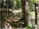 2
2 3
3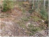 4
4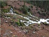 5
5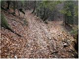 6
6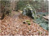 7
7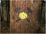 8
8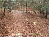 9
9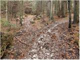 10
10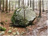 11
11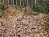 12
12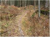 13
13 14
14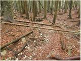 15
15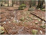 16
16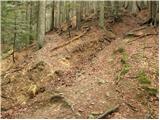 17
17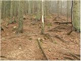 18
18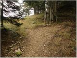 19
19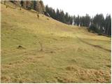 20
20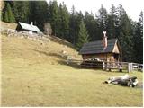 21
21
Discussion about the trail Dom Trilobit - Planina Stamare (Za Kraševcem)
|
| heinz6. 05. 2009 |
Na Stamarah sem bil 2 dni nazaj in sicer sem ubral neoznačeno pot čez obe Boncli (Mala B. je proti vrhu celo varovana z jeklenimi vrvmi. Prijetno razgledišče). Na planino sem prišel torej z zahodne smeri blizu tukaj opisane poti "za Kraševcem", le da bi "mojo" pot morda lahko poimenoval "pred Kraševcem", v kolikor je vzpetina (ali hrbtišče)na Zahodni strani planine- Kraševec. Na Geopedia.si namreč omenjena vzpetina nima imena, navedena pa je le njena nmv., in to 1425, kar potrjuje moja predhodna sklepanja o nadmorski višini Stamar- cca 1400. Dokončno pa to potrjuje tudi topo-karta na omenjeni spl.strani in s slikami opremljen opis planine, ki navaja njeno nadmorsko višino na meji med 1398 in 1407.6 nmv.
Torej bo na tem mestu potrebna korekcija.
|
|
|
|
| Tadej6. 05. 2009 |
Heinz, hvala za informacijo. Je že popravljeno.
|
|
|
|
| 1119. 07. 2025 21:04:21 |
Težav z orientacijo ni, saj je vse do planine (in naprej) označena z občinskimi rumenimi markacijami in smernimi tablami.
|
|
|