Dom Trilobit - Weinasch/Vajnež (via Rida)
Starting point: Dom Trilobit (939 m)
| Lat/Lon: | 46,4579°N 14,1031°E |
| |
Name of path: via Rida
Time of walking: 4 h
Difficulty: easy unmarked way
Altitude difference: 1165 m
Altitude difference po putu: 1200 m
Map: Karavanke - osrednji del 1:50.000
Recommended equipment (summer):
Recommended equipment (winter): ice axe, crampons
Views: 17.560
 | 3 people like this post |
Access to the starting point:
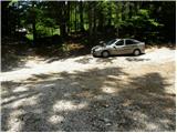
From the motorway Ljubljana - Jesenice take the exit Lipce and follow the road towards Jesenice. When you reach the semaphoreised junction where you join the old road, turn right in the direction of Žirovnice. Follow this road for only a short distance, as at the next slightly larger junction (traffic lights) continue left in the direction of Javorniški Rovt. The road then passes through an underpass (railway) and then turns left (right Koroška Bela). Follow the road, which starts to climb steeply, in the direction of Javorniški Rovt, but only until the crossroads, where a sharp left turn to the right (straight) leads to the Trilobit home and the Javornik spring (no buses). A little further on, the road leads to the above-mentioned home and the storage lake at the Javornik hydroelectric power station. Park in the unregulated parking lot behind the lake and the Trilobit home (parking in front of the home is not allowed).
Path description:
From the parking lot, take the cart track towards the nature and mining trail. Cart track immediately starts to climb quite steeply on the left side of the stream that you can hear near you. Soon the path leads to a wooden pole where a signpost for mountain pasture Seča directs us to a slightly left path (to the right the spring of Javornik and mountain pasture Stamare). Cart track then leads to the vicinity of the stream along which it climbs to the spring (one of the springs of the Javornik stream). After the spring, cart track turns into a footpath, which climbs quite steeply in places, through a mostly quite overgrown forest. The path then approaches the wall and turns left before it. There is a less steep climb up to a bench, which is not in the best condition. The path continues to climb through increasingly sparse forest so that we occasionally open up beautiful views of the surrounding area. A little further on, we will see an amphitheatre called Rida on the right (to the right leads an unmarked and rather overgrown path towards Belščić). Our route turns left and after a short, not steep climb we reach the signposts at the beginning of mountain pasture Seč.
Here we continue to the right in the direction of Hochstuhla and Weinasch (to the left Barentaler Kotschna and Kahlkogel) along a path which climbs gently over partly grassy and rubbly slopes. There is a short descent and the path leads to the scree surrounding the cirque of the Rida. Continue on a gentle traverse, crossing the avalanche slopes (in the central part there is a danger of falling rocks in a short section) and climbing a step higher on the other side of the Rida. The steepness eases further and the increasingly scenic route leads to the top of the almost unnoticeable Kamnitnik (1 minute). The route continues on a gentle ascent, crossing the slopes to the east and crossing a slightly more distinct gully a little further on.
The path continues to be gently sloping and increasingly scenic, but after a while it leads us to a marked crossroads where an unmarked path branches off to the left up to Weinasch (straight Hochstuhl and Potoški Hochstuhl). Here we continue up to the left in the direction of Weinasch and continue our ascent along a barely visible path which, after a short climb, leads us to the edge of the main ridge of the Karavanke Mountains (Karawanká) mountains. Follow this path, which gradually turns into an easier trackless path, to the lookout peak. Dom Trilobit - Seča 2:00, Seča - Weinasch 2:00.

Pictures:
 1
1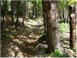 2
2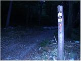 3
3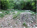 4
4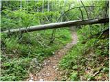 5
5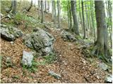 6
6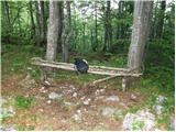 7
7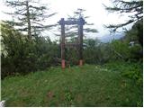 8
8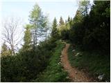 9
9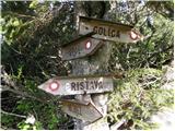 10
10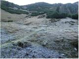 11
11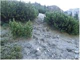 12
12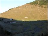 13
13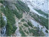 14
14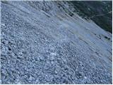 15
15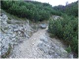 16
16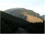 17
17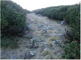 18
18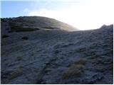 19
19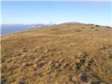 20
20 21
21 22
22 23
23 24
24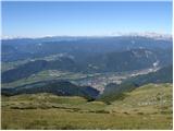 25
25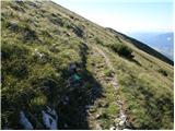 26
26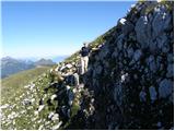 27
27 28
28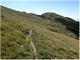 29
29 30
30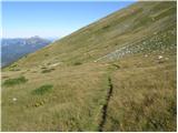 31
31 32
32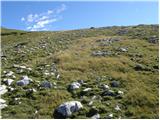 33
33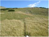 34
34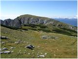 35
35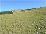 36
36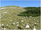 37
37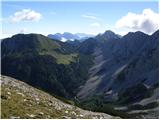 38
38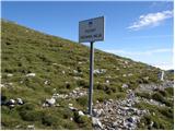 39
39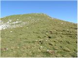 40
40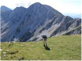 41
41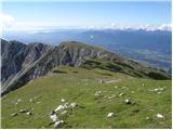 42
42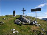 43
43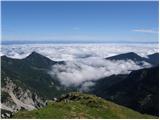 44
44
Discussion about the trail Dom Trilobit - Weinasch/Vajnež (via Rida)
|
| Micky28. 06. 2010 |
Včeraj smo obiskali Vajnež. Prekrasen dan, na vrhu malo "prepiha" a kljub vsemu me je sonc e lepo pordečilo. Preživeli smo vsekakor prekrasen dan in skupno 6 ur hoje. Priporočam. 
|
|
|
|
| Čebela7. 10. 2010 |
Zanima me samo, kaj pomeni, da je eozmačena in če vseeno ni problema najdt,če imaš le malo občutka za orientacijo. Resno namreč razmišljamo o odhodu na tale Vajnež, samo ne bi bila rada kriva za izgubo štirih ljudi. 
|
|
|
|
| heinz8. 10. 2010 |
Čebela, verjemi, nobenega človeka tam gori ne boš izgubila, kajti gre za označeno pot, ki vodi od istega izhodišča na Stol, le zadnji metri poti na Vajnež, omenjeni v zadnjem odstavku zgoraj, niso označeni, zato se pot tretira kot neoznačena.. Sicer pa od tam, če ste že tako daleč, lahko nadaljujete na Stol (vam ne bo žal) in potem po isti poti nazaj. Peberi še opis poti na Stol (skozi Medji dol)! Vajnež je v bistvu, podobno kot Mali vrh in Potoški Stol, le vmesna postaja..
|
|
|
|
| Čebela8. 10. 2010 |
Hvala za tako hitr odgovor in za dodaten predlog. Ga bom posredovala ekipi.  Lep vikend tudi vsem, ki tole berete,želim.
|
|
|
|
| darh18. 08. 2012 |
V torek smo se na Vajnež povzpeli po tu opisani poti. Na naši strani smo uživali v soncu in lepih razgledih, medtem ko je bila avstrijska stran ves čas potopljena v meglo. Večino poti smo bili sami, le med vračanjem smo srečali nekaj avstrijskih in čeških planincev. Več o naših vtisih pa tule.
|
|
|
|
| Majdag18. 08. 2012 |
...Naj dodam še tole - pot je očiščena, podrta drevesa prežagana, ruševje obrezano vse do Kamnitnika, pa veliko je novih markacij...
|
|
|
|
| zajko12. 06. 2017 |
Včeraj po opisani poti na Vajnež,krožno čez planino Stamare nazaj.Lep sončni dan in zelo lepi razgledi.Med obilico rož že tudi nekaj
planik.
|
|
|