Dom v Dragi - Begunjščica (via Roblekov dom)
Starting point: Dom v Dragi (689 m)
| Lat/Lon: | 46,395°N 14,2183°E |
| |
Name of path: via Roblekov dom
Time of walking: 4 h 20 min
Difficulty: easy marked way
Altitude difference: 1371 m
Altitude difference po putu: 1371 m
Map: Karavanke - osrednji del 1:50.000
Recommended equipment (summer):
Recommended equipment (winter): ice axe, crampons
Views: 77.007
 | 4 people like this post |
Access to the starting point:
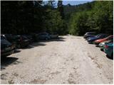
From the motorway Ljubljana - Jesenice take the exit Brezje, Radovljica or Lesce, then continue in the direction of Begunj in the Gorenjska region. When you arrive in Begunje, drive through the centre of the town, and at the crossroads follow the signs for Kamen Castle and Dom v Draga. On the other side of the town, the main road turns right towards Tržič, and we continue straight on to a narrower road that quickly takes us into the Draga valley. For a short time we continue along the asphalt road, and then the asphalt ends and the road leads us to the parking lot in front of the Dom v Draga. As only guests are allowed to park in front of the lodge, we continue to the right, and after a further 100 metres we park in one of the two larger gravel car parks.
Path description:
From the parking lot continue along the road, which takes us past the beehive in a few minutes walk to the crossroads, where we continue left along the road (right Preval-a over Luknja and Begunjščica over Preval-o), which begins to climb the picturesque gorge. Continue along the road for a while, then signs direct you left onto a footpath that starts to climb steeply. Higher up, the steepness eases slightly and the marked path crosses the forest road 3 times (2 different roads). The path, which mostly passes through the forest, leads us higher up to the lower part of the mountain pasture Planinca. Here the markings direct us to the right (climbing straight over mountain pasture is forbidden) to a cross path which leads us in a few steps of further walking to a road which we follow to the left.
After a few 10 steps on the road we reach a crossroads where we continue straight on (sharp right mountain pasture of Preval). Here a short path branches off to the left which leads us to a hut on mountain pasture of Planinca, and we continue straight on the road until we reach Tomčeva koča na Poljški planini, which we reach after 15 minutes of further walking.
From Tomč's hut, continue right after the Roblekov dom markers and continue the ascent along the path that turns into the forest. The path through the forest climbs moderately and soon leads to a place where several logs have been placed for heating Roblek's home. If we are in the mood and have enough strength, we can take a log to the hut (they will be very grateful).
Higher up, the forest on the trail becomes thinner and the path steeper. From the wide and well surfaced path, which is quite muddy after rain, we occasionally get beautiful views. The path then turns slightly to the left and leads us to a place where we join the path from the right with the mountain pasture of Preval.
Continue along the left-hand path which, after a further 10-minute cross-climb, leads to a mountain lodge.
From the house, continue right in the route Veliki vrh to Begunjščica along the path which, after a few steps, goes into the forest. The Lane of the forest, which is short, quickly turns into bushes and higher up into dwarf pines. After a good 20 minutes of ascent from Roblek's house, we reach the next crossroads, where we continue again in the direction of Veliki vrh, which is the highest peak of Begunjščica (left Dom na Zelenica) at 2060 m. The path continues to climb crosswise, along the sometimes quite steep southern slopes of Begunjščice. The cross-country route offers beautiful views of the Gorenjska region. The path, which is also dangerous to slip in the wet, then leads us to a scenic peak, which we reach after a scenic and steep slope.

Pictures:
 1
1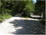 2
2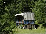 3
3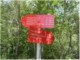 4
4 5
5 6
6 7
7 8
8 9
9 10
10 11
11 12
12 13
13 14
14 15
15 16
16 17
17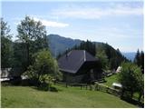 18
18 19
19 20
20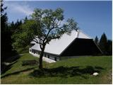 21
21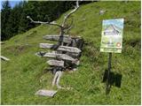 22
22 23
23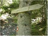 24
24 25
25 26
26 27
27 28
28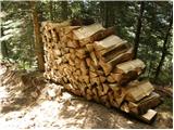 29
29 30
30 31
31 32
32 33
33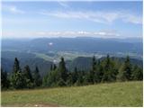 34
34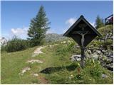 35
35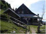 36
36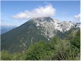 37
37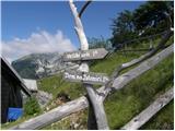 38
38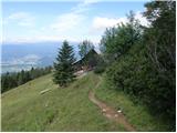 39
39 40
40 41
41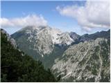 42
42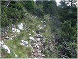 43
43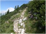 44
44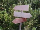 45
45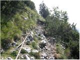 46
46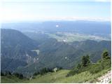 47
47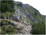 48
48 49
49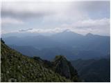 50
50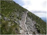 51
51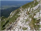 52
52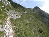 53
53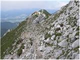 54
54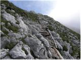 55
55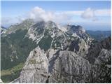 56
56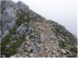 57
57 58
58 59
59 60
60 61
61
Discussion about the trail Dom v Dragi - Begunjščica (via Roblekov dom)
|
| Domch29. 11. 2012 |
v nedeljo premierno tudi na Begunjščci. Lepa lahka tura mimo Robleka in na Veliki vrh. Pot nezahtvena, z lepimi razgledi daleč naokrog. Julijci in KSA kot na dlani, pogleda je segal vse do Pohorja. Vreme lepo sončno in toplo. Na vrhu pa je pihal mrzel veter. Kavke so se razveselile obiska in malce. 
|
|
|
|
| laik23. 06. 2013 |
to pot imam namen v bližnji prihodnosti prehoditi....nisem pa ravno izkušen..je primerno? hvala za nasvet
|
|
|
|
| laik23. 06. 2013 |
lidija,hvala 
|
|
|
|
| Kokta4. 05. 2015 |
Bravo Zgembo 
|
|
|
|
| Farki814. 03. 2019 |
Včeraj prehodil tole pot, pot po gozdu do planine Planinca (več poti, saj zgleda vsak gre malo po svoje) je zaradi velikega obiska shojena in dobro vidna. Če želite po poti do planine Planinca slediti markacijam, jih vmes nekaj manjka, ali pa jaz slabo vidim, zato pa je tudi shojen precej širok pas gozda. Od tu naprej je pot mimo Poljške planine do Roblekovega doma lepo urejena, zgornja polovica poti je bila kar precej poledenela. Od Roblekovega doma naprej pa vse do Velikega vrha je bila pot zaradi odjuženega snega kar precej zahtevna, ter nevarna za zdrs. Razgled na vrhu pa vreden vsake kapljice znoja 
|
|
|
|
| Mirza1528. 10. 2019 |
Včeraj sva bila z ženo na Begunjščici, odličen izlet, vreme prekrasno, veliko ljudi izkoristilo zadnji poletni dan  , priporočam vsem, ki bi se radi naužili lepih razgledov naše prelepe Gorenjske  .
|
|
|
|
| Zgembo22. 02. 2020 |
Danes bil na tej turi, vreme fenomenalno, na parih koncih pomrznjena potka, vendar se jo da zaobiti, zimska oprema ni potrebna. Lepa tura, evo nekaj fotk  https://youtu.be/zAVEHdxmtWM https://youtu.be/zAVEHdxmtWM
|
|
|