Starting point: Dom v Gorah (762 m)
| Lat/Lon: | 46,1149°N 15,1384°E |
| |
Time of walking: 1 h 40 min
Difficulty: partly demanding marked way
Altitude difference: 148 m
Altitude difference po putu: 215 m
Map:
Recommended equipment (summer):
Recommended equipment (winter): ice axe, crampons
Views: 28.893
 | 2 people like this post |
Access to the starting point:
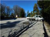
From Celje, drive to Laško and follow the road to the next major crossroads, where you turn right towards Hrastnik. The road, which is mostly gently ascending, then leads to a crossroads where the road to the village Turje branches off to the left. Continue through Turje and follow the road at the crossroads in the direction of the mountain home in Gorje, where you park in the parking lot near the home.
From Sevnica, drive towards Celje. Shortly after the village Rimske Toplice, the road to Hrastnik branches off to the left. Continue as described above.
From Hrastnik, drive towards Laško. Shortly after the village of Dol, the road turns right towards the village of Turje. Continue as described above.
Path description:
From the house, first walk along the road you came on, then leave the road at the signposts and turn right onto the footpath in the direction of Kopitnika. The way forward first crosses the road a few times and then climbs steeply to a crossroads, where you retrace your steps in the direction of Kopitnik. After a further few minutes' walk, the signs direct us left to cart track, which climbs gently to moderately on a partly vegetated slope. After a while, the path starts to descend and leads to a dirt road. Here continue along the road to the next crossroads, where you turn right in the direction Kopitnik, koča. This road (which can also be a marked shortcut) then leads us to the Kopitnik hut in five minutes.
From the hut, continue along the path towards the summit. After a few minutes, the path leads to a forest road, where you continue to the left. The road then leads past a playground and then turns into cart track. From cart track, a marked footpath branches off to the left and leads through the forest to the Kopitnik hilltop. There is a short descent and then a climb up a steep and slightly exposed slope. For the last ascent to the top, we have the fixed safety gear to help us, but they are not strictly necessary. More caution is needed at the very top, as the summit is narrow and precipitous.

Pictures:
 1
1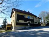 2
2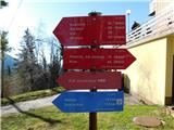 3
3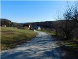 4
4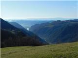 5
5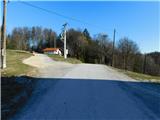 6
6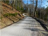 7
7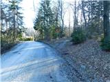 8
8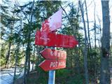 9
9 10
10 11
11 12
12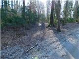 13
13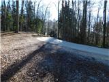 14
14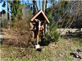 15
15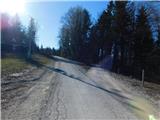 16
16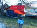 17
17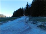 18
18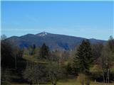 19
19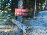 20
20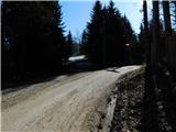 21
21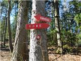 22
22 23
23 24
24 25
25 26
26 27
27 28
28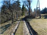 29
29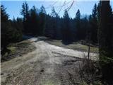 30
30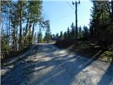 31
31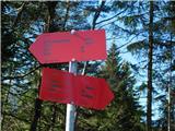 32
32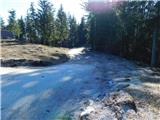 33
33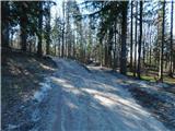 34
34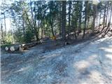 35
35 36
36 37
37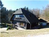 38
38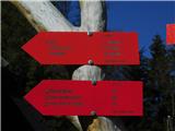 39
39 40
40 41
41 42
42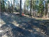 43
43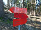 44
44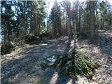 45
45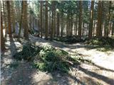 46
46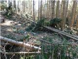 47
47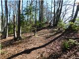 48
48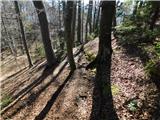 49
49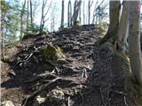 50
50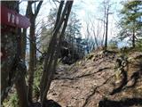 51
51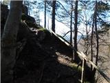 52
52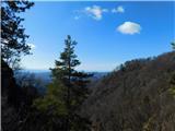 53
53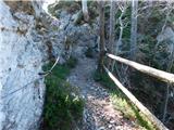 54
54 55
55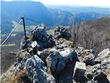 56
56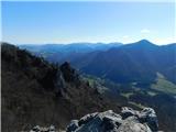 57
57
Discussion about the trail Dom v Gorah - Kopitnik
|
| Rudi263. 05. 2011 |
Danes sva se s prijateljem povzpela nanj. Nazaj grede naju je ujel močan dež, ampak je bilo vredno, vrh mi je bil zelo všeč, razgled je zelo lep. Ampak pot je pa zelo slabo označena oziroma večinoma sploh ni označena. Večji del sva se morala držati ceste, pa tudi v gozdu sva se skoraj zgubila.
|
|
|
|
| modrook1224. 06. 2015 |
se da do koče na kopitniku priti z avtom oziroma do njene bližine? drugače smo pravi planinci,vendar smo trenutno odvisni od otroškega vozička 
|
|
|
|
| hribuc8525. 06. 2015 |
Z avtom se da pripeljati do zapornice, ki je nad kočo. Nato se samo še sprehodite po makadamski cesti približno 100 metrov navzdol do koče.
Lep izlet.
|
|
|