Dom v Iškem Vintgarju - Krim (steep path)
Starting point: Dom v Iškem Vintgarju (360 m)
| Lat/Lon: | 45,9118°N 14,4993°E |
| |
Name of path: steep path
Time of walking: 2 h
Difficulty: partly demanding marked way
Altitude difference: 747 m
Altitude difference po putu: 760 m
Map: Ljubljana - okolica 1:50.000
Recommended equipment (summer):
Recommended equipment (winter): ice axe, crampons
Views: 38.232
 | 2 people like this post |
Access to the starting point:
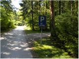
From the southern Ljubljana ring road, take the exit for the Rudnik industrial zone, then continue towards Ig. At the main roundabout in Igo, turn right (direction Iški Vintgar and Iška vas), and we continue along the main road towards Ischke Vintgar. When you get to Iški Vintgar, park in the first marked parking lot on the right hand side.
Path description:
At the end of the first parking lot you will see a slightly overgrown cart track, which climbs only slightly parallel to the nearby road. After a few 10 m, when we are quite close to the second forest road, our cart track turns right into the bank. After a short climb (some 10 m), pay attention to the trees on the right-hand side, as you will see the first marker there and, a little higher up, a second and a third marker among the fallen trees.
In the lower part of the trail, a few fallen trees make it more difficult to follow, but if you follow the markings carefully, they lead you up the slope almost straight up, there are no major problems with orientation. After a few minutes of steep ascent, the path is further upright and then climbs very steeply for some time (especially in wet conditions there is a high risk of slipping). Higher up the path, which is really quite steep, turns right for a few metres, where it leads to a small ridge. Here the track dips a little, but continues to climb steeply for some time. After a few minutes, we leave the undistinguished ridge, as the relatively frequent markings on the less well-trodden path direct us to the right on steep slopes, over which we climb cross-climbing to the right. After a few minutes of traversing, we arrive in an unmarked valley, which we climb in three minutes to the edge of a small plateau near Gornji Igo. From here it is a long descent of a few steps and we join the trail from Ischka.
When you reach the marked trail, follow it to the left, and then follow it in the route Krima at several successive crossroads.
At the Velika Pasica cave we leave the asphalt and continue to Krim, first on the dirt road and higher up cart track. Cart track crosses a wider dirt road a little higher up (by the power line), after which it starts to climb a little steeper. After a few minutes of moderate ascent, you arrive at a marked crossroads, where you continue "straight ahead" in the direction of Krimo (left Iški Vintgar - the usual route, right Strahomer).
The way forward starts to climb quite steeply on the partly rocky cart track, and we walk along it until we reach the road leading to the Krim. Here we cross the road and, passing a cross and military installations, we climb in less than 5 minutes to the mountain home on the Krim.

Pictures:
 1
1 2
2 3
3 4
4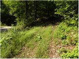 5
5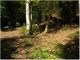 6
6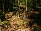 7
7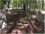 8
8 9
9 10
10 11
11 12
12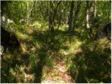 13
13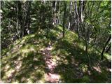 14
14 15
15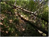 16
16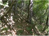 17
17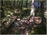 18
18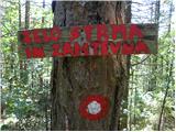 19
19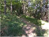 20
20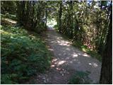 21
21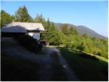 22
22 23
23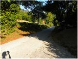 24
24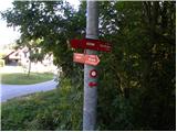 25
25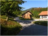 26
26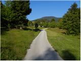 27
27 28
28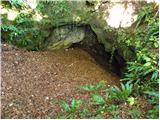 29
29 30
30 31
31 32
32 33
33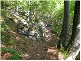 34
34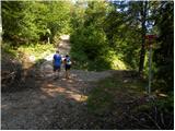 35
35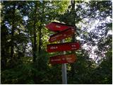 36
36 37
37 38
38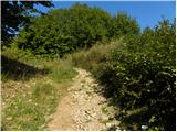 39
39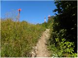 40
40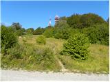 41
41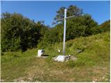 42
42 43
43 44
44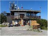 45
45
Discussion about the trail Dom v Iškem Vintgarju - Krim (steep path)
|
| Andrej Potrata21. 12. 2011 |
Včeraj sem bil na vrhu in je bilo enkratno.
Pazit je treba le da ne spodrsne, ker je pot pod vrhom poledenela.
|
|
|
|
| erikaleon31. 10. 2012 |
Danes skušala iti po tej poti, vendar sva zgleda falila in šla po običajni ki vodi na vrh.
|
|
|
|
| zokipoki11. 04. 2015 |
zelo strma in fizično naporna pot v spodnjem delu... markacije so za avanturiste  ...je treba kar dobro gledati, da ne zaideš...pot je slabo uhojena in primerna za samotarje in avanturiste-vse do priključitve poti iz iške...meni je bila všeč.
|
|
|
|
| Mikens23. 06. 2019 |
POMEMBNO!
Vse pohodnike naprošam, naj imajo pse na vrvici! (območje medveda.)
Lep lovski pozdrav.
Klement Mal, LD Tomišelj
|
|
|
|
| zwbgr30. 07. 2021 12:17:24 |
Lahko kdo natančneje opiše izhodišče poti v Vintgarju? Prometna ureditev je spremenjena in omenjenega parkirišča nisem videl.
Potem sem šel po "običajni" poti za domom in pot iskal še iz vrha, pa očitno tudi tam zgrešil, ker sem sledil uhojeni stezi po grebnčku, ki pa se je na koncu izgubila. Potem sem se spustil kar po pobočju, dvakrat sem naletel na drevo z rdečo črto (markacija ali kakšna gozdarska oznaka?) in prišel spodaj na gozdno cesto, ki me je pripeljala med dvema vikendoma na cesto v bližini asfaltiranega mosta čez Iško.
|
|
|
|
| jbs30. 07. 2021 21:36:55 |
Pot se začne nekaj metrov z makadamske ceste, ki se odcepi na desno proti hišam in vodarni pred parkiriščem pred domom. Priključi pa se potem na pot, ki pride iz Iške, ko ta pride na planoto Zgornjega Iga, nekaj deset metrov, ko se na poti začne makadam (pri leseni uti oz. garaži). Je pa pot slabše vidna.
|
|
|
|
| NerodniPohodnik28. 11. 2021 22:33:53 |
V Ljubljani so strmi bregovi po manj vidnih stezicah označeni z delno zahtevni?
|
|
|