Dom v Kamniški Bistrici - Planjava (via Repov kot)
Starting point: Dom v Kamniški Bistrici (601 m)
| Lat/Lon: | 46,3271°N 14,5893°E |
| |
Name of path: via Repov kot
Time of walking: 5 h 45 min
Difficulty: difficult pathless terrain
Altitude difference: 1791 m
Altitude difference po putu: 1791 m
Map: Kamniške in Savinjske Alpe 1:50.000
Recommended equipment (summer): helmet
Recommended equipment (winter): helmet, ice axe, crampons
Views: 52.295
 | 1 person likes this post |
Access to the starting point:
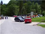
We drive into Kamnik and follow the road towards the Kamniška Bistrica valley, where we park in a large parking lot near our home in Kamniška Bistrica.
Path description:
From the parking lot in front of the Kamniška Bistrica lodge, continue along the initially asphalted road, which after a short climb quickly leads us into the forest. After a few minutes of walking, the mountain signs for Kamniško sedlo direct us to the right on a steep footpath that leads us slightly higher to an interesting passage under overhanging cliffs. The steep path then leads us to the bottom station of the cargo cableway, where we step out onto the road. Continue to the left and then, after a few steps, take a sharp right. A relatively steep forest path leads us higher up to cart track, which we follow for a few tens of metres to the right, and then signs direct us to the left, where after a steep initial climb the steepness subsides. Next, in a slight cross-climb, cross the relatively steep slopes, after which the path from the higher starting point (Jermanca) joins us on the left. A few minutes' walk later, the path leads to the crossroads V Klinu. The marked trail towards Kamniško sedlo turns left up here (there are also signposts along the way), and we continue slightly right on the unmarked trail. At the beginning of this path there is a large sign "The path does not lead to K. sedlo".
The path then starts to climb slightly steeper and passes through the forest on the left side of the valley. A few times a narrow track branches off the path to the right, but all the time we are walking along a better-beaten track, which runs along the left side of the valley all the time. Later, when the path leads us out of the forest, if there is enough water in the stream, we will see a waterfall on the right. The path then crosses a slightly exposed slope to the right, helped by a few wedges. Here you will see a few small pools in the stream bed on the right. Continue left and start climbing again through the forest and dwarf pines. Once out of the forest, the path leads to a crossroads where you continue right along a narrow path through dwarf pines. Near the crossroads there is a windmill on the left, but if we were to continue to the left, the path leads us after a few metres to a lookout ridge.
From dwarf pines the path leads over a short scree slope and then crosses rock slabs. The path still follows the left side of the valley and turns slightly to the right at the last part. Here the path becomes a little steeper and some easier climbing is required (1st degree). The path is also a little less visible in this part and some cairns help. At the last climb towards Srebrno sedlo the route gives way to a slope to the right.
At Srebrno sedlo where you join the marked path, continue left. Cross the slopes to the west, ascending at a moderate gradient. Continue to the next crossroads, where you continue right towards the top of Planjava (Kamniško sedlo on the left). The green meadows are finally saying goodbye to the increasingly scenic path, replaced by grey rock. Just below the summit, the paths from Klemenča jame and Kamnička sedlo join up. There is only a short climb up the top slope of the mountain.

Pictures:
 1
1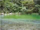 2
2 3
3 4
4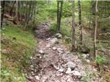 5
5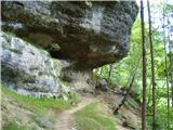 6
6 7
7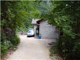 8
8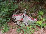 9
9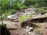 10
10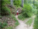 11
11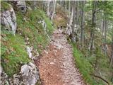 12
12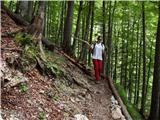 13
13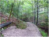 14
14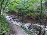 15
15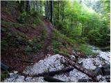 16
16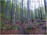 17
17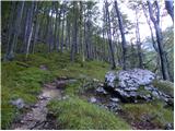 18
18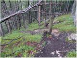 19
19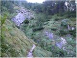 20
20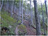 21
21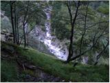 22
22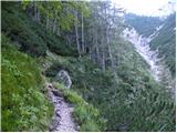 23
23 24
24 25
25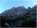 26
26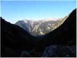 27
27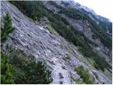 28
28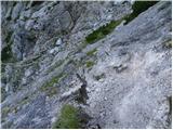 29
29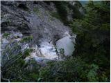 30
30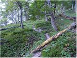 31
31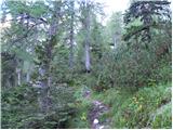 32
32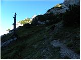 33
33 34
34 35
35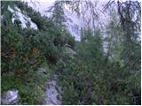 36
36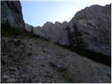 37
37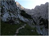 38
38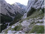 39
39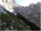 40
40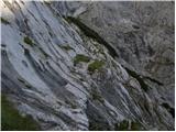 41
41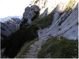 42
42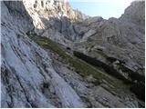 43
43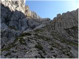 44
44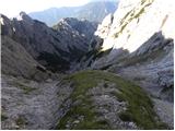 45
45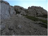 46
46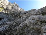 47
47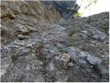 48
48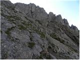 49
49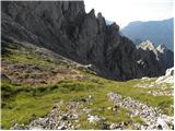 50
50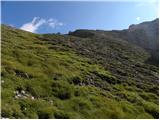 51
51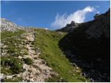 52
52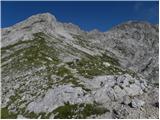 53
53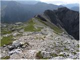 54
54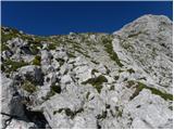 55
55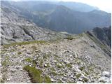 56
56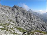 57
57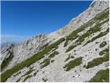 58
58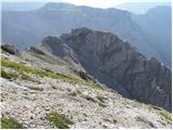 59
59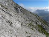 60
60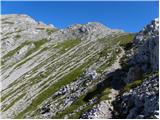 61
61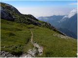 62
62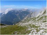 63
63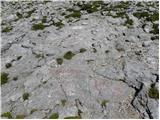 64
64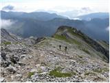 65
65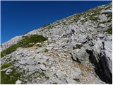 66
66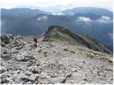 67
67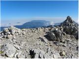 68
68
Discussion about the trail Dom v Kamniški Bistrici - Planjava (via Repov kot)
|
| dprapr5. 10. 2012 |
Napisa na sliki 16 "Pot ne vodi na K.S." več ni ali pa je zasipan!
Še dobro, da so te slike objavljene. Da vsaj lahko vidim, kje sem danes hodil po megli in dežju! Od tolmunov dalje nisem videl nič!
|
|
|
|
| dprapr5. 10. 2012 |
Še to bi dodal. Pot proti Kamniškemu sedlu je pravzaprav v spodnjem delu najbolj zanimiva in ni nobene potrebe, da se zaradi pol ure hoje več v tej smeri vozimo z avti.
|
|
|
|
| pohodnik3825. 08. 2013 |
Nekaj slikic in vtisov z te lepe samotne poti. SLIKE
|
|
|
|
| pohodnik3815. 07. 2015 |
Pred dobrim tednom 4.julija prehojena pot spet po dveh letih.Še večji užitek jo je bilo prehoditi saj je bila izbrana kar po navdihu. SLIKE in osebni vtisi z poti Lp Tone 
|
|
|
|
| fpetel13. 08. 2015 |
Kolk je zahtevna tale pot? Plezanje? Kaj pa orientacija preden prideš na Srebrno sedlo? Sprašujem, ker gre po stritarjevem opisu, za zelo zahtevno brezpotje, jaz bi šel pa na pot sam brez vrvi. Saj izkušenj z lažjimi brezpotji in zavarovanimi potmi po naših hribih imam, z zelo zahtevnimi brezpotji pa še ne.
|
|
|
|
| lepenatka3. 08. 2015 |
Sem šla pred kakim mesecem in nisem imela nobenih težav. Sem sledila opisu zgoraj.
Vrvi ne rabiš. Je pa boljša za gor kot za dol. Vsaj zame.
Varen korak.
|
|
|
|
| lepenatka3. 08. 2015 |
Sem šla pred kakim mesecem in nisem imela nobenih težav. Sem sledila opisu zgoraj.
Vrvi ne rabiš. Je pa boljša za gor kot za dol. Vsaj zame.
Varen korak.
|
|
|
|
| ločanka4. 11. 2016 |
Tole pa ni pot skozi Repov kot
|
|
|
|
| tinky4. 11. 2016 |
Je pozabu u Klinu desno zavit
|
|
|
|
| trdi11. 06. 2018 |
Zakaj pa ta pot ni markirana, pa recimo še tista čez Žmavčarje in Gamsov skret? Ali so kakšni posebni razlogi za to?
|
|
|
|
| smatjaz11. 06. 2018 |
ja ker so to lovske poti in niso v pristojnosti PZS, kar pa ne pomeni da nekoč ne bodo, nikoli se ne ve
|
|
|
|
| NYG11. 06. 2018 |
PZS je na stališču, da je planinskih poti dovolj in tako ne misli odpirat/označevat novih poti.
|
|
|
|
| rinoz18. 08. 2018 |
Verjetno pa je tudi razlog v tem, da ni smiselno ljudi peljati mimo kamniške koče. Danes sem sestopil po tej poti in je res zelo zahtevna, vsaj zame - t.i. naprednega začetnika. V zgornjem delu pod skalno stopnjo je veliko drobirja, ki zahteva pazljiv korak.
|
|
|
|
| Victorinox4. 08. 2022 22:07:11 |
Za sestop kar precej zoprna in ne najlažja pot, v kakšni megli pa zna biti nevarna tudi z orientacijskega vidika.
|
|
|
|
| Rankun27. 06. 2023 08:10:51 |
Re:trdi
razlog, da vsaka lovska steza markirana je tudi v tem, da se trudi usmerjati planince na že markirane poti. V gorah imaš živali, ki le rabijo kak kvadratni meter svojega življenjskega prostora, ki ni prepreden s planinskimi potmi. Nič ne rečem, tudi sam grem kdaj po tej poti, a ker ni markirana je obisk temu primerno manjši. In prav je tako.
|
|
|
|
| ravnjak14. 10. 2023 18:14:38 |
To pot je nekdo posprejal z rdečo in na vrhu rumeno barvo, tako je izgubila ves svoj čar. Nekdo se gre markacista in packa po naravi. Bedno ....
|
|
|
|
| mirank15. 10. 2023 12:34:00 |
Take bedake se najde povsod. Mi je zadnjič pravil eden mladih čuvajev-forestalov v Furlanskih dolomitih, da je bocciarda stalno v ruksaku in sproti štoka take packarije. No enega takega smo srečali na spustu z vrha Pramagiore; sprejal je na veliko. Da je gostota- po njegovo prava-se je videlo malo niže. Z enega mesta si videl tudi po 12 pack ali črt  . Najbolj žalostno je da je pot v celoti razvidna in ni nobene potrebe po takem delu.
|
|
|