Dom v Lepeni - Mahavšček (via Bogatinsko sedlo)
Starting point: Dom v Lepeni (700 m)
| Lat/Lon: | 46,3037°N 13,6814°E |
| |
Name of path: via Bogatinsko sedlo
Time of walking: 5 h
Difficulty: partly demanding marked way
Altitude difference: 1308 m
Altitude difference po putu: 1410 m
Map: TNP 1:50.000
Recommended equipment (summer): helmet
Recommended equipment (winter): helmet, ice axe, crampons
Views: 4.549
 | 1 person likes this post |
Access to the starting point:
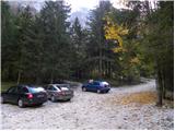
Between Trenta and Bovec, the road to Lepena branches off at the village of Soča. Follow this road, which is completely asphalted, to the parking area of the Dr. Klement Hugo House in Lepena.
Path description:
From the hut of Dr. Klement Hugo in Lepena, continue along the wide marked trail in the direction of Krnsko jezero. The wide and not too steep path splits into two parts after a few minutes of walking. The left one, which is a bit steeper, is normal, while the right one, which is flatter and a bit longer, is suitable for small children and the elderly. Both paths mostly climb through the forest to the top station of the cable car and cross a few times along the way.
From the upper station of the cargo cableway, continue along the same path, which climbs gently along a wide transport road, which quickly leads to the snow depth measurement (every year in April). From here on, the road starts to descend and quickly leads us past the turnoff for Velika Baba to the next crossroads, where we leave the road and continue left down the footpath, which leads us in a few minutes to Dom pri Krnskih jezerih (if we continue along the road, we bypass the mountain lodge).
From the house, continue straight ahead in the direction of Krn and Krnsko jezero along the gently sloping path, which is soon joined by a path that bypasses the mountain lodge. Continue past the shepherd's hut, past which you reach the next crossroads, where you turn left in the direction of Komna (straight ahead Krn and Krnsko jezero). A few 10 steps further on, another path from Krnsko jezero joins us from the right, and we continue along the gently sloping path, which continues along the edge of a pleasant valley. The way ahead takes us past the trail branch to Mali Šmohor (1939 m), which veers off our path to the right, and we continue on a slightly steeper path, which takes us past rare larch trees and through the dwarf pines belt. At the beginning of a levelling called Doliči, a marked path branches off to the right towards Prehodci and then on to the spring of Tolmin. There is some ascent, and then we reach the valley Za Lepočami, where the old military barracks from the time between the two world wars stand or used to stand (today only ruins remain). Here the path from Prehodci or from the spring Tolmin joins us from the right, and we continue in the direction of Komna. The increasingly scenic route, which continues for some time climbing up and along the slopes of Velika Montura (1958 m), continues to lead us along the well-preserved mulatier. A few minutes of moderate ascent follows and the path leads to Bogatinsko sedlo, where the next marked crossroads are located. At the saddle, continue right (straight down Komna, left Lanževica) along the path, which leads us in a few minutes to the initially inexpressive ridge Bogatin. The way forward begins to climb steeply on the very steep and crumbly north-west ridge Bogatin (danger of slipping and falling rocks). Higher up, the ridge narrows a little more, and the path is laid and leads us in a few 10 steps to the top of (Little) Bogatin.
From Bogatin continue along the ridge path, which begins to descend steeply towards the saddle between Bogatin and Mahavščko (due to the considerable steepness, there is a risk of slipping). From the saddle (which can also be reached by the marked path that bypasses the summit of Bogatin on the south-west side, the latter is much easier) continue along the ridge path, which begins to climb again. Higher up, the ridge path retreats to the Bohinj side, where it climbs crosswise over small scree fields. Next, the path returns to the main ridge and, after a few minutes of further walking, leads us to the top of Mahavščka.
Starting point - Dom pri Krnsko jezero 2:00, Dom pri Krnsko jezero - Bogatinsko sedlo 2:00, Bogatinsko sedlo - Bogatin 30 minutes, Bogatin - Mahavšček 30 minutes.

Pictures:
 1
1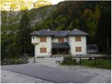 2
2 3
3 4
4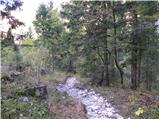 5
5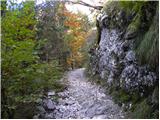 6
6 7
7 8
8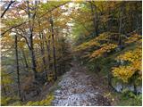 9
9 10
10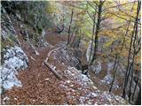 11
11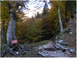 12
12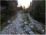 13
13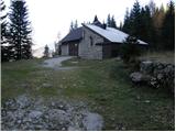 14
14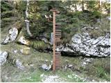 15
15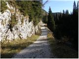 16
16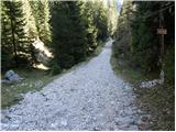 17
17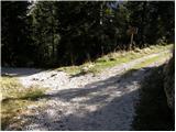 18
18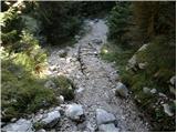 19
19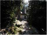 20
20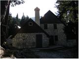 21
21 22
22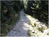 23
23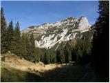 24
24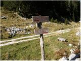 25
25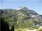 26
26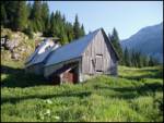 27
27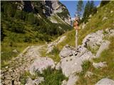 28
28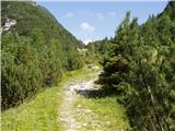 29
29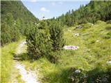 30
30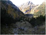 31
31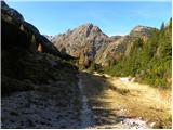 32
32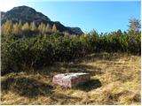 33
33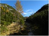 34
34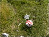 35
35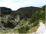 36
36 37
37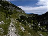 38
38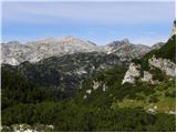 39
39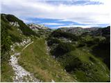 40
40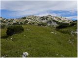 41
41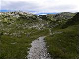 42
42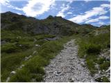 43
43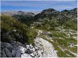 44
44 45
45 46
46 47
47 48
48 49
49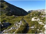 50
50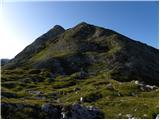 51
51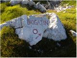 52
52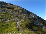 53
53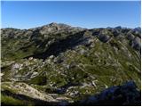 54
54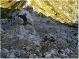 55
55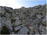 56
56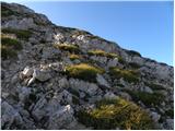 57
57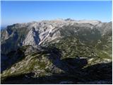 58
58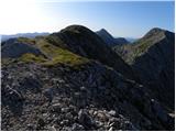 59
59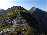 60
60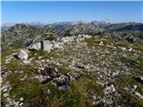 61
61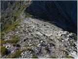 62
62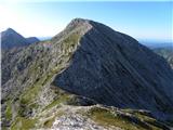 63
63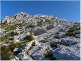 64
64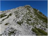 65
65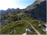 66
66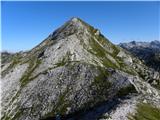 67
67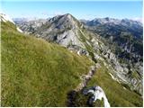 68
68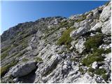 69
69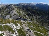 70
70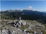 71
71
Discussion about the trail Dom v Lepeni - Mahavšček (via Bogatinsko sedlo)