Dom v Lepeni - Mali Šmohor
Starting point: Dom v Lepeni (700 m)
| Lat/Lon: | 46,3037°N 13,6814°E |
| |
Time of walking: 4 h
Difficulty: easy marked way
Altitude difference: 1239 m
Altitude difference po putu: 1239 m
Map: Julijske Alpe - zahodni del 1:50.000
Recommended equipment (summer): helmet
Recommended equipment (winter): helmet, ice axe, crampons
Views: 9.773
 | 1 person likes this post |
Access to the starting point:
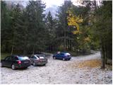
Between Trenta and Bovec, the road to Lepena branches off at the village of Soča. Follow this road, which is fully asphalted, to the parking lot of the house in Lepena.
Path description:
From the hut of Dr Klement Jug in Lepena, continue along the wide marked trail towards Krnske jezera. The wide and not to steep path splits into two parts after a few minutes of walking. The left one, which is a bit steeper, is normal, while the right one, which is flatter and a bit longer, is suitable for small children and the elderly. Both paths mostly climb through the forest to the top station of the cable car and cross a few times along the way. From the upper station of the cargo cableway, continue along the same path, which climbs gently along a wide transport road, which quickly leads to the snow depth measurement (every year in April). From here on, the road starts to descend and quickly leads us past the turnoff for Velika Baba to the next crossroads, where we leave the road and continue left down a footpath, which leads us in a few minutes to the house at Krnsko jezero (if we continue along the road, we bypass the mountain lodge). The road continues downhill for a few minutes.
From the house, continue straight on in the direction of Krno and Krnsko jezero along the gently sloping path, which is soon joined by a path that bypasses the mountain lodge. Continue past the shepherd's hut, past which you will reach the next crossroads, where you continue left in the direction of Komna and Mali Šmohor (right Krn). After a few minutes of ascending, the wide and gently sloping path leads you right in the direction of Mali Šmohor (straight ahead to Bogatinsko sedlo and Komna). The trail will take you up to the next crossroads, where you will continue left in the direction of Komna and Mali Šmohor (right Krn).
Continue initially along a small meadow, after which the path leads to dwarf pines. After a short climb through dwarf pines, the path leads us to an old partly overgrown military mulatier, which we then climb over less and less overgrown slopes. A pleasant and little-visited path along which we can observe many remains of the Soča Front, leads us in a moderate ascent under the steep walls of the Malá Šmohorje. Here, it is advisable to wear a helmet due to the risk of falling rocks. Continue cross-climbing over a scree slope, at the end of which the path turns left onto grassy slopes. The path then resumes its course and again reveals many remnants of the war (tunnels, shovels and other iron, which is neatly stacked). The path then climbs to the summit ridge, where it turns right and, after a short climb, leads to the summit. Lepena - house at Krnsko jezero 2:00, house at Krnsko jezero - Mali Šmohor 2:00.

Pictures:
 1
1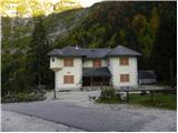 2
2 3
3 4
4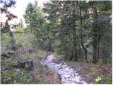 5
5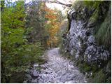 6
6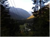 7
7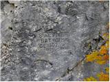 8
8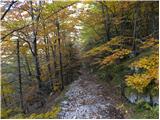 9
9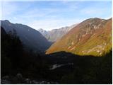 10
10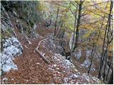 11
11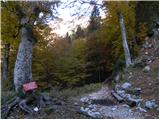 12
12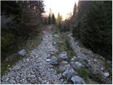 13
13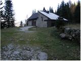 14
14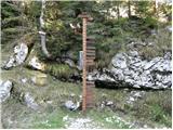 15
15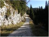 16
16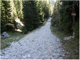 17
17 18
18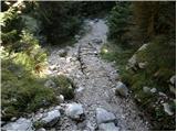 19
19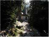 20
20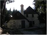 21
21 22
22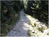 23
23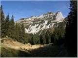 24
24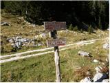 25
25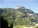 26
26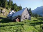 27
27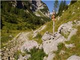 28
28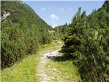 29
29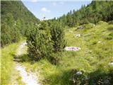 30
30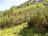 31
31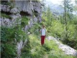 32
32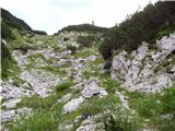 33
33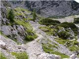 34
34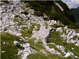 35
35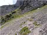 36
36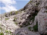 37
37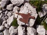 38
38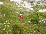 39
39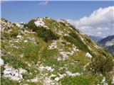 40
40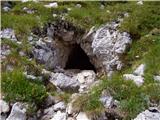 41
41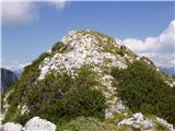 42
42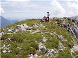 43
43
Discussion about the trail Dom v Lepeni - Mali Šmohor
|
| darh13. 08. 2012 |
Včeraj smo se po tej poti povzpeli na Mali Šmohor. V nasprotju z gnečo na Krnu smo bili tu povsem sami. Škoda edinole za meglice, ki so se vlekle po vrhovih in so nas prikrajšale za lepše razglede. Podrobneje o naši poti in vtisih pa tule.
|
|
|
|
| darinka431. 01. 2021 |
Zanimiva pot , ki ni označena a vseeno vidna je če greš naprej od jezera v smeri proti Krnu. Če najdeš začetek poti potem je vidna nekoč vojaška pot vse do vrha.
|
|
|
|
| mirank31. 01. 2021 |
Darinka, tisti če je odveč; tista mulatiera se začne v JV vogalu ravnice pl Polje, 50-100m levo (severno) od lepo vidne izrazite grape ki pada s sedla med Šmohorji in Vel. peski. Pripelje po tem rahlo poraščenem poboju na omenjeno sedlo, odkoder ni več daleč do ruševin It kasarn.
|
|
|
|
| darinka431. 01. 2021 |
Ampak je treba najti možica . Ki je postavljen ob poti , kjer se prične stara vojaška pot.
|
|
|
|
| franca28. 11. 2022 22:06:00 |
Je; na žigu piše Šmohor in 1944 m
|
|
|
|
| BorStenar29. 11. 2022 17:41:37 |
To je dost za en žig.
Hvala
|
|
|
|
| franca29. 11. 2022 20:57:12 |
To sem napisala zato, ker je zmešnjava z imeni in višinami; ta je po zemljevidu Veliki Šmohor, visok 1939 m; južno od njega je Mali Šmohor, visok 1944 m. Žig je očitno združen podatek, skupno ime in višina od višjega 
|
|
|
|
| BorStenar1. 12. 2022 20:20:30 |
Torej mali Šmohor je zemljevidno veliki, ki pa nima žiga
|
|
|