Dom v Lepeni - Vrh nad Peski (via Prag)
Starting point: Dom v Lepeni (700 m)
| Lat/Lon: | 46,3037°N 13,6814°E |
| |
Name of path: via Prag
Time of walking: 4 h 45 min
Difficulty: easy unmarked way
Altitude difference: 1476 m
Altitude difference po putu: 1476 m
Map: Julijske Alpe - zahodni del 1:50.000
Recommended equipment (summer):
Recommended equipment (winter): ice axe, crampons
Views: 13.004
 | 5 people like this post |
Access to the starting point:
Between Trenta and Bovec, the road to Lepena branches off at the village of Soča. Follow this road, which is completely asphalted, to the parking lot of the house in Lepena.
Path description:
From the hut of Dr Klement Hugo in Lepena, follow the wide marked trail towards the Krn lakes. The wide and not to steep path splits into two parts after a few minutes of walking. The left one, which is a bit steeper, is normal, while the right one, which is flatter and a bit longer, is suitable for small children and the elderly. Both paths mostly climb through the forest to the top station of the cable car and cross a few times along the way. From the upper station of the cargo cableway, continue along the same path, which climbs gently along a wide transport road, which quickly leads to the snow depth measurement (every year in April). From here on, the road starts to descend and quickly leads us past the turnoff for Velika Baba to the next crossroads, where we leave the road and continue left down a footpath, which leads us in a few minutes to the house at Krnsko jezero (if we continue along the road, we bypass the mountain lodge). The road continues downhill for a few minutes.
After a few more minutes, the gently sloping path leads us to the pearl of the Krn mountain range. In front of us we see Krnsko jezero and the inviting meadows to rest beside it. The marked trail then leads us along the left side of the lake at the foot of the Malá Šmohorja scree. On the other side of the lake, the path turns slightly to the left and then climbs up a slightly steeper slope, where we join the unmarked (upper) path a little higher up, which crosses the scree above Krnsko jezero (this path is slightly shorter, but exposed to falling rocks). The path then turns slightly right and leads to extensive deposits of torrential gravel, ending at mountain pasture on Polje.
With magnificent views of the surrounding peaks, cross the grassy mountain pasture at Polje (you will see a hunting lodge on the right-hand side, slightly off the marked path) and start climbing up the small valley behind it. The path then climbs a little more and soon leads to an unmarked crossroads. The marked path leading to Krnska škrbina turns right here, and we continue straight on the unmarked path, which leads us in a moderate ascent to the Prag Prevala, where we rejoin the marked path.
At Prag, where there is a marked crossroads, continue left in the direction of the hut at mountain pasture Razor (to the right Batognica and Krn, straight down to the lake in the Lužnice) on a path that crosses the slopes of Vrh nad Peski. After about 10 minutes of crossing the scree below Vrh nad Peski, you will come to a small crossroads, where you continue left in the direction "V. Sands". The way forward climbs in a few minutes to a small grassy saddle, and then continues along an increasingly scenic and occasionally quite steep path. This scenic and relatively steep path is then followed all the way to Vrh nad Peski, which is reached after a few minutes of further walking. House at Lepena - Krnsko jezero 2:15, Krnsko jezero - Vrh nad Peski 2:30.

Pictures:
 1
1 2
2 3
3 4
4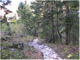 5
5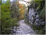 6
6 7
7 8
8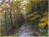 9
9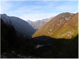 10
10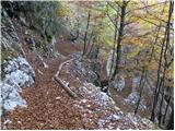 11
11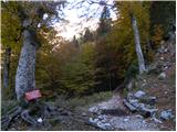 12
12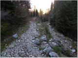 13
13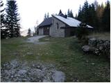 14
14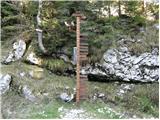 15
15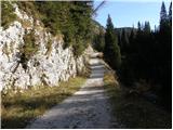 16
16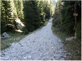 17
17 18
18 19
19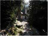 20
20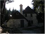 21
21 22
22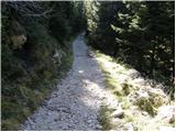 23
23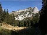 24
24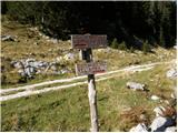 25
25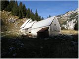 26
26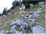 27
27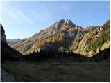 28
28 29
29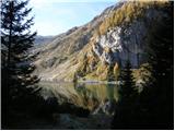 30
30 31
31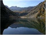 32
32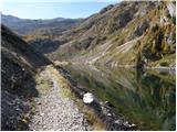 33
33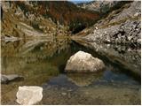 34
34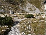 35
35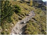 36
36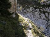 37
37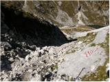 38
38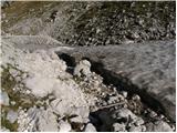 39
39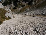 40
40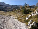 41
41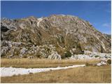 42
42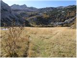 43
43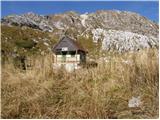 44
44 45
45 46
46 47
47 48
48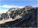 49
49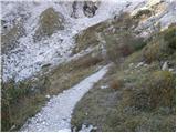 50
50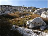 51
51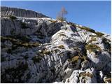 52
52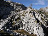 53
53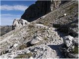 54
54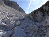 55
55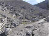 56
56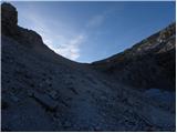 57
57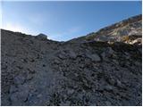 58
58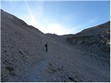 59
59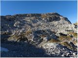 60
60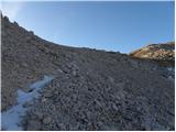 61
61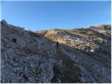 62
62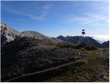 63
63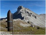 64
64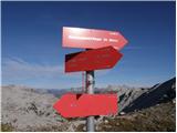 65
65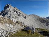 66
66 67
67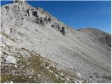 68
68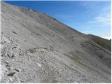 69
69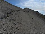 70
70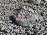 71
71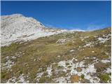 72
72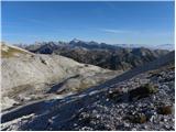 73
73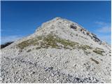 74
74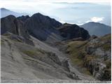 75
75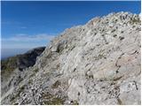 76
76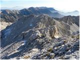 77
77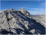 78
78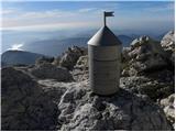 79
79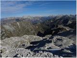 80
80
Discussion about the trail Dom v Lepeni - Vrh nad Peski (via Prag)
|
| peterhaf18. 02. 2009 |
Imam vprašanje. Je pot pretežka za to, da bi vzel s seboj psa (je vajen gora)?
|
|
|
|
| lepenatka26. 06. 2018 |
Vprašanje za poznavalce teh koncev  . A obstaja kak prehod iz Vrha nad Peski na Mali in naprej na Veliki Šmohor? Regina
|
|
|
|
| mirank26. 06. 2018 |
Seveda, saj je prav tam potekala 1.linija AO fronte, pa tudi sicer je pobočje dokaj enostavno prehodno. Z Vrha nad peski je še najbolje sestopiti na s v plitko dolinico, od tam se rahlo povzpneš na Velike peske. Ta naluknjani vršič kopaste oblike zapustiš v sev smeri in če si pazljiva opaziš sledi predhodnikov-stezico v smeri proti Šmohorjema. Vse je tako lepo pregledno da ne moreš falit, seveda če ni megle 
|
|
|
|
| lepenatka26. 06. 2018 |
Super. Hvala, mirank  . Ob prvem stabilnem vikendu pridem za 2 dni in obhodim nekaj vršacev okoli jezera 
|
|
|