Dom v Tamarju - Bivak pod Kotovim sedlom
Starting point: Dom v Tamarju (1108 m)
| Lat/Lon: | 46,476°N 13,7241°E |
| |
Time of walking: 3 h
Difficulty: difficult marked way
Altitude difference: 857 m
Altitude difference po putu: 857 m
Map: TNP 1:50.000
Recommended equipment (summer): helmet
Recommended equipment (winter): helmet, ice axe, crampons
Views: 13.086
 | 2 people like this post |
Access to the starting point:
First drive to Kranjska Gora, then continue to Rateče. At the junction where the road to Rateče turns right and the road to Itali continues straight ahead, turn left towards Planica. After a short climb, you will reach the ski jumps in Planica, where there are a few large car parks.
As the road to Dom v Tamarju is now closed to public traffic, we have to park already in Planica, which extends the journey by about 45 minutes.
Path description:
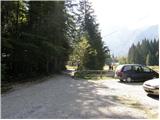
First, walk to Dom v Tamarju, and from there continue along the marked mountain trail in the direction of Jalovec and Ponec (Slemen's Spit on the left). The way forward leads us through the forest, which quickly leads us to the next crossroads, where the path to Ponce branches off to the right. Continue in the direction of Jalovec and continue the ascent along the path, which climbs gently through the forest for a short time. When you come out of the forest, you first climb for a while on extensive partly overgrown gravel, and then gradually reach a scree slope that continues towards Jalovec's frost heap. Follow the scree to a marked crossroads, where you continue to the right in the direction of Jalovec (straight ahead Jalovška škrbina and the path to Jalovec, which leads across the scree to Kotovo sedlo).
From the crossroads onwards the path passes onto steep slopes, over which it begins to climb. Further on, the path leads us over some slightly more difficult sections, where we are helped by fixed safety gear. Higher up, the path turns to the left and gradually flattens out. The path continues along the dwarf pines band, and on our right, about 100 metres away from the marked path, we see the bivouac under Kotovo sedlo, which is located under a large boulder (in the fog it will be difficult to see where the bivouac is located).
At this point we leave the marked trail and walk along an easier trackless path to the bivouac.

Pictures:
 1
1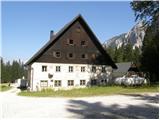 2
2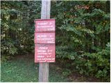 3
3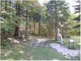 4
4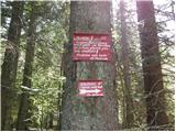 5
5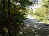 6
6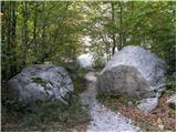 7
7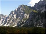 8
8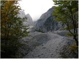 9
9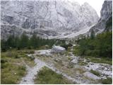 10
10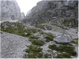 11
11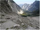 12
12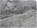 13
13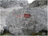 14
14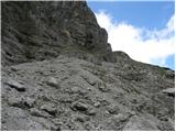 15
15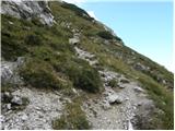 16
16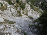 17
17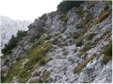 18
18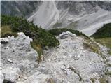 19
19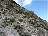 20
20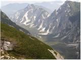 21
21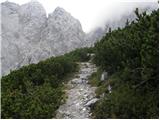 22
22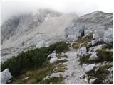 23
23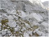 24
24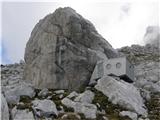 25
25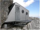 26
26
Discussion about the trail Dom v Tamarju - Bivak pod Kotovim sedlom
|
| m.b.2. 10. 2011 |
Krasna turca in popolen opis poti na tej strani.Le bivaka nisem mogla odpret,da bi prišla do žiga.
|
|
|
|
| Bobaje9. 12. 2011 |
Včeraj s kužam čez Brkico do bivaka tole nesramno kljuko podmazat. No, ko sm se končno lotil opravila, ki me je zvelklo gor, je bilo mazivo popolnoma neuporabno  Sem kompenzirav s kremo za sončenje. Upam, da bo boljš, če ne - pa ponovi! OK mav sm še očistil vhodni portal, malce užival na sončku in oddirjal nazaj v dolino po škratljca u vrtec. Aja še razmere: nekje do odcepa čez Brkico ne rabte zimske opreme, od odcepa naprej je pa obvezna. Pod prstom pršiča je namreč živ led. Višje je že kar nekaj snega, vendar gamaše ŽAL še niso obvezne. Take razmere so verjetno že zgodovina, ker ga je malo pred mrakom kr fajn medlo nad 1800. No ja bomo vidl. LP Bobaje
|
|
|
|
| m.b.10. 12. 2011 |
Sem vedla ,da moram pravmu rečt,pa je vse zrihtano.....Hvala!  ...Bom pa preverla,če je uredu za moje mišice  LP slikca Jalovca je pa vedno vredna pogleda 
|
|
|