Dom v Tamarju - Zadnja Ponca / Ponza di Detro
Starting point: Dom v Tamarju (1108 m)
| Lat/Lon: | 46,476°N 13,7241°E |
| |
Time of walking: 4 h
Difficulty: very difficult marked way
Altitude difference: 1134 m
Altitude difference po putu: 1250 m
Map: Julijske Alpe - zahodni del 1:50.000
Recommended equipment (summer): helmet, self belay set
Recommended equipment (winter): helmet, self belay set, ice axe, crampons
Views: 12.114
 | 2 people like this post |
Access to the starting point:
From Kranjska Gora, drive towards the Rateče border crossing, but only to the point where the road to Planica and the Tamar valley branches off to the left (at the village of Rateče). The road, which climbs moderately, soon leads to the large parking lot at the ski jumping hills in Planica. From here, continue along the dirt road towards the lodge in Tamar, which you will then follow to the parking lot located near the mountain lodge.
The road to the Tamar valley is now closed. This extends the journey by about 1 hour.
Path description:
From the parking lot, continue along the road past the house and follow the footpath marked Jalovec, Ponce. The path passes through the forest and soon leads to a crossroads, where you turn right to follow the signs Srednja Ponca, Visoka Ponca. The left path continues along the valley towards Kotovo sedlo and Jalovec. The path leads us out of the forest and starts to climb to the right of a small stream. The path turns right again and starts to climb through dwarf pines on a fairly steep slope. The path then turns slightly to the left and leads us past a small cave back into the forest through which we climb for some time. After a few steep climbs through the forest, the path leads us out of the forest and leads us to the first cable cars on the path. Here the path turns right and climbs steeply. The steepness soon gives way and the slopes to the north are traversed. Towards the end, the slopes become quite steep and there are some steel cables to help us. The trail then turns left and starts climbing again a little steeper up to the main Ponc ridge. On the ridge, turn right and there are only a few metres of ascent to the Srednja Ponca summit.
From the top of Srednja Ponca, return to the crossroads and then continue along the ridge past the "Bivacco Tarvisio" markers. The ridge becomes narrower and narrower and then descends into the Red Stub. At the notch the path turns to the Italian side and after a short exposed traverse climbs almost vertically along a narrow exposed path. The Fixed safety gear are destroyed and unusable on this part of the trail, so some caution is needed. The path then crosses the steep slopes on the Italian side of the ridge and then climbs towards the ridge. There is a short climb along a slightly exposed ridge to the top of Zadnja Ponce.

Pictures:
 1
1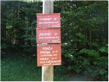 2
2 3
3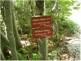 4
4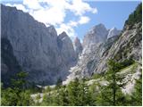 5
5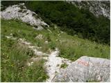 6
6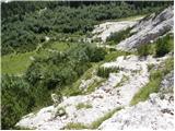 7
7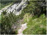 8
8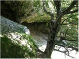 9
9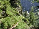 10
10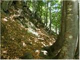 11
11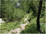 12
12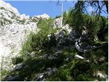 13
13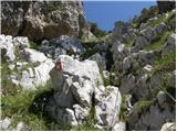 14
14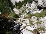 15
15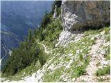 16
16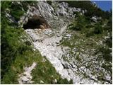 17
17 18
18 19
19 20
20 21
21 22
22 23
23 24
24 25
25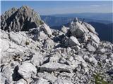 26
26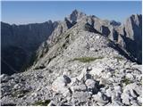 27
27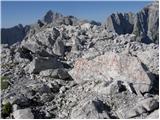 28
28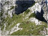 29
29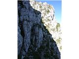 30
30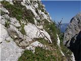 31
31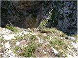 32
32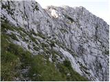 33
33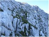 34
34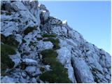 35
35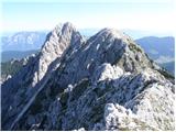 36
36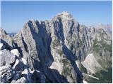 37
37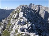 38
38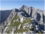 39
39 40
40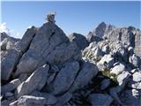 41
41
Discussion about the trail Dom v Tamarju - Zadnja Ponca / Ponza di Detro