Dovje - Planina Dovška Rožca
Starting point: Dovje (760 m)
| Lat/Lon: | 46,4687°N 13,9603°E |
| |
Time of walking: 2 h 25 min
Difficulty: easy marked way
Altitude difference: 890 m
Altitude difference po putu: 890 m
Map: Kranjska Gora 1:30.000
Recommended equipment (summer):
Recommended equipment (winter): ice axe, crampons
Views: 14.316
 | 1 person likes this post |
Access to the starting point:
Leave the Gorenjska motorway at the Hrušica exit and follow the road in the route Kranjska Gora, but only as far as the village Dovje near Mojstrana. Here we turn right (direction Dovje) and the road quickly leads us to the mentioned village from where we continue in the direction of Dovška Baba. The road leads us shortly after the village to a crossroads where we continue on the right road (sharp left Mittagskogel and Borovje). We then follow this road for another 100 m, after which we cross the stream Mlinca over a bridge, after which we see the mountain direction signs for Dovška Baba on the left side. Park in one of the parking places along the road.
Path description:
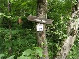
Direction signs for Frauenkogel direct you left on a footpath that begins to climb through the forest. After a few minutes of climbing, you will emerge from the forest into a slightly larger clearing, where you will also reach cart track. Continue climbing on cart track, which takes you past a small hut to a place where a new house is being built (weekend).
Here cart track ends, and we continue behind the house, on a path that is at first a little less visible. The trail quickly turns into a dense forest, where, with the exception of a few small clearings, it continues all the way to the abandoned mountain pasture of Goreljša.
Here the path turns left, climbs past the hut and after a short climb leads to cart track, which is followed eastwards in a moderate ascent. After a few minutes' scenic walk through mountain pasture, the path leads us to the next dilapidated hut, after which we continue to the left and, after a few more steps, we enter a forest road.
Cross the road and continue your ascent along the marked path, which returns to the forest. The ascent continues through a pleasant forest, ending on the scree of Bela Peć. Through the picturesque landscape, the ascent ascends gently, then the path enters the forest, where it continues until it reaches the forest road.
The ascent continues along the road, which after a few steps leads us to the place where we leave, as the markings direct us to the left on a steep footpath that continues to climb through the forest. The path crosses a grazing fence higher up, and a short scenic slope, and then returns to the forest, where it reaches a small unmarked crossroads. Continue left along the waymarked path (straight ahead to the source of the Starka spring, 1 minute), which climbs steeply again, then turns slightly to the right, where after a few minutes' further walking it leads to the lower edge of the mountain pasture Dovška Rožec. Here the path turns left and, after a few minutes' ascent through flowering meadows, leads us to the shepherd's hut at mountain pasture Dovška Rožca.

Pictures:
 1
1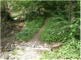 2
2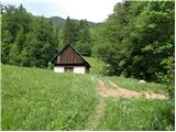 3
3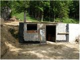 4
4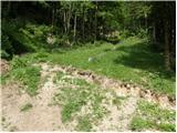 5
5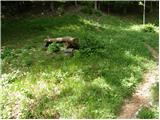 6
6 7
7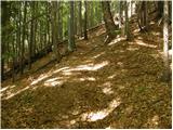 8
8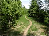 9
9 10
10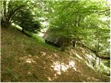 11
11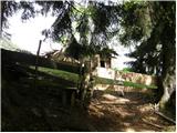 12
12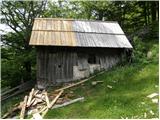 13
13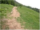 14
14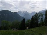 15
15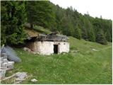 16
16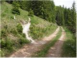 17
17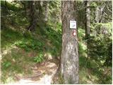 18
18 19
19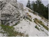 20
20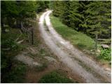 21
21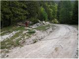 22
22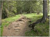 23
23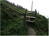 24
24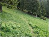 25
25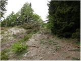 26
26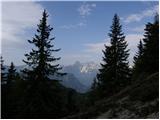 27
27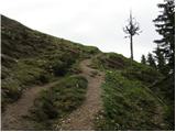 28
28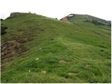 29
29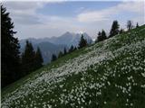 30
30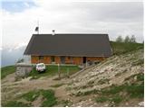 31
31
Discussion about the trail Dovje - Planina Dovška Rožca
|
| milena.Č25. 03. 2015 |
Pozdravljeni!
Naš namen je v soboto na planino Dovško Rošco in me zanima če je se sneg ?
|
|
|